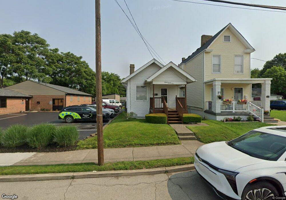
2094 Ross Ave Cincinnati, OH 45212
Estimated Value: $102,000 - $150,000
1
Bed
1
Bath
656
Sq Ft
$185/Sq Ft
Est. Value
About This Home
This home is located at 2094 Ross Ave, Cincinnati, OH 45212 and is currently estimated at $121,476, approximately $185 per square foot. 2094 Ross Ave is a home located in Hamilton County with nearby schools including Norwood High School, Cornerstone Christian Academy, and Immaculate Conception Academy.
Ownership History
Date
Name
Owned For
Owner Type
Purchase Details
Closed on
Mar 2, 2010
Sold by
Burgett Tommy Lee
Bought by
Brown Glen Dale
Current Estimated Value
Purchase Details
Closed on
Sep 17, 1998
Sold by
Green Earl
Bought by
Fossitt Mary
Purchase Details
Closed on
Jul 16, 1998
Sold by
Green Ernest
Bought by
Fossitt Mary
Purchase Details
Closed on
Jul 15, 1998
Sold by
Green Curtis
Bought by
Fossitt Mary
Create a Home Valuation Report for This Property
The Home Valuation Report is an in-depth analysis detailing your home's value as well as a comparison with similar homes in the area
Home Values in the Area
Average Home Value in this Area
Purchase History
| Date | Buyer | Sale Price | Title Company |
|---|---|---|---|
| Brown Glen Dale | $42,000 | Attorney | |
| Fossitt Mary | -- | -- | |
| Fossitt Mary | -- | -- | |
| Fossitt Mary | -- | -- |
Source: Public Records
Tax History
| Year | Tax Paid | Tax Assessment Tax Assessment Total Assessment is a certain percentage of the fair market value that is determined by local assessors to be the total taxable value of land and additions on the property. | Land | Improvement |
|---|---|---|---|---|
| 2025 | $1,448 | $27,832 | $7,259 | $20,573 |
| 2024 | $1,407 | $27,832 | $7,259 | $20,573 |
| 2023 | $1,445 | $27,832 | $7,259 | $20,573 |
| 2022 | $1,092 | $17,606 | $5,499 | $12,107 |
| 2021 | $1,051 | $17,606 | $5,499 | $12,107 |
| 2020 | $1,055 | $17,606 | $5,499 | $12,107 |
| 2019 | $1,005 | $15,442 | $4,823 | $10,619 |
| 2018 | $1,006 | $15,442 | $4,823 | $10,619 |
| 2017 | $954 | $15,442 | $4,823 | $10,619 |
| 2016 | $880 | $13,819 | $4,533 | $9,286 |
| 2015 | $780 | $13,819 | $4,533 | $9,286 |
| 2014 | $783 | $13,819 | $4,533 | $9,286 |
| 2013 | $824 | $14,700 | $4,823 | $9,877 |
Source: Public Records
Map
Nearby Homes
- 5123 Globe Ave
- 5126 Globe Ave
- 5121 Rolston Ave
- 2134 Ross Ave
- 2106 Lawn Ave
- 5119 Warren Ave
- 5203 Rolston Ave
- 5229 Globe Ave
- 5234 Hunter Ave
- 1945 Lawn Ave
- 5258 Hunter Ave
- 5256 Warren Ave
- 2217 Feldman Ave
- 2323 Sherwood Ln
- 5310 Globe Ave
- 1958 Catalina Ave
- 2229 Feldman Ave
- 5206 Montgomery Rd
- 5044 Wesley Ave
- 5042 Wesley Ave
- 2096 Ross Ave
- 2088 Ross Ave Unit S
- 2088 Ross Ave Unit L
- 2088 Ross Ave
- 5111 Globe Ave
- 5113 Globe Ave
- 2064 Ross Ave
- 2100 Ross Ave
- 2062 Ross Ave
- 5108 Hunter Ave
- 5106 Hunter Ave
- 5117 Globe Ave
- 2060 Ross Ave
- 5110 Hunter Ave
- 5110 Hunter Ave Unit 2
- 5112 Hunter Ave
- 5114 Hunter Ave
- 5110 Globe Ave
- 2106 Ross Ave
- 5116 Hunter Ave
Your Personal Tour Guide
Ask me questions while you tour the home.