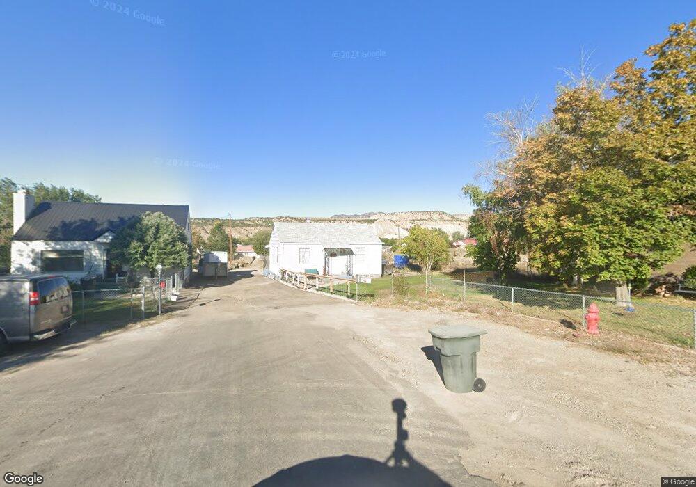
2094 W 4000 N Helper, UT 84526
Estimated Value: $189,000 - $219,000
2
Beds
1
Bath
1,330
Sq Ft
$151/Sq Ft
Est. Value
About This Home
This home is located at 2094 W 4000 N, Helper, UT 84526 and is currently estimated at $201,036, approximately $151 per square foot. 2094 W 4000 N is a home located in Carbon County with nearby schools including Sally Mauro School, Helper Middle School, and Carbon High School.
Ownership History
Date
Name
Owned For
Owner Type
Purchase Details
Closed on
Oct 8, 2022
Sold by
Lasslo Family Trust
Bought by
Olivas Anthony
Current Estimated Value
Home Financials for this Owner
Home Financials are based on the most recent Mortgage that was taken out on this home.
Original Mortgage
$176,561
Outstanding Balance
$170,877
Interest Rate
6.92%
Mortgage Type
FHA
Estimated Equity
$30,159
Purchase Details
Closed on
Sep 3, 2014
Sold by
Lasslo Andrew P and Lasslo Teresa A
Bought by
The Lasslo Family Trust
Purchase Details
Closed on
May 8, 2012
Sold by
Lasslo Andrew P
Bought by
Jacob Jeffrey L
Purchase Details
Closed on
May 4, 2012
Sold by
Jacob Jefferey L
Bought by
Jacob Jefferey L
Purchase Details
Closed on
Dec 28, 2011
Sold by
Jacob Jefferey L
Bought by
Lasslo Andrew P
Create a Home Valuation Report for This Property
The Home Valuation Report is an in-depth analysis detailing your home's value as well as a comparison with similar homes in the area
Home Values in the Area
Average Home Value in this Area
Purchase History
| Date | Buyer | Sale Price | Title Company |
|---|---|---|---|
| Olivas Anthony | -- | South Eastern Utah Title | |
| The Lasslo Family Trust | -- | None Available | |
| Jacob Jeffrey L | -- | None Available | |
| Jacob Jefferey L | -- | None Available | |
| Lasslo Andrew P | -- | South Eastern Utah Title Co | |
| Lasslo Andrew P | -- | -- |
Source: Public Records
Mortgage History
| Date | Status | Borrower | Loan Amount |
|---|---|---|---|
| Open | Olivas Anthony | $176,561 | |
| Closed | Olivas Anthony | $10,593 |
Source: Public Records
Tax History Compared to Growth
Tax History
| Year | Tax Paid | Tax Assessment Tax Assessment Total Assessment is a certain percentage of the fair market value that is determined by local assessors to be the total taxable value of land and additions on the property. | Land | Improvement |
|---|---|---|---|---|
| 2024 | $811 | $63,847 | $23,155 | $40,692 |
| 2023 | $659 | $56,076 | $13,750 | $42,326 |
| 2022 | $775 | $58,367 | $16,041 | $42,326 |
| 2021 | $716 | $85,582 | $23,520 | $62,062 |
| 2020 | $640 | $38,322 | $0 | $0 |
| 2019 | $477 | $34,935 | $0 | $0 |
| 2018 | $464 | $34,935 | $0 | $0 |
| 2017 | $355 | $27,107 | $0 | $0 |
| 2016 | $317 | $27,107 | $0 | $0 |
| 2015 | $317 | $27,107 | $0 | $0 |
| 2014 | $477 | $41,355 | $0 | $0 |
| 2013 | $481 | $41,355 | $0 | $0 |
Source: Public Records
Map
Nearby Homes
- 1945 W 4100 N
- 1727 W 4200 N
- 65 Locust St
- 73 Locust St
- 338 S 300 W
- 2595 Fairway Ln Unit 11
- 2485 N 2650 W
- 1240 W 2360 N
- 286 Duchesne St
- 653 Spring Canyon Rd
- 2093 Carbonville Rd
- 50 N Main St
- 180 Roosevelt St
- 744 Royal St
- 1433 W 2060 N
- 700 Spring Canyon Cir
- 156 Duchesne St
- 73 Garden St
- 148 Duchesne St
- 47 B St
- 2099 W 4000 N
- 2088 W 4000 N
- 2075 W 4000 N
- 2066 W 4000 N
- 4033 N Spring Glen Rd
- 2095 W 4100 N
- 3995 N Spring Glen Rd
- 2075 W 4100 N
- 2055 W 4000 N
- 4055 N 2000 W
- 4077 N Spring Glen Rd
- 2065 W 4100 N
- 2065 W 4100 N
- 4011 N Spring Glen Rd
- 2010 W 4000 N
- 3995 N 2000 W
- 2031 W 4100 N
- 3975 N 2000 W
- 4077 N 2000 W
- 2094 W 4100 N