2095 Mansfield Washington Rd Mansfield, OH 44903
Estimated Value: $607,000 - $697,674
3
Beds
5
Baths
3,547
Sq Ft
$184/Sq Ft
Est. Value
About This Home
This home is located at 2095 Mansfield Washington Rd, Mansfield, OH 44903 and is currently estimated at $652,337, approximately $183 per square foot. 2095 Mansfield Washington Rd is a home located in Richland County.
Ownership History
Date
Name
Owned For
Owner Type
Purchase Details
Closed on
Apr 4, 2025
Sold by
Hammett Tamara A
Bought by
Hammett Family Trust and Hammett
Current Estimated Value
Purchase Details
Closed on
Jun 24, 2022
Sold by
Hammett Tamara A
Bought by
Hammett Austen J and Hammett Ashley N
Purchase Details
Closed on
Oct 22, 2001
Sold by
Hammett Alice B
Bought by
Hammett Tamara A
Create a Home Valuation Report for This Property
The Home Valuation Report is an in-depth analysis detailing your home's value as well as a comparison with similar homes in the area
Home Values in the Area
Average Home Value in this Area
Purchase History
| Date | Buyer | Sale Price | Title Company |
|---|---|---|---|
| Hammett Family Trust | -- | Barrister Title | |
| Hammett Family Trust | -- | Barrister Title | |
| Hammett Austen J | $125 | Vetter Law Offices Ltd | |
| Hammett Tamara A | $51,865 | -- |
Source: Public Records
Tax History Compared to Growth
Tax History
| Year | Tax Paid | Tax Assessment Tax Assessment Total Assessment is a certain percentage of the fair market value that is determined by local assessors to be the total taxable value of land and additions on the property. | Land | Improvement |
|---|---|---|---|---|
| 2024 | $7,746 | $187,170 | $24,280 | $162,890 |
| 2023 | $7,746 | $187,170 | $24,280 | $162,890 |
| 2022 | $6,691 | $145,790 | $22,010 | $123,780 |
| 2021 | $6,820 | $149,270 | $25,490 | $123,780 |
| 2020 | $6,429 | $149,270 | $25,490 | $123,780 |
| 2019 | $6,202 | $125,660 | $21,360 | $104,300 |
| 2018 | $6,144 | $125,660 | $21,360 | $104,300 |
| 2017 | $6,025 | $125,660 | $21,360 | $104,300 |
| 2016 | $5,850 | $111,580 | $14,380 | $97,200 |
| 2015 | $5,523 | $111,580 | $14,380 | $97,200 |
| 2014 | $5,502 | $111,580 | $14,380 | $97,200 |
| 2012 | $2,564 | $115,040 | $14,830 | $100,210 |
Source: Public Records
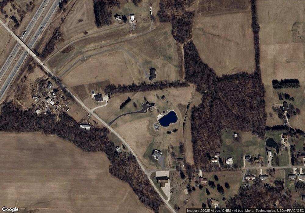
Map
Nearby Homes
- 2061 Washington North Rd
- 1875 Mansfield Lucas Rd
- 0 Woodville Rd Unit Lot 14952, 14953
- 0 Woodville Rd Unit Lot 14954, 14955
- 0 Woodville Rd Unit Lot 14956, 14957,
- 1135 E Hanley Rd
- 1679 Pulver Rd
- 0 Garver Washington Rd S
- 929 Antionette Dr
- 1599 S Main St
- 1680 S Main St
- 0 Yoha Dr
- 794 Mansfield Washington Rd
- 129 Elderberry Dr
- 65 Logan Rd
- 154 Elderberry Dr
- 148 Elderberry Dr
- 716 Mansfield Washington Rd
- 0 Garver Rd Washington Rd S Unit 20253648
- 0 State Route 39 & I-71 Southeast Quadrant
- 2065 Mansfield Washington Rd
- 817 Taylor Rd
- 2092 Mansfield Washington Rd
- 827 Taylor Rd
- 0 Mansfield Washington Rd Unit 502908
- 0 Mansfield Washington Rd Unit 9020261
- 0 Mansfield Washington Rd Unit 9023704
- 0 Mansfield Washington Rd Unit 9033690
- 0 Mansfield Washington Rd Unit 9037288
- 0 Mansfield Washington Rd Unit 2937096
- 0 Mansfield Washington Rd Unit 218039629
- 0 Mansfield Washington Rd Unit 4047450
- 889 Taylor Rd
- 00 Mansfield Washington Rd
- 826 Taylor Rd
- 905 Taylor Rd
- 1995 Mansfield Washington Rd
- 1990 Mansfield Washington Rd
- 921 Taylor Rd
- 1975 Mansfield Washington Rd