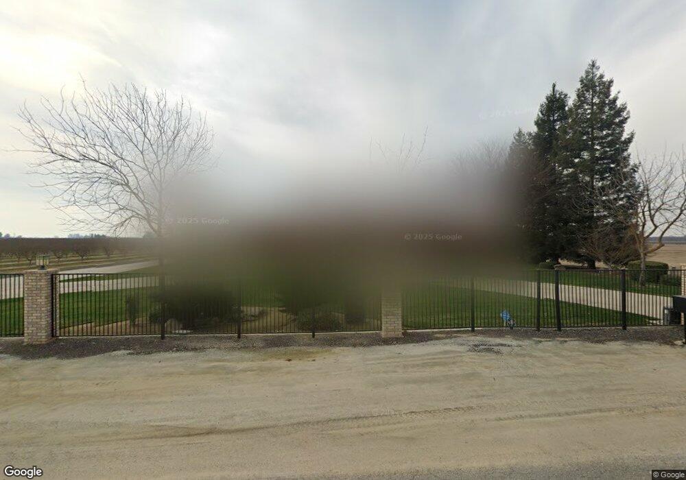
2095 N Dower Ave Fresno, CA 93723
Estimated Value: $617,000 - $866,735
4
Beds
4
Baths
3,622
Sq Ft
$204/Sq Ft
Est. Value
About This Home
This home is located at 2095 N Dower Ave, Fresno, CA 93723 and is currently estimated at $739,184, approximately $204 per square foot. 2095 N Dower Ave is a home located in Fresno County with nearby schools including Houghton-Kearney Elementary School and Central East High School.
Ownership History
Date
Name
Owned For
Owner Type
Purchase Details
Closed on
Dec 9, 2015
Sold by
Kodama Susan I
Bought by
Kodama Susan I
Current Estimated Value
Purchase Details
Closed on
Oct 11, 2013
Sold by
Kodama Wayne
Bought by
Kodama Wayne I and Kodama Susan I
Purchase Details
Closed on
Jul 23, 1998
Sold by
Kodama Merit I and Kodama Itoko
Bought by
Kodama Wayne
Home Financials for this Owner
Home Financials are based on the most recent Mortgage that was taken out on this home.
Original Mortgage
$200,000
Interest Rate
7.01%
Create a Home Valuation Report for This Property
The Home Valuation Report is an in-depth analysis detailing your home's value as well as a comparison with similar homes in the area
Home Values in the Area
Average Home Value in this Area
Purchase History
| Date | Buyer | Sale Price | Title Company |
|---|---|---|---|
| Kodama Susan I | -- | None Available | |
| Kodama Wayne I | -- | None Available | |
| Kodama Wayne | -- | First American Title Ins Co |
Source: Public Records
Mortgage History
| Date | Status | Borrower | Loan Amount |
|---|---|---|---|
| Closed | Kodama Wayne | $200,000 |
Source: Public Records
Tax History Compared to Growth
Tax History
| Year | Tax Paid | Tax Assessment Tax Assessment Total Assessment is a certain percentage of the fair market value that is determined by local assessors to be the total taxable value of land and additions on the property. | Land | Improvement |
|---|---|---|---|---|
| 2025 | $6,516 | $522,841 | $33,737 | $489,104 |
| 2023 | $6,346 | $502,540 | $32,428 | $470,112 |
| 2022 | $5,936 | $492,688 | $31,793 | $460,895 |
| 2021 | $5,983 | $483,028 | $31,170 | $451,858 |
| 2020 | $5,682 | $478,076 | $30,851 | $447,225 |
| 2019 | $5,595 | $468,703 | $30,247 | $438,456 |
| 2018 | $5,464 | $459,513 | $29,654 | $429,859 |
| 2017 | $5,486 | $450,504 | $29,073 | $421,431 |
| 2016 | $5,037 | $441,671 | $28,503 | $413,168 |
| 2015 | $5,017 | $435,037 | $28,075 | $406,962 |
| 2014 | $4,943 | $426,517 | $27,526 | $398,991 |
Source: Public Records
Map
Nearby Homes
- 10200 W Mckinley Ave
- 0 W Dan Ronquillo Dr S Roeding D Unit 636403
- 6674 W Mckinley Ave
- 0 N Unit btwn N. Rolinda & N.
- 10166 W Olive Ave
- 5395 N Garfield Ave
- 350 N Floyd Ave
- 4281 N Rolinda Ave
- 8280 W Ashlan Ave
- 3420 Vaughan Ave
- 3382 Gorma Ave
- 3418 Gorma Ave
- 12575 W F
- 12641 G St
- 12633 W East Ave
- 12441 W Shaw Ave
- 2590 N Grantland Ave
- 2210 N Grantland Ave
- 1328 N Grantland Ave
- 4152 N Tisha Ave
- 10400 W Mckinley Ave
- 10269 W Mckinley Ave
- 2518 N Dower Ave
- 10771 W Mckinley Ave
- 1764 N Dower Ave
- 2620 N Dower Ave
- 1660 N Dower Ave
- 2433 N Jameson Ave
- 9934 W Mckinley Ave
- 1934 N Dickenson Ave
- 9901 W Mckinley Ave
- 1882 N Dickenson Ave
- 1904 N Dickenson Ave
- 2663 N Dickenson Ave
- 1862 N Dickenson Ave
- 2620 N Dickenson Ave
- 10444 W Olive Ave
- 10242 W Olive Ave
- 10875 W Olive Ave
- 10200 W Shields Ave