20951 Handley Loop Clinton, MT 59825
Clinton NeighborhoodEstimated Value: $406,000 - $781,000
5
Beds
3
Baths
2,180
Sq Ft
$271/Sq Ft
Est. Value
About This Home
This home is located at 20951 Handley Loop, Clinton, MT 59825 and is currently estimated at $590,659, approximately $270 per square foot. 20951 Handley Loop is a home located in Missoula County with nearby schools including Clinton Elementary School and Sentinel High School.
Ownership History
Date
Name
Owned For
Owner Type
Purchase Details
Closed on
Sep 6, 2017
Sold by
Vibbert Brian C and Hinman Angela K
Bought by
Vibbert Brian C
Current Estimated Value
Home Financials for this Owner
Home Financials are based on the most recent Mortgage that was taken out on this home.
Original Mortgage
$228,000
Outstanding Balance
$177,562
Interest Rate
3.93%
Mortgage Type
New Conventional
Estimated Equity
$413,097
Purchase Details
Closed on
May 1, 2008
Sold by
Lackner Dennis C and Lackner Julie A
Bought by
Vibbert Brian C and Hinman Angela K
Home Financials for this Owner
Home Financials are based on the most recent Mortgage that was taken out on this home.
Original Mortgage
$264,600
Interest Rate
5.81%
Mortgage Type
Unknown
Create a Home Valuation Report for This Property
The Home Valuation Report is an in-depth analysis detailing your home's value as well as a comparison with similar homes in the area
Home Values in the Area
Average Home Value in this Area
Purchase History
| Date | Buyer | Sale Price | Title Company |
|---|---|---|---|
| Vibbert Brian C | -- | None Available | |
| Vibbert Brian C | -- | Insured Titles Llc |
Source: Public Records
Mortgage History
| Date | Status | Borrower | Loan Amount |
|---|---|---|---|
| Open | Vibbert Brian C | $228,000 | |
| Closed | Vibbert Brian C | $264,600 |
Source: Public Records
Tax History
| Year | Tax Paid | Tax Assessment Tax Assessment Total Assessment is a certain percentage of the fair market value that is determined by local assessors to be the total taxable value of land and additions on the property. | Land | Improvement |
|---|---|---|---|---|
| 2025 | $4,048 | $572,300 | $136,870 | $435,430 |
| 2024 | $4,640 | $479,100 | $91,720 | $387,380 |
| 2023 | $3,973 | $479,100 | $91,720 | $387,380 |
| 2022 | $2,984 | $297,700 | $0 | $0 |
| 2021 | $2,910 | $297,700 | $0 | $0 |
| 2020 | $2,910 | $287,500 | $0 | $0 |
| 2019 | $2,942 | $292,200 | $0 | $0 |
| 2018 | $2,714 | $282,600 | $0 | $0 |
| 2017 | $2,735 | $282,600 | $0 | $0 |
| 2016 | $2,547 | $276,500 | $0 | $0 |
| 2015 | $2,377 | $276,500 | $0 | $0 |
| 2014 | $2,387 | $155,661 | $0 | $0 |
Source: Public Records
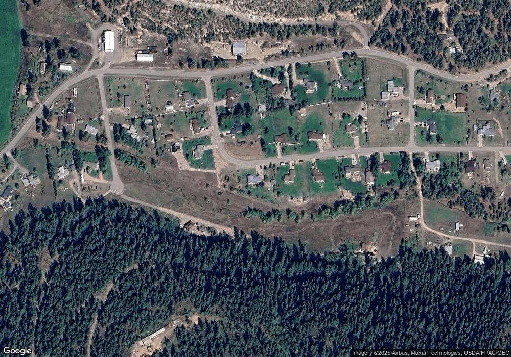
Map
Nearby Homes
- NHN Stitt St
- 11055 Silver St
- 22225 Wallace Creek Rd
- Nhn Us Highway 10 E
- Lot 13 Pamin Loop
- 21082 Pamin Loop
- 25575 Patter Spur Rd S
- 17755 E Mullan Rd
- Lot 15 Muddler Ct
- Lot 16 Stonefly Rd
- Lot 17 Caddisfly Ct
- Lot 11 Stonefly Rd
- Lot 12 Stonefly Rd
- Lot 9 Stonefly Rd
- 24570 Stonefly Rd
- Lot 2 Caddisfly Ct
- 14297 Caddisfly Ct
- Nhn Bonita Ranger Station Rd
- 14200 Turah Rd
- 27235 Lazy Springs Rd
- 20967 Handley Loop
- 20932 Handley Loop
- 20968 Handley Loop
- 20937 Handley Loop
- 20982 Handley Loop
- 20923 Handley Loop
- 20918 Handley Loop
- 20993 Handley Loop
- 21119 Wallace Creek Rd
- 20996 Handley Loop
- 21135 Wallace Creek Rd
- 20909 Handley Loop
- 20909 Handley Loop
- 21007 Handley Loop
- 21227 Wallace Creek Rd
- 9781 Neighbor Way
- 9732 Common Dr
- 9883 Common Dr
- 9721 Neighbor Way
- 21021 Handley Loop
Your Personal Tour Guide
Ask me questions while you tour the home.