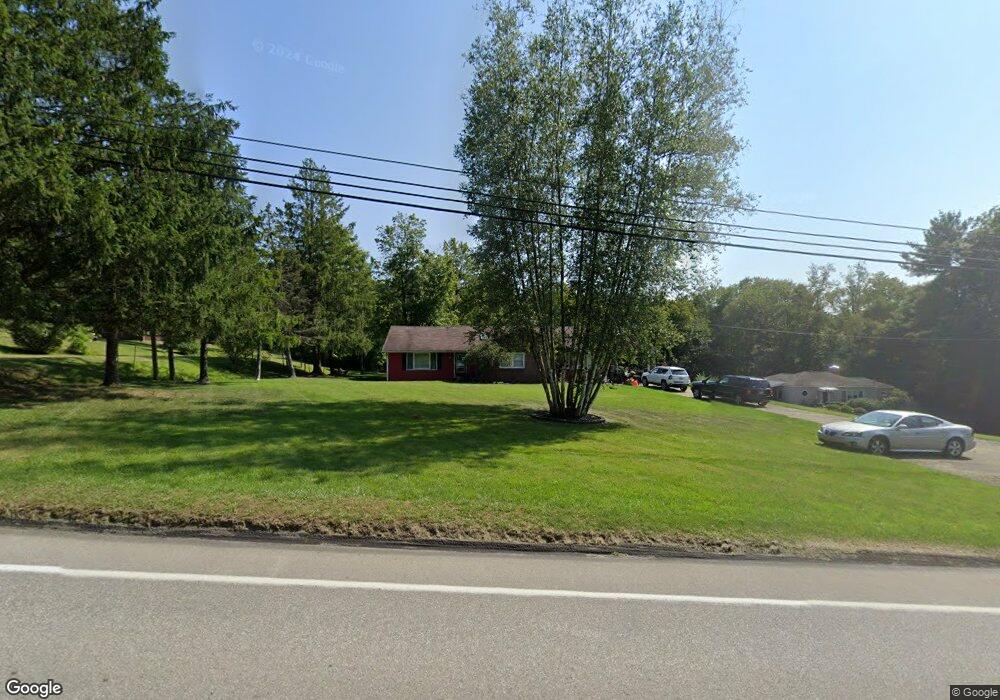
20959 Star Route Meadville, PA 16335
Estimated Value: $98,000 - $191,000
--
Bed
--
Bath
--
Sq Ft
0.94
Acres
About This Home
This home is located at 20959 Star Route, Meadville, PA 16335 and is currently estimated at $144,147. 20959 Star Route is a home located in Crawford County with nearby schools including Neason Hill Elementary School, Meadville Middle School, and Meadville Area Senior High School.
Ownership History
Date
Name
Owned For
Owner Type
Purchase Details
Closed on
May 13, 2015
Sold by
Secretary Of Housing & Urban Development
Bought by
Newcomb Thomas J
Current Estimated Value
Purchase Details
Closed on
Dec 16, 2013
Sold by
Phh Mortgage Corporation
Bought by
Secretary Of Housing & Urban Development
Purchase Details
Closed on
Mar 28, 2008
Sold by
Mclaughlin Sally Anne and Mclaughlin Joseph M
Bought by
Urey Jason W and Buzzell Marlo B
Home Financials for this Owner
Home Financials are based on the most recent Mortgage that was taken out on this home.
Original Mortgage
$130,945
Interest Rate
5.76%
Mortgage Type
FHA
Create a Home Valuation Report for This Property
The Home Valuation Report is an in-depth analysis detailing your home's value as well as a comparison with similar homes in the area
Home Values in the Area
Average Home Value in this Area
Purchase History
| Date | Buyer | Sale Price | Title Company |
|---|---|---|---|
| Newcomb Thomas J | $50,250 | None Available | |
| Secretary Of Housing & Urban Development | -- | None Available | |
| Urey Jason W | $133,000 | None Available |
Source: Public Records
Mortgage History
| Date | Status | Borrower | Loan Amount |
|---|---|---|---|
| Previous Owner | Urey Jason W | $130,945 |
Source: Public Records
Tax History Compared to Growth
Tax History
| Year | Tax Paid | Tax Assessment Tax Assessment Total Assessment is a certain percentage of the fair market value that is determined by local assessors to be the total taxable value of land and additions on the property. | Land | Improvement |
|---|---|---|---|---|
| 2025 | $793 | $29,273 | $4,050 | $25,223 |
| 2024 | $1,145 | $29,273 | $4,050 | $25,223 |
| 2023 | $1,174 | $29,273 | $4,050 | $25,223 |
| 2022 | $2,359 | $29,273 | $4,050 | $25,223 |
| 2021 | $2,304 | $29,273 | $4,050 | $25,223 |
| 2020 | $2,304 | $29,273 | $4,050 | $25,223 |
| 2019 | $2,304 | $29,273 | $4,050 | $25,223 |
| 2018 | $2,194 | $29,273 | $4,050 | $25,223 |
| 2017 | $2,171 | $29,273 | $4,050 | $25,223 |
| 2016 | $1,115 | $29,273 | $4,050 | $25,223 |
| 2015 | $1,115 | $48,250 | $4,050 | $44,200 |
| 2014 | -- | $48,250 | $4,050 | $44,200 |
Source: Public Records
Map
Nearby Homes
- 20899 Star Route
- 12336 Leslie Rd
- 802 Brawley Ave
- 826 Irvin Ave
- 21757 Star Route
- 970 S Morgan St
- 908 Fairview Ave
- 703-705 Chestnut St
- 685 Chestnut St
- 12988 Raymond Dr
- 673 Washington St
- 3214-024 Blooming Valley Rd
- 3210-72-6 Blooming Valley Rd
- 3210-072-6 Blooming Valley Rd
- 20865 Blooming Valley Rd
- 626 Walnut St
- 712 State St
- 537 Chestnut St
- 525 North St
- 1003 Catherine St
- 20959 Star Route 27
- 20937 Star Route
- 20999 Star Route
- 20976 Star Route
- 20918 Star Route
- 12028 Barclay Rd
- 12028 Barclay Rd
- 21032 Star Route
- 21047 Old Ellis Hill Rd
- 21113 Star Route
- 20814 Star Route
- 11933 Barclay Rd
- 20797 Star Route
- 21131 Star Route
- 21129 Star Route
- 20834 Old Ellis Hill Rd
- 11900 Barclay Rd
- 11928 Thurston Rd
- 11952 Thurston Rd
- 11890 Barclay Rd