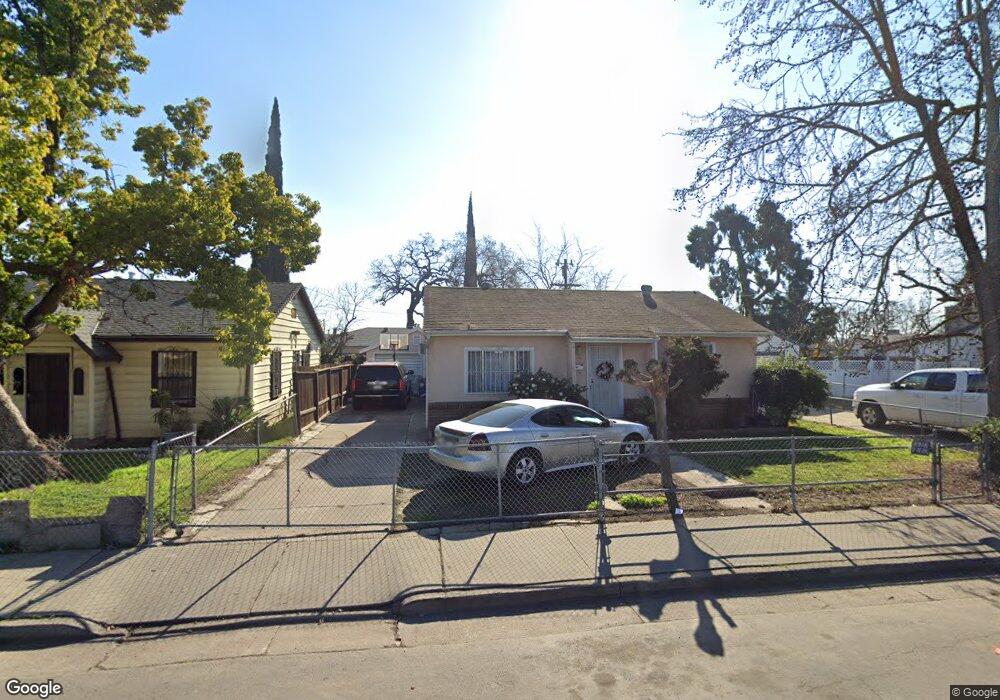
2096 E Flora St Stockton, CA 95205
East Stockton NeighborhoodEstimated Value: $232,000 - $372,000
2
Beds
1
Bath
963
Sq Ft
$333/Sq Ft
Est. Value
About This Home
This home is located at 2096 E Flora St, Stockton, CA 95205 and is currently estimated at $321,062, approximately $333 per square foot. 2096 E Flora St is a home located in San Joaquin County with nearby schools including John C. Fremont Elementary School, Fillmore Elementary School, and King Elementary School.
Ownership History
Date
Name
Owned For
Owner Type
Purchase Details
Closed on
Jan 29, 2016
Sold by
Sanchez Marco Antonio
Bought by
Sanchez Marco Antonio and Sanchez Maria
Current Estimated Value
Home Financials for this Owner
Home Financials are based on the most recent Mortgage that was taken out on this home.
Original Mortgage
$87,000
Outstanding Balance
$37,444
Interest Rate
3.93%
Mortgage Type
New Conventional
Estimated Equity
$283,618
Purchase Details
Closed on
May 9, 2002
Sold by
Sanchez Maria Imelde
Bought by
Sanchez Marco Antonio
Home Financials for this Owner
Home Financials are based on the most recent Mortgage that was taken out on this home.
Original Mortgage
$120,000
Interest Rate
7.13%
Create a Home Valuation Report for This Property
The Home Valuation Report is an in-depth analysis detailing your home's value as well as a comparison with similar homes in the area
Home Values in the Area
Average Home Value in this Area
Purchase History
| Date | Buyer | Sale Price | Title Company |
|---|---|---|---|
| Sanchez Marco Antonio | -- | First American Title Company | |
| Sanchez Marco Antonio | -- | North American Title Co | |
| Sanchez Marco Antonio | $120,000 | North American Title Co |
Source: Public Records
Mortgage History
| Date | Status | Borrower | Loan Amount |
|---|---|---|---|
| Open | Sanchez Marco Antonio | $87,000 | |
| Closed | Sanchez Marco Antonio | $120,000 |
Source: Public Records
Tax History Compared to Growth
Tax History
| Year | Tax Paid | Tax Assessment Tax Assessment Total Assessment is a certain percentage of the fair market value that is determined by local assessors to be the total taxable value of land and additions on the property. | Land | Improvement |
|---|---|---|---|---|
| 2025 | $2,212 | $177,261 | $53,176 | $124,085 |
| 2024 | $2,177 | $173,786 | $52,134 | $121,652 |
| 2023 | $2,128 | $170,379 | $51,112 | $119,267 |
| 2022 | $2,089 | $167,039 | $50,110 | $116,929 |
| 2021 | $2,007 | $163,765 | $49,128 | $114,637 |
| 2020 | $2,046 | $162,087 | $48,625 | $113,462 |
| 2019 | $2,038 | $158,910 | $47,672 | $111,238 |
| 2018 | $2,001 | $155,795 | $46,738 | $109,057 |
| 2017 | $1,895 | $152,741 | $45,822 | $106,919 |
| 2016 | $1,841 | $149,747 | $44,924 | $104,823 |
| 2015 | $1,394 | $113,000 | $34,000 | $79,000 |
| 2014 | $1,154 | $97,000 | $29,000 | $68,000 |
Source: Public Records
Map
Nearby Homes
- 1916 Vicki Ln
- 1804 E Flora St
- 1845 E Poplar St
- 1813 E Anita St
- 1926 E Roosevelt St
- 714 Belvedere Ave
- 2327 E Acacia St
- 328 Florence St
- 2416 E Poplar St
- 312 Florence St
- 1404 Williams St
- 1257 Sunnyside Ave
- 1902 E Harding Way
- 834 N Filbert St
- 2125 E Myrtle St
- 644 N Airport Way
- 1450 Belvedere Ave
- 1600 Sunnyside Ave
- 1620 Sycamore Ave
- 1037 N Airport Way
- 2098 E Flora St
- 2080 E Flora St
- 743 N Watts Ave
- 744 N Laurel St
- 735 N Watts Ave
- 734 N Laurel St
- 760 N Watts Ave
- 752 N Watts Ave
- 725 N Watts Ave
- 744 N Watts Ave
- 732 N Watts Ave
- 761 N Laurel St
- 749 N Laurel St
- 728 N Watts Ave
- 739 N Laurel St
- 714 N Laurel St
- 715 N Watts Ave
- 733 N Laurel St
- 718 N Watts Ave
- 755 N Gratton Ave