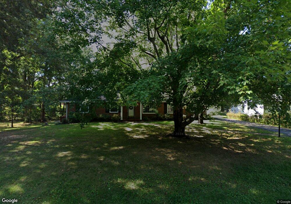
2097 Post Rd Clarksville, TN 37043
Estimated Value: $283,966 - $368,000
Studio
2
Baths
2,131
Sq Ft
$153/Sq Ft
Est. Value
About This Home
This home is located at 2097 Post Rd, Clarksville, TN 37043 and is currently estimated at $325,992, approximately $152 per square foot. 2097 Post Rd is a home located in Montgomery County with nearby schools including Barksdale Elementary School, Richview Middle School, and Clarksville High School.
Ownership History
Date
Name
Owned For
Owner Type
Purchase Details
Closed on
Sep 13, 2022
Sold by
Edward Shoulta William
Bought by
Crane Mark William
Current Estimated Value
Home Financials for this Owner
Home Financials are based on the most recent Mortgage that was taken out on this home.
Original Mortgage
$180,000
Interest Rate
4.99%
Mortgage Type
Construction
Create a Home Valuation Report for This Property
The Home Valuation Report is an in-depth analysis detailing your home's value as well as a comparison with similar homes in the area
Purchase History
| Date | Buyer | Sale Price | Title Company |
|---|---|---|---|
| Crane Mark William | $225,000 | -- | |
| Crane Mark William | $225,000 | None Listed On Document |
Source: Public Records
Mortgage History
| Date | Status | Borrower | Loan Amount |
|---|---|---|---|
| Closed | Crane Mark William | $180,000 |
Source: Public Records
Tax History
| Year | Tax Paid | Tax Assessment Tax Assessment Total Assessment is a certain percentage of the fair market value that is determined by local assessors to be the total taxable value of land and additions on the property. | Land | Improvement |
|---|---|---|---|---|
| 2024 | $2,343 | $77,575 | $0 | $0 |
| 2023 | $2,312 | $37,750 | $0 | $0 |
| 2022 | $1,593 | $37,750 | $0 | $0 |
| 2021 | $1,591 | $37,700 | $0 | $0 |
| 2020 | $1,515 | $37,700 | $0 | $0 |
| 2019 | $1,515 | $37,700 | $0 | $0 |
| 2018 | $1,429 | $17,275 | $0 | $0 |
| 2017 | $411 | $33,150 | $0 | $0 |
| 2016 | $1,018 | $33,150 | $0 | $0 |
| 2015 | $936 | $30,500 | $0 | $0 |
| 2014 | $1,268 | $30,500 | $0 | $0 |
| 2013 | $1,198 | $27,350 | $0 | $0 |
Source: Public Records
Map
Nearby Homes
- 2117 Post Rd
- 210 Essex Dr
- 222 E Meadow Cir
- 1857 Memorial Dr
- 335 Hampshire Dr
- 217 Hillcrest Dr
- 1877 Pardue Ct
- 1818 Memorial Dr Unit 18
- 1818 Memorial Dr Unit 41
- 33 Sherwood Dr
- 2172 Memorial Dr Unit C3
- 1662 Valley Rd
- 309 Kingswood Ct
- 411 Country Club Ct
- 416 Country Club Ct
- 428 Country Club Ct
- 394 Martha Ln
- 2292 Old Ashland City Rd
- 313 Fairway Dr
- 133 Sequoia Dr
- 2095 Post Rd
- 2074 Landon Rd
- 2093 Post Rd
- 2075 Landon Rd
- 2029 Montgomery Pkwy
- 188 W Meadow Dr
- 2031 Montgomery Pkwy
- 2076 Landon Rd
- 2025 Montgomery Pkwy
- 211 Paddock Rd
- 2100 Post Rd
- 2023 Montgomery Pkwy
- 215 Paddock Rd
- 209 Paddock Rd
- 143 W Meadow Dr
- 2077 Landon Rd
- 190 W Meadow Dr
- 191 W Meadow Dr
- 2021 Montgomery Pkwy
- 2078 Landon Rd
Your Personal Tour Guide
Ask me questions while you tour the home.