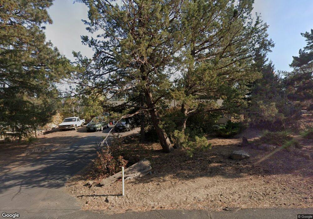
20971 Westview Dr Bend, OR 97702
Old Farm District NeighborhoodEstimated Value: $530,000 - $602,000
3
Beds
1
Bath
1,092
Sq Ft
$522/Sq Ft
Est. Value
About This Home
This home is located at 20971 Westview Dr, Bend, OR 97702 and is currently estimated at $570,449, approximately $522 per square foot. 20971 Westview Dr is a home located in Deschutes County with nearby schools including Silver Rail Elementary School, High Desert Middle School, and Bend Senior High School.
Ownership History
Date
Name
Owned For
Owner Type
Purchase Details
Closed on
Oct 4, 2021
Sold by
Turner Richard M
Bought by
Turner Richard M and Pollak Jeanine
Current Estimated Value
Purchase Details
Closed on
Apr 18, 2005
Sold by
Mead Kenneth M and Mead Inge Grete H
Bought by
Turner Richard M
Home Financials for this Owner
Home Financials are based on the most recent Mortgage that was taken out on this home.
Original Mortgage
$170,400
Outstanding Balance
$78,746
Interest Rate
4.29%
Mortgage Type
Negative Amortization
Estimated Equity
$491,703
Create a Home Valuation Report for This Property
The Home Valuation Report is an in-depth analysis detailing your home's value as well as a comparison with similar homes in the area
Home Values in the Area
Average Home Value in this Area
Purchase History
| Date | Buyer | Sale Price | Title Company |
|---|---|---|---|
| Turner Richard M | -- | None Available | |
| Turner Richard M | $213,000 | First Amer Title Ins Co Or |
Source: Public Records
Mortgage History
| Date | Status | Borrower | Loan Amount |
|---|---|---|---|
| Open | Turner Richard M | $170,400 |
Source: Public Records
Tax History
| Year | Tax Paid | Tax Assessment Tax Assessment Total Assessment is a certain percentage of the fair market value that is determined by local assessors to be the total taxable value of land and additions on the property. | Land | Improvement |
|---|---|---|---|---|
| 2025 | $3,366 | $199,240 | -- | -- |
| 2024 | $3,239 | $193,440 | -- | -- |
| 2023 | $3,002 | $187,810 | $0 | $0 |
| 2022 | $2,801 | $177,030 | $0 | $0 |
| 2021 | $2,806 | $171,880 | $0 | $0 |
| 2020 | $2,662 | $171,880 | $0 | $0 |
| 2019 | $2,588 | $166,880 | $0 | $0 |
| 2018 | $2,515 | $162,020 | $0 | $0 |
| 2017 | $2,441 | $157,310 | $0 | $0 |
| 2016 | $2,328 | $152,730 | $0 | $0 |
| 2015 | $2,263 | $148,290 | $0 | $0 |
| 2014 | $2,197 | $143,980 | $0 | $0 |
Source: Public Records
Map
Nearby Homes
- 61536 Ascha Rose Ct
- 61556 Twin Lakes Loop
- 1761 SE Ironwood Ct
- 61585 E Lake Dr
- 20977 Desert Woods Dr
- 20873 Greenmont Dr
- 61632 Pettigrew Rd Unit 18
- 21130 SE Reed Market Rd
- 1033 SE Laurelwood Place
- 61625 Daly Estates Dr Unit 4
- 61625 Daly Estates Dr Unit 2
- 20809 SE Westview Dr
- 61635 Daly Estates Dr Unit 17
- 61620 Daly Estates Dr
- 61450 Little John Ln
- 61445 SE 27th St Unit 86
- 61445 SE 27th St Unit 55
- 61445 SE 27th St Unit 48
- 61445 SE 27th St Unit 22
- 789 SE Airpark Dr
- 20971 SE Westview Dr
- 20975 SE Westview Dr
- 20975 Westview Dr
- 20974 Westview Dr
- 20974 SE Westview Dr
- 61538 Hillridge Rd
- 20969 SE Westview Dr
- 20989 SE Westview Dr
- 20969 Westview Dr
- 20970 Westview Dr
- 20989 Westview Dr
- 20964 Westview Dr
- 61532 Hillridge Rd
- 20990 Westview Dr
- 61521 SE Hill Ridge Rd
- 61524 Hillridge Rd
- 61521 Hillridge Rd
- 20993 Westview Dr
- 61556 Rockway Terrace
- 61571 Quay Ct
Your Personal Tour Guide
Ask me questions while you tour the home.