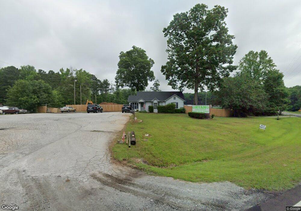
2098 McDaniels Bridge Rd SW Lilburn, GA 30047
Estimated Value: $394,000 - $460,576
--
Bed
--
Bath
1,111
Sq Ft
$385/Sq Ft
Est. Value
About This Home
This home is located at 2098 McDaniels Bridge Rd SW, Lilburn, GA 30047 and is currently estimated at $427,288, approximately $384 per square foot. 2098 McDaniels Bridge Rd SW is a home located in Gwinnett County with nearby schools including Head Elementary School, Five Forks Middle School, and Brookwood High School.
Ownership History
Date
Name
Owned For
Owner Type
Purchase Details
Closed on
Jan 21, 2021
Sold by
Mannino Linda P
Bought by
Vis Enterprises Llc
Current Estimated Value
Purchase Details
Closed on
Apr 13, 2000
Sold by
Smith B June
Bought by
Pratt Marcus D and Pratt Linda A
Home Financials for this Owner
Home Financials are based on the most recent Mortgage that was taken out on this home.
Original Mortgage
$246,100
Interest Rate
8.29%
Mortgage Type
Commercial
Create a Home Valuation Report for This Property
The Home Valuation Report is an in-depth analysis detailing your home's value as well as a comparison with similar homes in the area
Home Values in the Area
Average Home Value in this Area
Purchase History
| Date | Buyer | Sale Price | Title Company |
|---|---|---|---|
| Vis Enterprises Llc | $314,500 | -- | |
| Pratt Marcus D | $300,000 | -- |
Source: Public Records
Mortgage History
| Date | Status | Borrower | Loan Amount |
|---|---|---|---|
| Previous Owner | Pratt Marcus D | $246,100 |
Source: Public Records
Tax History Compared to Growth
Tax History
| Year | Tax Paid | Tax Assessment Tax Assessment Total Assessment is a certain percentage of the fair market value that is determined by local assessors to be the total taxable value of land and additions on the property. | Land | Improvement |
|---|---|---|---|---|
| 2025 | $5,087 | $136,400 | $91,480 | $44,920 |
| 2024 | $4,197 | $109,600 | $91,480 | $18,120 |
| 2023 | $4,197 | $76,000 | $66,840 | $9,160 |
| 2022 | $4,780 | $128,000 | $68,000 | $60,000 |
| 2021 | $6,195 | $162,600 | $148,200 | $14,400 |
| 2020 | $5,351 | $162,600 | $148,200 | $14,400 |
| 2019 | $6,010 | $162,600 | $148,200 | $14,400 |
| 2018 | $3,846 | $100,200 | $74,080 | $26,120 |
| 2016 | $3,842 | $100,200 | $74,080 | $26,120 |
| 2015 | $3,887 | $100,200 | $74,080 | $26,120 |
| 2014 | $3,909 | $100,200 | $74,080 | $26,120 |
Source: Public Records
Map
Nearby Homes
- 1905 Embassy Walk Ln
- 4000 Embassy Way
- 3588 Kelin Ct SW
- 3728 Kelin Ct SW
- 2047 Cliffton Terrace
- 1697 Paxton Dr SW
- 2546 Tullamore Cir
- 3594 Hedgestone Ln
- 3697 Chinaberry Ln
- 4353 Pond Edge Rd
- 1893 Hedgestone Ct
- 2432 Mistletoe Ln
- 3963 Ferncliff Rd
- 3964 Ferncliff Rd Unit 3
- 1776 Bear Cave SW
- 3932 Ferncliff Rd
- 3477 Chinaberry Ln
- 2350 Action Way
- 4268 Rocky Ledge Way
- 2088 McDaniels Bridge Rd SW
- 2109 McDaniels Bridge Rd SW
- 2118 McDaniels Bridge Rd SW
- 2099 McDaniels Bridge Rd SW
- 3793 Colima Way
- 3813 Colima Way
- 2109 McDaniels Bridge Rd SW
- 2089 McDaniels Bridge Rd SW
- 2044 Kensington Ct SW
- 2038 Kensington Ct SW
- 3823 Colima Way Unit 9
- 3823 Colima Way
- 2034 Kensington Ct SW
- 2079 McDaniels Bridge Rd SW
- 2035 Kensington Ct SW Unit 1
- 2035 Kensington Ct SW Unit 1/3
- 2035 Kensington Ct SW
- 2024 Kensington Ct SW
- 1961 Brook Enclave Trail
- 2116 Veracruz Dr