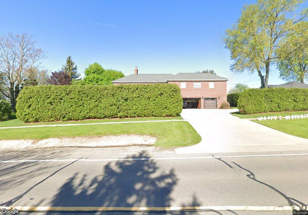
2098 Middlebelt Rd West Bloomfield, MI 48324
Estimated Value: $964,569 - $1,498,000
5
Beds
3
Baths
4,652
Sq Ft
$258/Sq Ft
Est. Value
About This Home
This home is located at 2098 Middlebelt Rd, West Bloomfield, MI 48324 and is currently estimated at $1,198,892, approximately $257 per square foot. 2098 Middlebelt Rd is a home with nearby schools including Walt Whitman Elementary School, Pontiac Middle School, and Pontiac High School.
Ownership History
Date
Name
Owned For
Owner Type
Purchase Details
Closed on
Mar 14, 2008
Sold by
Mayer Timothy A and Mayer Melanie A
Bought by
Mayer Timothy A and Mayer Melanie A
Current Estimated Value
Home Financials for this Owner
Home Financials are based on the most recent Mortgage that was taken out on this home.
Original Mortgage
$540,000
Outstanding Balance
$390,155
Interest Rate
8.37%
Mortgage Type
New Conventional
Estimated Equity
$808,737
Purchase Details
Closed on
Jun 1, 2007
Sold by
Donagrandi Martha A
Bought by
Mayer Timothy A
Purchase Details
Closed on
Jul 8, 2005
Sold by
Figa Investment Co Inc
Bought by
Martha A Donagrandi Trust
Create a Home Valuation Report for This Property
The Home Valuation Report is an in-depth analysis detailing your home's value as well as a comparison with similar homes in the area
Home Values in the Area
Average Home Value in this Area
Purchase History
| Date | Buyer | Sale Price | Title Company |
|---|---|---|---|
| Mayer Timothy A | -- | None Available | |
| Mayer Timothy A | $75,000 | Chirco Title Company | |
| Martha A Donagrandi Trust | $70,000 | Philip R Seaver Title Co Inc |
Source: Public Records
Mortgage History
| Date | Status | Borrower | Loan Amount |
|---|---|---|---|
| Open | Mayer Timothy A | $540,000 |
Source: Public Records
Tax History Compared to Growth
Tax History
| Year | Tax Paid | Tax Assessment Tax Assessment Total Assessment is a certain percentage of the fair market value that is determined by local assessors to be the total taxable value of land and additions on the property. | Land | Improvement |
|---|---|---|---|---|
| 2024 | $4,502 | $553,570 | $0 | $0 |
| 2022 | $4,295 | $535,730 | $30,050 | $505,680 |
| 2021 | $7,062 | $468,150 | $0 | $0 |
| 2020 | $3,954 | $418,930 | $30,050 | $388,880 |
| 2018 | $6,754 | $343,810 | $21,750 | $322,060 |
| 2015 | -- | $247,720 | $0 | $0 |
| 2014 | -- | $225,160 | $0 | $0 |
Source: Public Records
Map
Nearby Homes
- 2216 Middlebelt Rd
- 2468 Walce Dr
- 2230 Middlebelt Rd
- 2084 Woodrow Wilson Blvd Unit A6
- 1796 Briarcliff St
- 1775 Woodland Ave
- 2630 Depew Dr
- 1968 Maplewood Ave
- 1785 Ward Rd
- 1947 Maplewood Ave
- 2820 Wall St
- 2825 Wall St
- 2665 Middlebelt Rd
- 2622 Pine Ridge Rd
- 1675 Dell Rose Dr
- 1970 Beechmont St
- 2952 Prynne St
- 2918 Nagle Ct
- 0000 Ward Road Ward Rd
- 1160 Dorchester Ave
- 2301 Figa Ave
- 2090 Middlebelt Rd
- 2051 Saint Joseph St
- 2069 Saint Joseph St
- 2077 Saint Joseph St
- 2091 Saint Joseph St
- 2077 Spinnaker Ln
- 2104 Middlebelt Rd
- 2089 Spinnaker Ln
- 2035 Middlebelt Rd
- 2103 Saint Joseph St
- 2285 N Hammond Lake Rd
- 2103 Spinnaker Ln
- 2070 St Josph
- 2070 St Joseph
- 2118 Middlebelt Rd
- 2117 Saint Joseph St Unit Bldg-Unit
- 2117 Saint Joseph St
- 2088 Saint Joseph St
- 2265 N Hammond Lake Rd