20988 State Highway 15 New Ulm, MN 56073
Estimated Value: $253,607 - $300,000
2
Beds
1
Bath
768
Sq Ft
$351/Sq Ft
Est. Value
About This Home
This home is located at 20988 State Highway 15, New Ulm, MN 56073 and is currently estimated at $269,902, approximately $351 per square foot. 20988 State Highway 15 is a home located in Brown County with nearby schools including Washington Elementary School, Jefferson Elementary School, and New Ulm High School.
Ownership History
Date
Name
Owned For
Owner Type
Purchase Details
Closed on
Jan 31, 2023
Sold by
Johnson Marjorie
Bought by
Skyview Mhp Llc
Current Estimated Value
Home Financials for this Owner
Home Financials are based on the most recent Mortgage that was taken out on this home.
Original Mortgage
$200,000
Outstanding Balance
$193,702
Interest Rate
6.31%
Mortgage Type
New Conventional
Estimated Equity
$76,200
Create a Home Valuation Report for This Property
The Home Valuation Report is an in-depth analysis detailing your home's value as well as a comparison with similar homes in the area
Home Values in the Area
Average Home Value in this Area
Purchase History
| Date | Buyer | Sale Price | Title Company |
|---|---|---|---|
| Skyview Mhp Llc | $250,000 | -- |
Source: Public Records
Mortgage History
| Date | Status | Borrower | Loan Amount |
|---|---|---|---|
| Open | Skyview Mhp Llc | $200,000 |
Source: Public Records
Tax History Compared to Growth
Tax History
| Year | Tax Paid | Tax Assessment Tax Assessment Total Assessment is a certain percentage of the fair market value that is determined by local assessors to be the total taxable value of land and additions on the property. | Land | Improvement |
|---|---|---|---|---|
| 2024 | $1,742 | $211,200 | $83,900 | $127,300 |
| 2023 | $1,742 | $207,400 | $83,900 | $123,500 |
| 2022 | $1,701 | $180,900 | $73,700 | $107,200 |
| 2021 | $1,635 | $163,900 | $67,300 | $96,600 |
| 2020 | $1,605 | $156,300 | $61,200 | $95,100 |
| 2019 | $1,679 | $153,000 | $61,200 | $91,800 |
| 2018 | $1,682 | $150,200 | $61,200 | $89,000 |
| 2017 | $1,597 | $145,700 | $59,200 | $86,500 |
| 2016 | $1,618 | $144,936 | $0 | $0 |
| 2015 | -- | $0 | $0 | $0 |
| 2014 | -- | $0 | $0 | $0 |
| 2013 | -- | $0 | $0 | $0 |
Source: Public Records
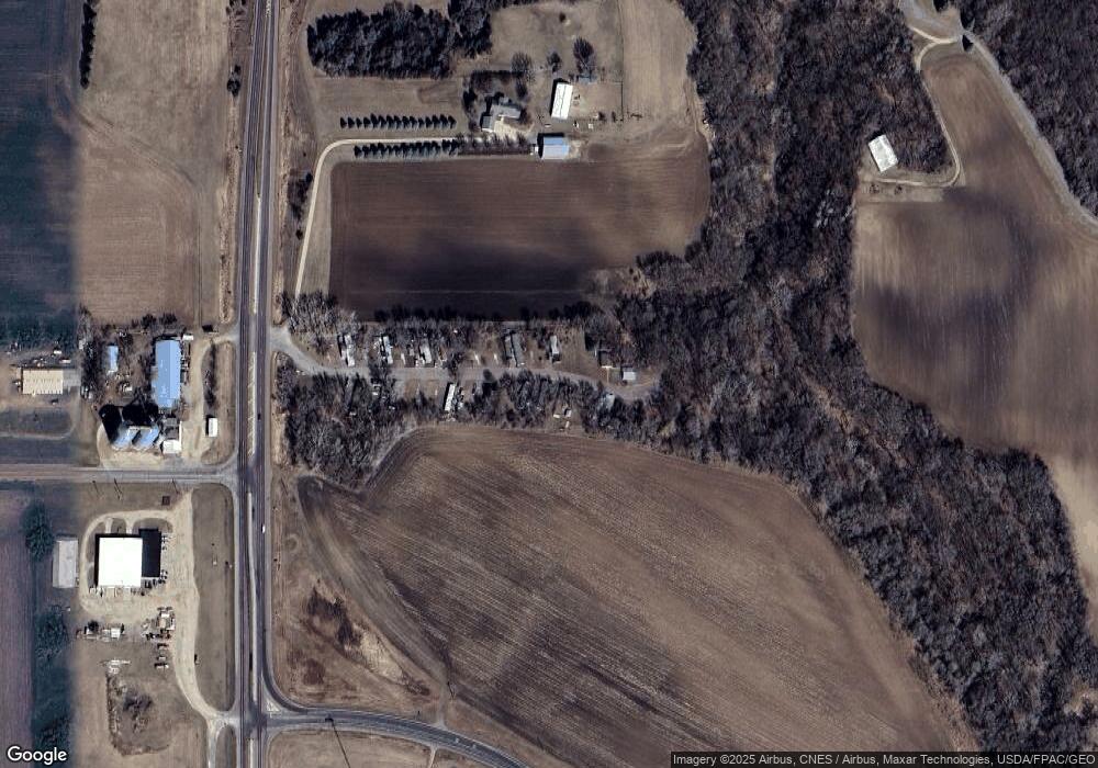
Map
Nearby Homes
- xxx Lot 3 Division Street St
- TBD Shag Rd
- 1210 Cottonwood St
- 56947 Hillcrest Ln
- 0 Jeremy Dr
- 1511 Crestwood Ln
- 1501 S Franklin St
- 1120 Southridge Rd
- 1105 S Valley St
- Tbd Shag Rd Unit LotWP001
- 915 S Valley St
- 126 S Franklin St
- 108 S Franklin St
- 12 S Franklin St
- 611 Center St
- 100 S Front St
- 0 Tbd Water St Unit 7038864
- 0 Tbd N 12th Unit 7030473
- 0 Tbd N 12th Unit 7030477
- 0 Tbd N 12th Unit 7030471
- 20996 State Highway 15
- 12504 State Highway 68
- 12971 Shag Rd
- 21365 State Highway 15
- 20677 State Highway 15
- 12570 State Highway 68
- 20637 State Highway 15
- 13245 County Road 25
- 20613 State Highway 15
- 13258 County Road 25
- 12963 Shag Rd
- 20577 State Highway 15
- 20577 Minnesota 15
- 21468 State Highway 15
- 21468 State Highway 15
- 21468 State Highway 15
- 21468 State Highway 15
- 21468 State Highway 15
- 21468 State Highway 15
- 20537 State Highway 15