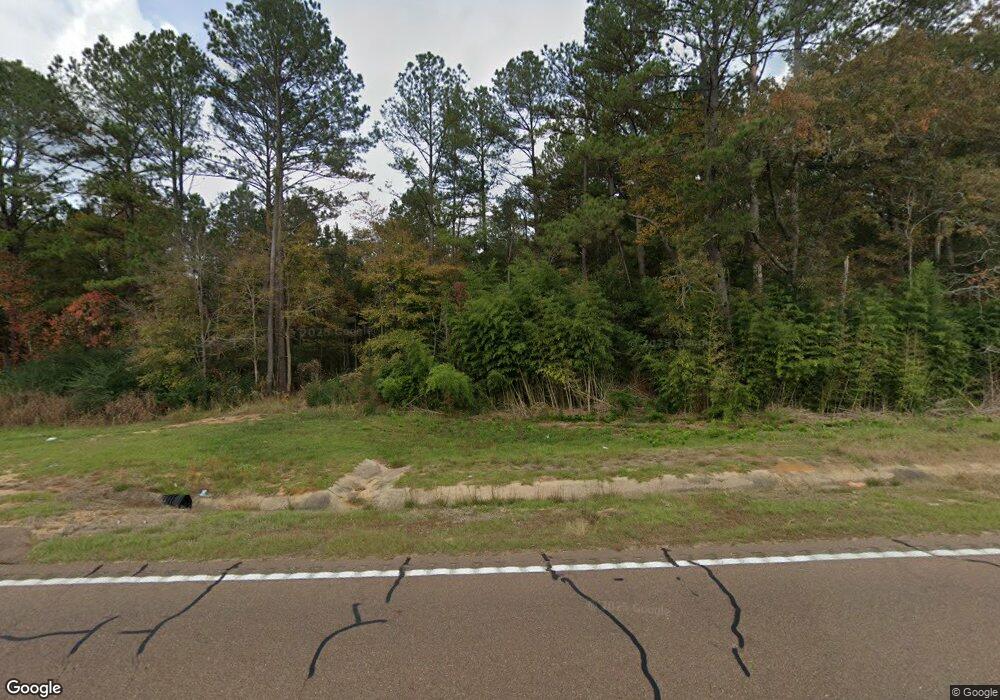
2099 Highway 570 W Summit, MS 39666
Estimated Value: $206,000 - $237,000
3
Beds
2
Baths
1,950
Sq Ft
$116/Sq Ft
Est. Value
About This Home
This home is located at 2099 Highway 570 W, Summit, MS 39666 and is currently estimated at $226,891, approximately $116 per square foot. 2099 Highway 570 W is a home located in Pike County with nearby schools including Otken Elementary School, Higgins Middle School, and Denman Junior High School.
Ownership History
Date
Name
Owned For
Owner Type
Purchase Details
Closed on
May 8, 2024
Sold by
Longview Properties Llc
Bought by
Walker Capital Llc
Current Estimated Value
Purchase Details
Closed on
May 5, 2022
Sold by
Demarcus Butler
Bought by
Long Eli Lundy
Purchase Details
Closed on
Aug 16, 2019
Sold by
Scott Beverly
Bought by
Lundy Long Eli and Long Lesley Claire
Purchase Details
Closed on
Jan 5, 2005
Sold by
Sledge Risher Rhenae K and Sledge Rhenae K
Bought by
Scott Ray and Scott Beverly
Home Financials for this Owner
Home Financials are based on the most recent Mortgage that was taken out on this home.
Original Mortgage
$84,865
Interest Rate
5.63%
Mortgage Type
Unknown
Create a Home Valuation Report for This Property
The Home Valuation Report is an in-depth analysis detailing your home's value as well as a comparison with similar homes in the area
Home Values in the Area
Average Home Value in this Area
Purchase History
| Date | Buyer | Sale Price | Title Company |
|---|---|---|---|
| Walker Capital Llc | -- | None Listed On Document | |
| Long Eli Lundy | -- | Robison Holmes Van Norman Pllc | |
| Lundy Long Eli | -- | None Available | |
| Scott Ray | -- | None Available |
Source: Public Records
Mortgage History
| Date | Status | Borrower | Loan Amount |
|---|---|---|---|
| Previous Owner | Scott Ray | $84,865 |
Source: Public Records
Tax History Compared to Growth
Tax History
| Year | Tax Paid | Tax Assessment Tax Assessment Total Assessment is a certain percentage of the fair market value that is determined by local assessors to be the total taxable value of land and additions on the property. | Land | Improvement |
|---|---|---|---|---|
| 2025 | $1,055 | $10,073 | $0 | $0 |
| 2024 | $896 | $8,841 | $0 | $0 |
| 2023 | $878 | $8,841 | $0 | $0 |
| 2022 | $856 | $8,841 | $0 | $0 |
| 2021 | $851 | $8,841 | $0 | $0 |
| 2020 | $901 | $9,220 | $0 | $0 |
| 2019 | $1,753 | $13,830 | $0 | $0 |
| 2018 | $215 | $9,220 | $0 | $0 |
| 2017 | $187 | $8,985 | $0 | $0 |
| 2016 | $184 | $8,985 | $0 | $0 |
| 2015 | -- | $8,743 | $0 | $0 |
| 2014 | -- | $8,743 | $0 | $0 |
| 2013 | -- | $8,743 | $0 | $0 |
Source: Public Records
Map
Nearby Homes
- 4164 Magnolia Pisgah Rd
- 2194 Mississippi 570
- 0 Paige Dr
- 1016 L A Brister Rd
- 1020 Perry Ln
- 1122 Willis Cotton Rd
- 3000 Delaware Ave
- 2701 Seminole Dr
- 0 Delaware
- 306 Cherokee Dr
- 0 Country Lake Dr Unit 4128554
- 0 Country Lake Dr Unit 4128553
- TBD Natchez Dr
- 501A Commanche Dr
- 2074 Magnolia Pisgah Rd
- 138 Woodland Ridge Dr
- 000 Pike Point Place
- 0 Stovall Ln
- 200 Robb St
- 0000 Mississippi 570
- 2099 Mississippi 570
- 2082 Mississippi 570
- 2132 Highway 570 W
- 2066 Mississippi 570
- 2149 Highway 570 W
- 2057 Highway 570 W
- 2150 Highway 570 W
- 4192 Magnolia Pisgah Rd
- 2144 Highway 570 W
- 2155 Highway 570 W
- 2048 Highway 570 W
- 4182 Magnolia Pisgah Rd
- 2116 Highway 570 W
- 2160 Highway 570 W
- 2077 Highway 570 W
- 4191 Magnolia Pisgah Rd
- 5009 Magnolia Pisgah Rd
- 1032 Dye Ln
- 1050 Dye Ln
- 4165 Magnolia Pisgah Rd
