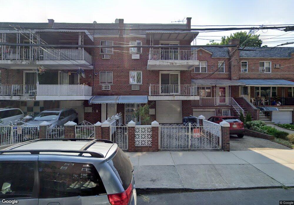
2099 Muliner Ave Bronx, NY 10462
Pelham Parkway NeighborhoodEstimated Value: $859,736 - $1,206,000
Studio
--
Bath
3,454
Sq Ft
$304/Sq Ft
Est. Value
About This Home
This home is located at 2099 Muliner Ave, Bronx, NY 10462 and is currently estimated at $1,050,434, approximately $304 per square foot. 2099 Muliner Ave is a home located in Bronx County with nearby schools including Pelham Academy, Bronx Green Middle School, and Bronx Charter School For Excellence 2.
Ownership History
Date
Name
Owned For
Owner Type
Purchase Details
Closed on
Sep 5, 2015
Sold by
Shields Nkosi and Shields Paulettte
Bought by
Shields Nkosi and Shields Paulettte
Current Estimated Value
Home Financials for this Owner
Home Financials are based on the most recent Mortgage that was taken out on this home.
Original Mortgage
$256,000
Outstanding Balance
$200,239
Interest Rate
3.95%
Mortgage Type
New Conventional
Estimated Equity
$850,195
Purchase Details
Closed on
Jan 11, 2006
Sold by
Shields Paulette and Shields Vaughn
Bought by
Shields Nkosi and Shields Paulette
Purchase Details
Closed on
Aug 20, 1993
Sold by
Zarro Italo and Zarro Laura
Bought by
Shields Vaughn and Shields Paulette
Create a Home Valuation Report for This Property
The Home Valuation Report is an in-depth analysis detailing your home's value as well as a comparison with similar homes in the area
Home Values in the Area
Average Home Value in this Area
Purchase History
| Date | Buyer | Sale Price | Title Company |
|---|---|---|---|
| Shields Nkosi | -- | -- | |
| Shields Nkosi | -- | -- | |
| Shields Nkosi | -- | -- | |
| Shields Nkosi | -- | -- | |
| Shields Vaughn | -- | Commonwealth Land Title Insu | |
| Shields Vaughn | -- | Commonwealth Land Title Insu |
Source: Public Records
Mortgage History
| Date | Status | Borrower | Loan Amount |
|---|---|---|---|
| Open | Shields Nkosi | $256,000 | |
| Closed | Shields Nkosi | $256,000 |
Source: Public Records
Tax History
| Year | Tax Paid | Tax Assessment Tax Assessment Total Assessment is a certain percentage of the fair market value that is determined by local assessors to be the total taxable value of land and additions on the property. | Land | Improvement |
|---|---|---|---|---|
| 2025 | $9,335 | $46,829 | $9,789 | $37,040 |
| 2024 | $9,335 | $46,477 | $10,359 | $36,118 |
| 2023 | $8,905 | $43,847 | $8,503 | $35,344 |
| 2022 | $8,258 | $50,400 | $11,100 | $39,300 |
| 2021 | $8,213 | $40,920 | $11,100 | $29,820 |
| 2020 | $8,260 | $43,020 | $11,100 | $31,920 |
| 2019 | $8,102 | $41,460 | $11,100 | $30,360 |
| 2018 | $7,448 | $36,539 | $10,562 | $25,977 |
| 2017 | $7,027 | $34,471 | $10,203 | $24,268 |
| 2016 | $6,501 | $32,520 | $11,100 | $21,420 |
| 2015 | $4,197 | $36,080 | $11,593 | $24,487 |
| 2014 | $4,197 | $34,282 | $11,015 | $23,267 |
Source: Public Records
Map
Nearby Homes
- 2129 Muliner Ave
- 2080 Matthews Ave
- - Lydig Ave
- 2116 Bogart Ave
- 2118 Bogart Ave
- 2080 Barnes Ave Unit 5B
- 2080 Barnes Ave Unit 4A
- 2080 Barnes Ave Unit 4C
- 2080 Barnes Ave Unit 4-E
- 2080 Barnes Ave Unit 3B
- 2080 Barnes Ave Unit 3H
- 2080 Barnes Ave Unit 6F
- 2090 Barnes Ave Unit 3G
- 2165 Matthews Ave Unit 4A
- 2165 Matthews Ave Unit 4F
- 2165 Matthews Ave Unit 4B
- 2165 Mathews Ave Unit 5H
- 2037 Radcliff Ave
- 2019 Colden Ave
- 2105 Wallace Ave Unit 5A
- 2101 Muliner Ave
- 2097 Muliner Ave
- 2103 Muliner Ave
- 2095 Muliner Ave
- 2105 Muliner Ave
- 2093 Muliner Ave
- 2107 Muliner Ave
- 2091 Muliner Ave
- 2109 Muliner Ave
- 2096 Matthews Ave
- 2089 Muliner Ave
- 2098 Matthews Ave
- 2094 Matthews Ave
- 2110 Matthews Ave
- 2092 Matthews Ave
- 2111 Muliner Ave
- 2112 Matthews Ave
- 2087 Muliner Ave
- 2090 Matthews Ave
- 2113 Muliner Ave
Your Personal Tour Guide
Ask me questions while you tour the home.