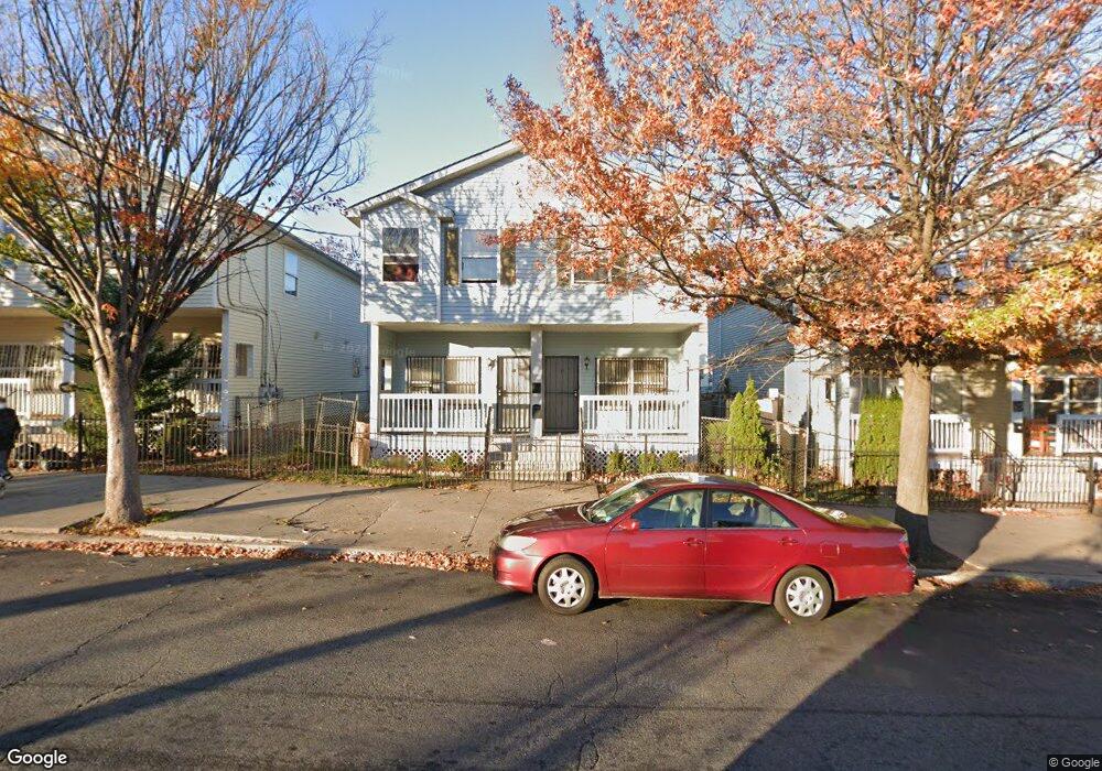
21 16th Ave Unit 23 Newark, NJ 07103
Springfield-Belmont NeighborhoodEstimated Value: $480,000 - $609,000
--
Bed
--
Bath
2,168
Sq Ft
$244/Sq Ft
Est. Value
About This Home
This home is located at 21 16th Ave Unit 23, Newark, NJ 07103 and is currently estimated at $529,978, approximately $244 per square foot. 21 16th Ave Unit 23 is a home located in Essex County with nearby schools including Cleveland Elementary School, Camden Street Elementary School, and Sir Isaac Newton Elementary School.
Ownership History
Date
Name
Owned For
Owner Type
Purchase Details
Closed on
Feb 19, 1999
Sold by
Hayes Diane
Bought by
Hayes Clara
Current Estimated Value
Home Financials for this Owner
Home Financials are based on the most recent Mortgage that was taken out on this home.
Original Mortgage
$79,950
Interest Rate
7.81%
Mortgage Type
FHA
Purchase Details
Closed on
Sep 27, 1996
Sold by
Cmty Urban
Bought by
Hayes Diane
Home Financials for this Owner
Home Financials are based on the most recent Mortgage that was taken out on this home.
Original Mortgage
$67,000
Interest Rate
8.06%
Create a Home Valuation Report for This Property
The Home Valuation Report is an in-depth analysis detailing your home's value as well as a comparison with similar homes in the area
Home Values in the Area
Average Home Value in this Area
Purchase History
| Date | Buyer | Sale Price | Title Company |
|---|---|---|---|
| Hayes Clara | $80,000 | -- | |
| Hayes Diane | $79,900 | -- |
Source: Public Records
Mortgage History
| Date | Status | Borrower | Loan Amount |
|---|---|---|---|
| Previous Owner | Hayes Clara | $79,950 | |
| Previous Owner | Hayes Diane | $67,000 |
Source: Public Records
Tax History Compared to Growth
Tax History
| Year | Tax Paid | Tax Assessment Tax Assessment Total Assessment is a certain percentage of the fair market value that is determined by local assessors to be the total taxable value of land and additions on the property. | Land | Improvement |
|---|---|---|---|---|
| 2025 | $4,966 | $133,200 | $23,100 | $110,100 |
| 2024 | $4,966 | $133,200 | $23,100 | $110,100 |
| 2022 | $4,976 | $133,200 | $23,100 | $110,100 |
| 2021 | $4,974 | $133,200 | $23,100 | $110,100 |
| 2020 | $5,062 | $133,200 | $23,100 | $110,100 |
| 2019 | $5,010 | $133,200 | $23,100 | $110,100 |
| 2018 | $4,919 | $133,200 | $23,100 | $110,100 |
| 2017 | $5,703 | $160,200 | $23,100 | $137,100 |
| 2016 | $5,511 | $160,200 | $23,100 | $137,100 |
| 2015 | $5,301 | $160,200 | $23,100 | $137,100 |
| 2014 | $4,968 | $160,200 | $23,100 | $137,100 |
Source: Public Records
Map
Nearby Homes
- 352 Bergen St
- 375 Littleton Ave
- 377 Littleton Ave
- 336 S 6th St
- 292 W Kinney St Unit 1206
- 292 W Kinney St
- 281 Morris Ave
- 272 W Kinney St Unit 1303
- 60 Faith Ct
- 200 Bergen St
- 118 Irvine Turner Blvd
- 25 Jacob St
- 34 Holland St
- 36 Holland St
- 270 Muhammad Ali Ave
- 27.5 Winans Ave
- 37 Martha Ct
- 27 Winans Ave
- 474 15th Ave
- 420 18th Ave
- 25 16th Ave
- 17 16th Ave Unit 19
- 27 16th Ave Unit 29
- 301 Hunterdon St
- 31 16th Ave
- 299 Hunterdon St
- 310 Bergen St
- 306 Bergen St Unit 308
- 295 Hunterdon St Unit 297
- 304 Bergen St
- 293 Hunterdon St
- 293 Hunterdon St Unit 2
- 300 Bergen St Unit 302
- 289 Hunterdon St Unit 291
- 298 Bergen St
- 287 Hunterdon St
- 290 Hunterdon St
- 377 Morris Ave
- 420-430 Springfield Ave
- 296 Bergen St