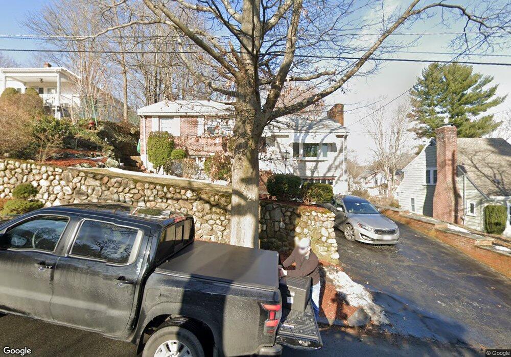
21 Aaron St Melrose, MA 02176
Oak Grove-Pine Banks NeighborhoodEstimated Value: $729,000 - $801,283
3
Beds
2
Baths
1,697
Sq Ft
$449/Sq Ft
Est. Value
About This Home
This home is located at 21 Aaron St, Melrose, MA 02176 and is currently estimated at $762,071, approximately $449 per square foot. 21 Aaron St is a home located in Middlesex County with nearby schools including Lincoln Elementary School, Roosevelt Elementary School, and Winthrop Elementary School.
Ownership History
Date
Name
Owned For
Owner Type
Purchase Details
Closed on
Feb 15, 2022
Sold by
Difraia Francis J
Bought by
Francis J Difraia Ret
Current Estimated Value
Purchase Details
Closed on
Jan 19, 1982
Bought by
Bauer Roy G and Bauer Difraia F J
Create a Home Valuation Report for This Property
The Home Valuation Report is an in-depth analysis detailing your home's value as well as a comparison with similar homes in the area
Home Values in the Area
Average Home Value in this Area
Purchase History
| Date | Buyer | Sale Price | Title Company |
|---|---|---|---|
| Francis J Difraia Ret | -- | None Available | |
| Bauer Roy G | -- | -- |
Source: Public Records
Mortgage History
| Date | Status | Borrower | Loan Amount |
|---|---|---|---|
| Previous Owner | Bauer Roy G | $10,032 | |
| Previous Owner | Bauer Roy G | $27,000 |
Source: Public Records
Tax History
| Year | Tax Paid | Tax Assessment Tax Assessment Total Assessment is a certain percentage of the fair market value that is determined by local assessors to be the total taxable value of land and additions on the property. | Land | Improvement |
|---|---|---|---|---|
| 2025 | $63 | $640,300 | $402,300 | $238,000 |
| 2024 | $6,100 | $614,300 | $376,300 | $238,000 |
| 2023 | $5,846 | $561,000 | $350,400 | $210,600 |
| 2022 | $5,716 | $540,800 | $337,400 | $203,400 |
| 2021 | $5,626 | $513,800 | $324,400 | $189,400 |
| 2020 | $5,390 | $487,800 | $298,500 | $189,300 |
| 2019 | $4,977 | $460,400 | $285,500 | $174,900 |
| 2018 | $4,583 | $404,500 | $236,800 | $167,700 |
| 2017 | $4,405 | $373,300 | $227,100 | $146,200 |
| 2016 | $4,098 | $332,400 | $201,100 | $131,300 |
| 2015 | $4,308 | $332,400 | $201,100 | $131,300 |
| 2014 | $4,199 | $316,200 | $184,900 | $131,300 |
Source: Public Records
Map
Nearby Homes
- 355 Washington St
- 300 Park Terrace Dr Unit 354
- 509 Pleasant St Unit 1-4
- 447 Pleasant St
- 232 Pleasant St
- 62 Maple St
- 244 Main St
- 25 Shadow Rd
- 340 Main St Unit 508
- 340 Main St Unit 206
- 6 Colby Terrace
- 333 Main St
- 7 Executive Dr Unit 233
- 55 Boston Rock Rd
- 77 Lynde St
- 70 Sylvan St
- 236-238 Main St
- 15 Cass St
- 35 Maple Rd
- 48 Malvern St Unit 2
Your Personal Tour Guide
Ask me questions while you tour the home.