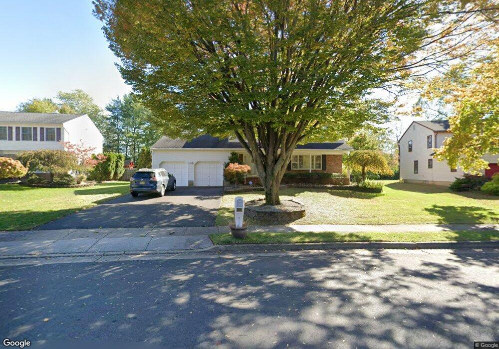
21 Aspen Cir Edison, NJ 08820
Estimated Value: $851,000 - $1,024,000
Studio
--
Bath
2,303
Sq Ft
$407/Sq Ft
Est. Value
About This Home
This home is located at 21 Aspen Cir, Edison, NJ 08820 and is currently estimated at $936,654, approximately $406 per square foot. 21 Aspen Cir is a home located in Middlesex County with nearby schools including James Madison Primary School, James Madison Intermediate School, and John Adams Middle School.
Ownership History
Date
Name
Owned For
Owner Type
Purchase Details
Closed on
Jun 30, 2003
Sold by
Kulkarni Madhavi
Bought by
Kulkarni Prahlad R
Current Estimated Value
Home Financials for this Owner
Home Financials are based on the most recent Mortgage that was taken out on this home.
Original Mortgage
$400,000
Interest Rate
5.27%
Purchase Details
Closed on
Jul 26, 2000
Sold by
Mattia Ronald
Bought by
Hardy Sharon Ott
Create a Home Valuation Report for This Property
The Home Valuation Report is an in-depth analysis detailing your home's value as well as a comparison with similar homes in the area
Home Values in the Area
Average Home Value in this Area
Purchase History
| Date | Buyer | Sale Price | Title Company |
|---|---|---|---|
| Kulkarni Prahlad R | -- | -- | |
| Kulkarni Prahlad | $500,000 | -- | |
| Hardy Sharon Ott | $410,000 | -- |
Source: Public Records
Mortgage History
| Date | Status | Borrower | Loan Amount |
|---|---|---|---|
| Previous Owner | Kulkarni Prahlad | $400,000 |
Source: Public Records
Tax History
| Year | Tax Paid | Tax Assessment Tax Assessment Total Assessment is a certain percentage of the fair market value that is determined by local assessors to be the total taxable value of land and additions on the property. | Land | Improvement |
|---|---|---|---|---|
| 2025 | $17,216 | $292,400 | $107,500 | $184,900 |
| 2024 | $17,124 | $289,200 | $107,500 | $181,700 |
Source: Public Records
Map
Nearby Homes
- 1610 Oak Tree Rd
- 30 Bender Ave
- 1821 Oak Tree Rd
- 21 Middlesex Ave
- 3 Hummingbird Ln
- 48 Lynnwood Rd
- 73 Christie St
- 24 Maple Rd
- 9 Holly Rd
- 87 Ellmyer Rd
- 98 Trieste St
- 1868 Oak Tree Rd
- 28 Silzer Ave
- 64 W Francis St
- 265 Correja Ave
- 89 W Warren St
- 68 W Edward St
- 74 Fiat Ave
- 212 E Louis Place
- 199 E Louis Place
Your Personal Tour Guide
Ask me questions while you tour the home.