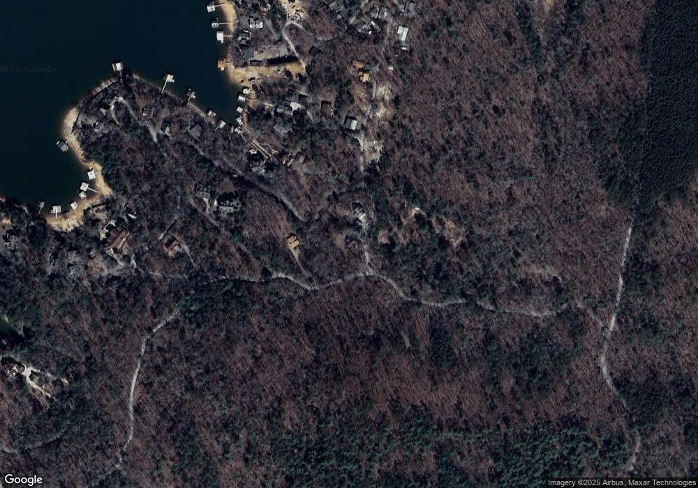
21 Beacon Point Rd Morganton, GA 30560
Estimated Value: $503,000 - $780,000
4
Beds
3
Baths
2,128
Sq Ft
$311/Sq Ft
Est. Value
About This Home
This home is located at 21 Beacon Point Rd, Morganton, GA 30560 and is currently estimated at $661,333, approximately $310 per square foot. 21 Beacon Point Rd is a home located in Fannin County with nearby schools including Fannin County High School.
Ownership History
Date
Name
Owned For
Owner Type
Purchase Details
Closed on
Oct 29, 2010
Sold by
Fannie Mae
Bought by
Myers Terry W and Myers Betty B
Current Estimated Value
Purchase Details
Closed on
Apr 6, 2010
Sold by
Phh Mortgage Corporation
Bought by
Federal National Mortgage Association
Purchase Details
Closed on
May 9, 2008
Sold by
Walsh Daniel
Bought by
Martinez Joel C and Martinez Margaret K
Purchase Details
Closed on
Mar 15, 2005
Sold by
Ingram Gregory
Bought by
Walsh Daniel S
Purchase Details
Closed on
Oct 10, 2002
Sold by
Johnson Earl W
Bought by
Ingram Gregory
Purchase Details
Closed on
Jan 31, 2002
Sold by
Sunrise Cove Llc
Bought by
Johnson Earl W
Create a Home Valuation Report for This Property
The Home Valuation Report is an in-depth analysis detailing your home's value as well as a comparison with similar homes in the area
Home Values in the Area
Average Home Value in this Area
Purchase History
| Date | Buyer | Sale Price | Title Company |
|---|---|---|---|
| Myers Terry W | $115,500 | -- | |
| Federal National Mortgage Association | $220,166 | -- | |
| Phh Mortgage Corporation | $220,166 | -- | |
| Martinez Joel C | $232,000 | -- | |
| Walsh Daniel S | $196,000 | -- | |
| Ingram Gregory | $162,000 | -- | |
| Johnson Earl W | $25,000 | -- |
Source: Public Records
Tax History Compared to Growth
Tax History
| Year | Tax Paid | Tax Assessment Tax Assessment Total Assessment is a certain percentage of the fair market value that is determined by local assessors to be the total taxable value of land and additions on the property. | Land | Improvement |
|---|---|---|---|---|
| 2025 | $1,604 | $177,535 | $13,984 | $163,551 |
| 2024 | $1,604 | $175,055 | $13,984 | $161,071 |
| 2023 | $1,447 | $141,959 | $13,984 | $127,975 |
| 2022 | $1,464 | $143,574 | $13,984 | $129,590 |
| 2021 | $1,032 | $73,596 | $13,984 | $59,612 |
| 2020 | $1,049 | $73,596 | $13,984 | $59,612 |
| 2019 | $1,069 | $73,596 | $13,984 | $59,612 |
| 2018 | $1,134 | $73,596 | $13,984 | $59,612 |
| 2017 | $1,314 | $74,282 | $13,984 | $60,298 |
Source: Public Records
Map
Nearby Homes
- .76 AC Charlotte Cir
- .76 acre Charlotte Cir
- .76 ACRES Charlotte Cir
- 66 Rome Point
- 790 Star Creek Dr
- 474 Stewart Camp Point
- 18 Mallard Ln
- 0 Circle Dr Unit 324443
- 354 Ridgeview Cir
- 0 Ridge St Unit LOT 27 10593030
- 0 Ridge St Unit 7640123
- 48 Orchard Dr
- 128 Overlake Ct
- 0 Ridge Rd
- 143 Heritage Point
- 6.4 Acre Collins Rd
- 45 Wilderness Trail
- 92 Wilderness Trail
- 173 Southern Cross Ct
- 294 Campbell Camp Cir
- 41 Beacon Point Rd
- 0 Antioch Cemetery Rd Unit 273921
- 0 Antioch Cemetery Rd Unit 7262820
- 0 Antioch Cemetery Rd Unit 10193400
- 0 Beacon Point Rd Unit 307751
- 5+ACS Beacon Point Rd
- L 6&7 Beacon Point Rd
- 22 Star Dr
- 133 Rusty Dr
- 285 Star Dr
- 464 Timmy Cir
- 441 Timmy Cir
- 450 Timmy Cir
- 432 Timmy Cir
- 83 Thoma Point Rd
- 281 Star Dr
- 173 Rusty Dr
- 94 Star Dr
- 428 Timmy Cir
- 428 Timmy Cir Unit 20
