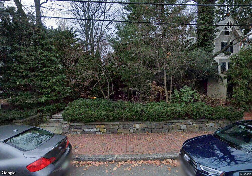
21 Buckingham St Cambridge, MA 02138
West Cambridge NeighborhoodEstimated Value: $3,619,171 - $4,462,000
6
Beds
4
Baths
3,056
Sq Ft
$1,348/Sq Ft
Est. Value
About This Home
This home is located at 21 Buckingham St, Cambridge, MA 02138 and is currently estimated at $4,119,793, approximately $1,348 per square foot. 21 Buckingham St is a home located in Middlesex County with nearby schools including St Peter School, Cambridge Montessori School, and Cambridge Friends School.
Ownership History
Date
Name
Owned For
Owner Type
Purchase Details
Closed on
Jul 8, 2024
Sold by
Sipser Michael and Sipser Ina
Bought by
Sipser Michael and Sipser Ina
Current Estimated Value
Purchase Details
Closed on
Dec 17, 1993
Sold by
Janeway Mary P
Bought by
Sipser Michael and Sipser Ina
Create a Home Valuation Report for This Property
The Home Valuation Report is an in-depth analysis detailing your home's value as well as a comparison with similar homes in the area
Home Values in the Area
Average Home Value in this Area
Purchase History
| Date | Buyer | Sale Price | Title Company |
|---|---|---|---|
| Sipser Michael | -- | None Available | |
| Sipser Michael | -- | None Available | |
| Sipser Michael | $725,000 | -- | |
| Sipser Michael | $725,000 | -- |
Source: Public Records
Mortgage History
| Date | Status | Borrower | Loan Amount |
|---|---|---|---|
| Previous Owner | Sipser Michael | $594,000 | |
| Previous Owner | Sipser Michael | $600,000 | |
| Previous Owner | Sipser Michael | $575,000 |
Source: Public Records
Tax History
| Year | Tax Paid | Tax Assessment Tax Assessment Total Assessment is a certain percentage of the fair market value that is determined by local assessors to be the total taxable value of land and additions on the property. | Land | Improvement |
|---|---|---|---|---|
| 2025 | $22,934 | $3,611,700 | $2,418,800 | $1,192,900 |
| 2024 | $20,965 | $3,541,400 | $2,399,400 | $1,142,000 |
| 2023 | $19,791 | $3,377,300 | $2,389,700 | $987,600 |
| 2022 | $18,472 | $3,120,200 | $2,245,800 | $874,400 |
| 2021 | $17,648 | $3,016,800 | $2,203,800 | $813,000 |
| 2020 | $16,558 | $2,879,700 | $2,109,100 | $770,600 |
| 2019 | $14,783 | $2,488,700 | $1,776,600 | $712,100 |
| 2018 | $15,249 | $2,424,400 | $1,767,500 | $656,900 |
| 2017 | $14,994 | $2,310,400 | $1,685,500 | $624,900 |
| 2016 | $14,383 | $2,057,600 | $1,457,800 | $599,800 |
| 2015 | $14,880 | $1,902,800 | $1,366,600 | $536,200 |
| 2014 | $15,579 | $1,859,100 | $1,330,200 | $528,900 |
Source: Public Records
Map
Nearby Homes
- 15 Madison St Unit 1
- 140 Huron Ave
- 4 Craigie St Unit 2
- 12 Gray Gardens W Unit 14
- 84 Garden St
- 3 Berkeley Place
- 153 Brattle St
- 119 Appleton St
- 44 Garden St
- 20 Tierney St Unit 3
- 22 Concord Ave Unit 10
- 22 Concord Ave Unit 11
- 157 Brattle St
- 14 Concord Ave Unit 624
- 58 Shepard St
- 159 Brattle St
- 46 Foster St
- 59-61 Reservoir St Unit 2
- 35 Willard St
- 172 Brattle St
- 23 Buckingham St
- 19 Buckingham St
- 25 Buckingham St
- 74 Sparks St
- 36 Healey St
- 70 Sparks St
- 50 Buckingham St
- 17 Buckingham St
- 54 Buckingham St
- 48 Buckingham St
- 60 Buckingham St
- 29 Buckingham St
- 29 Buckingham St Unit 2
- 29 Buckingham St Unit 29
- 15 Buckingham St
- 72 Sparks St
- 34 Buckingham St
- 62 Buckingham St
- 32 Healey St Unit SI FL2-ID646
- 32 Healey St Unit FL2-ID646
Your Personal Tour Guide
Ask me questions while you tour the home.