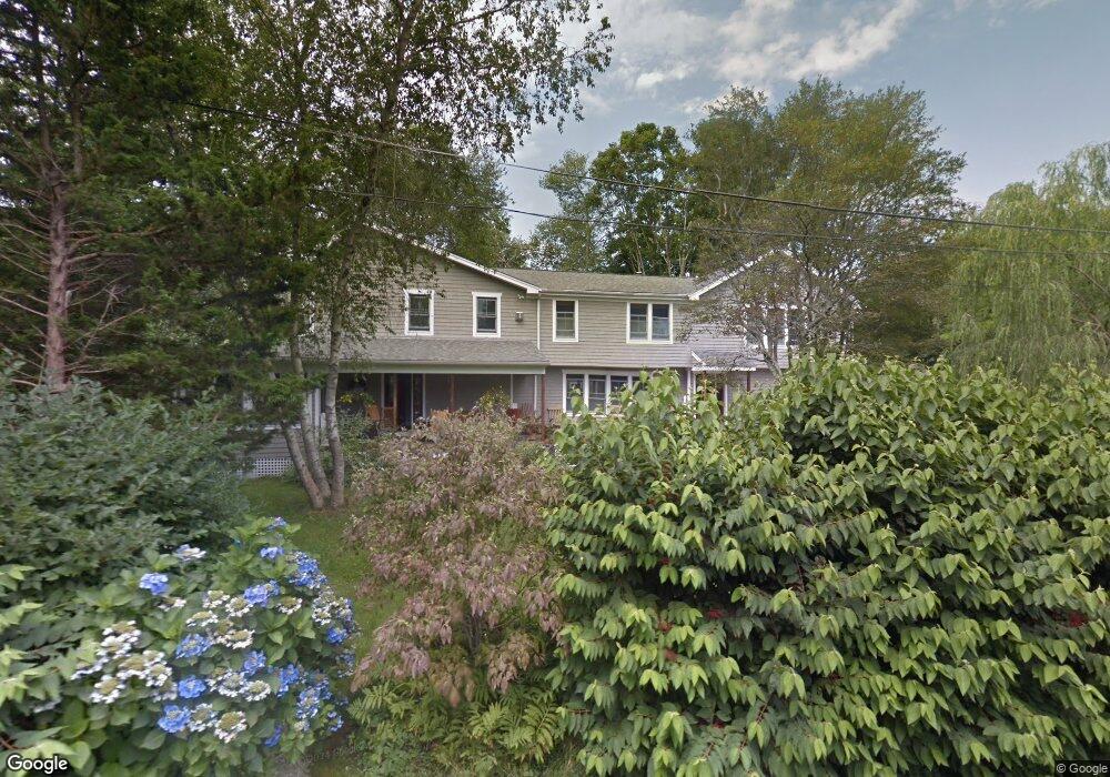
21 Buloid Ave Jamestown, RI 02835
Jamestown Village NeighborhoodEstimated Value: $1,158,000 - $1,921,000
3
Beds
3
Baths
2,748
Sq Ft
$546/Sq Ft
Est. Value
About This Home
This home is located at 21 Buloid Ave, Jamestown, RI 02835 and is currently estimated at $1,501,552, approximately $546 per square foot. 21 Buloid Ave is a home located in Newport County with nearby schools including Melrose Avenue School and Lawn Avenue School.
Ownership History
Date
Name
Owned For
Owner Type
Purchase Details
Closed on
Jan 19, 2021
Sold by
Dwyer Timothy P
Bought by
Dwyer Alyce R
Current Estimated Value
Home Financials for this Owner
Home Financials are based on the most recent Mortgage that was taken out on this home.
Original Mortgage
$707,000
Outstanding Balance
$623,891
Interest Rate
2.6%
Mortgage Type
New Conventional
Estimated Equity
$877,661
Purchase Details
Closed on
Jan 28, 2000
Sold by
Ehrmantraut Michael G and Ehrmantraut Shelley M
Bought by
Dwyer Timothy P and Dwyer Alyce R
Create a Home Valuation Report for This Property
The Home Valuation Report is an in-depth analysis detailing your home's value as well as a comparison with similar homes in the area
Home Values in the Area
Average Home Value in this Area
Purchase History
| Date | Buyer | Sale Price | Title Company |
|---|---|---|---|
| Dwyer Alyce R | -- | None Available | |
| Dwyer Timothy P | $190,000 | -- |
Source: Public Records
Mortgage History
| Date | Status | Borrower | Loan Amount |
|---|---|---|---|
| Open | Dwyer Alyce R | $707,000 | |
| Previous Owner | Dwyer Timothy P | $390,000 | |
| Previous Owner | Dwyer Timothy P | $405,000 | |
| Previous Owner | Dwyer Timothy P | $417,000 |
Source: Public Records
Tax History
| Year | Tax Paid | Tax Assessment Tax Assessment Total Assessment is a certain percentage of the fair market value that is determined by local assessors to be the total taxable value of land and additions on the property. | Land | Improvement |
|---|---|---|---|---|
| 2025 | $7,351 | $1,303,400 | $589,400 | $714,000 |
| 2024 | $7,340 | $1,023,700 | $446,800 | $576,900 |
| 2023 | $7,183 | $1,029,100 | $446,800 | $582,300 |
| 2022 | $6,988 | $1,029,100 | $446,800 | $582,300 |
| 2021 | $7,817 | $944,100 | $292,700 | $651,400 |
| 2020 | $7,619 | $944,100 | $292,700 | $651,400 |
| 2019 | $7,600 | $944,100 | $292,700 | $651,400 |
| 2018 | $6,836 | $772,400 | $246,700 | $525,700 |
| 2017 | $6,689 | $772,400 | $246,700 | $525,700 |
| 2016 | $6,627 | $772,400 | $246,700 | $525,700 |
| 2015 | $6,053 | $689,400 | $258,800 | $430,600 |
| 2014 | $6,032 | $689,400 | $258,800 | $430,600 |
Source: Public Records
Map
Nearby Homes
- 63 Longfellow Rd
- 73 Conanicus Ave Unit 4
- 46 North Rd
- 14 Clinton Ave
- 0 Walcott Ave
- 41 Walcott Ave
- 22 Cole St
- 39 Walcott Ave
- 104 Howland Ave
- 30 W Bay View Dr
- 27 Marcello Dr
- 44 Mast St
- 94 Spindrift St
- 121 Seaside Dr
- 104 Second St
- 74 Third St
- 23 Willow St
- 35 Second St
- 51 Poplar St Unit 3
- 11 Willow St Unit 5