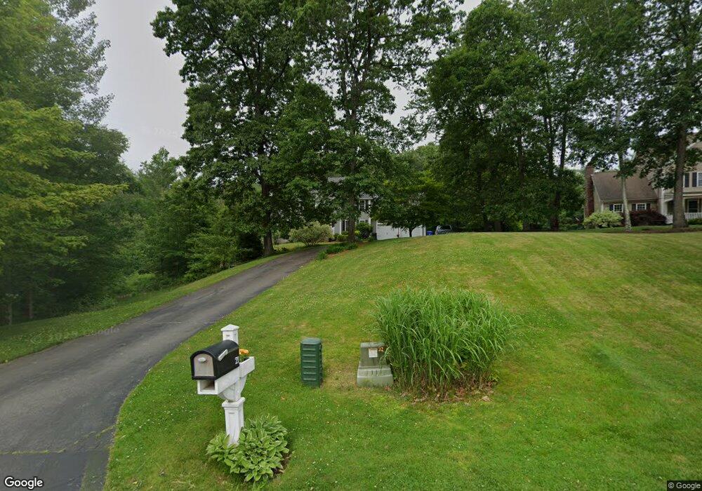
21 Bunker Hill Dr Londonderry, NH 03053
Estimated Value: $785,000 - $938,000
4
Beds
3
Baths
2,912
Sq Ft
$298/Sq Ft
Est. Value
About This Home
This home is located at 21 Bunker Hill Dr, Londonderry, NH 03053 and is currently estimated at $867,723, approximately $297 per square foot. 21 Bunker Hill Dr is a home located in Rockingham County with nearby schools including Matthew Thornton Elementary School, Londonderry Middle School, and Londonderry Senior High School.
Ownership History
Date
Name
Owned For
Owner Type
Purchase Details
Closed on
Jun 10, 2008
Sold by
Acevedo Jose M and Acevedo Belkeys V
Bought by
Harrison Bruce N and Harrison Michelle
Current Estimated Value
Home Financials for this Owner
Home Financials are based on the most recent Mortgage that was taken out on this home.
Original Mortgage
$380,000
Outstanding Balance
$244,591
Interest Rate
6.11%
Estimated Equity
$623,132
Purchase Details
Closed on
Aug 1, 2005
Sold by
Farhi Jack R
Bought by
Acevedo Jose M and Acevedo Belkys
Home Financials for this Owner
Home Financials are based on the most recent Mortgage that was taken out on this home.
Original Mortgage
$359,600
Interest Rate
5.67%
Mortgage Type
Purchase Money Mortgage
Purchase Details
Closed on
May 31, 2002
Sold by
Jmj Props Llc
Bought by
Farhi Jack R
Home Financials for this Owner
Home Financials are based on the most recent Mortgage that was taken out on this home.
Original Mortgage
$297,120
Interest Rate
7%
Create a Home Valuation Report for This Property
The Home Valuation Report is an in-depth analysis detailing your home's value as well as a comparison with similar homes in the area
Home Values in the Area
Average Home Value in this Area
Purchase History
| Date | Buyer | Sale Price | Title Company |
|---|---|---|---|
| Harrison Bruce N | $475,000 | -- | |
| Acevedo Jose M | $496,000 | -- | |
| Farhi Jack R | $371,400 | -- |
Source: Public Records
Mortgage History
| Date | Status | Borrower | Loan Amount |
|---|---|---|---|
| Open | Farhi Jack R | $380,000 | |
| Previous Owner | Farhi Jack R | $359,600 | |
| Previous Owner | Farhi Jack R | $297,120 |
Source: Public Records
Tax History Compared to Growth
Tax History
| Year | Tax Paid | Tax Assessment Tax Assessment Total Assessment is a certain percentage of the fair market value that is determined by local assessors to be the total taxable value of land and additions on the property. | Land | Improvement |
|---|---|---|---|---|
| 2024 | $11,442 | $708,900 | $248,000 | $460,900 |
| 2023 | $11,094 | $708,900 | $248,000 | $460,900 |
| 2022 | $10,146 | $549,000 | $186,300 | $362,700 |
| 2021 | $10,091 | $549,000 | $186,300 | $362,700 |
| 2020 | $10,540 | $524,100 | $149,800 | $374,300 |
| 2019 | $10,308 | $531,600 | $149,800 | $381,800 |
| 2018 | $9,679 | $444,000 | $125,900 | $318,100 |
| 2017 | $9,595 | $444,000 | $125,900 | $318,100 |
| 2016 | $9,327 | $433,800 | $125,900 | $307,900 |
| 2015 | $9,118 | $433,800 | $125,900 | $307,900 |
| 2014 | $9,149 | $433,800 | $125,900 | $307,900 |
| 2011 | -- | $446,100 | $125,900 | $320,200 |
Source: Public Records
Map
Nearby Homes
- 3 Chandler Dr
- 6 Wiley Hill Rd
- 88 High Range Rd
- 90 High Range Rd
- 10 Jason Dr
- 15 Alan Cir
- 4 Quincy Rd
- 4 Quincy Rd Unit A
- 11 Elise Ave Unit Lot 91
- 1 Delphi Way
- 1 Delphi Way Unit 10
- 5 Delphi Way
- 7 Delphi Way
- 20 Locke Mill Dr
- 224 High Range Rd
- 4 Sunset Dr Unit A
- 13 Moose Hollow Rd
- 19 Dixon Dr
- 35 Red Deer Rd
- 69 Bayberry Ln
- 23 Bunker Hill Dr
- 19 Bunker Hill Dr
- 25 Bunker Hill Dr
- 22 Bunker Hill Dr
- 17 Bunker Hill Dr
- 20 Bunker Hill Dr
- 24 Bunker Hill Dr
- 27 Bunker Hill Dr
- 18 Bunker Hill Dr
- 11 Bunker Hill Dr
- 15 Bunker Hill Dr
- 13 Bunker Hill Dr
- 24 Chandler Dr
- 1 Patriot Way
- 24 Colonial Dr
- 26 Colonial Dr
- 22 Colonial Dr
- 28 Colonial Dr
- 18 Tyler Dr
- 25 Chandler Dr