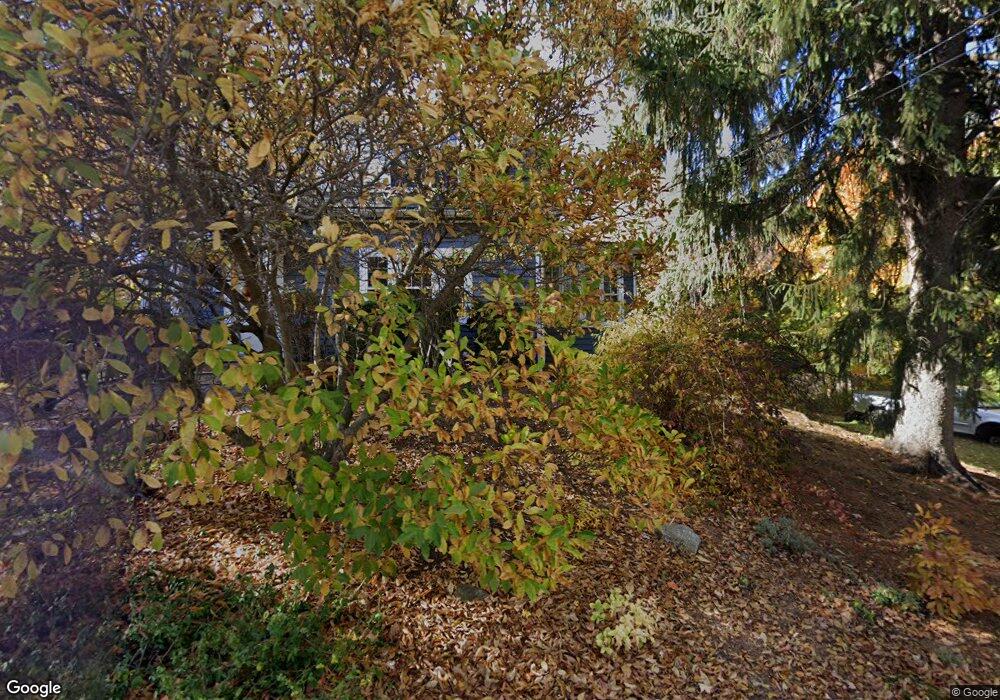
21 California St Amesbury, MA 01913
Estimated Value: $562,000 - $632,000
3
Beds
1
Bath
1,700
Sq Ft
$355/Sq Ft
Est. Value
About This Home
This home is located at 21 California St, Amesbury, MA 01913 and is currently estimated at $603,376, approximately $354 per square foot. 21 California St is a home located in Essex County with nearby schools including Amesbury High School and Amesbury Seventh-Day Adventist School.
Ownership History
Date
Name
Owned For
Owner Type
Purchase Details
Closed on
Feb 28, 2000
Sold by
Oneill Seamus and Oneill Mary D
Bought by
Spadafora Robert A and Spadafora Michelle B
Current Estimated Value
Purchase Details
Closed on
Sep 22, 1997
Sold by
Rahe Gregory F and Dube Diane E
Bought by
Oneill Seamus and Oneill Mary D
Purchase Details
Closed on
Feb 24, 1989
Sold by
Upson Stanley L
Bought by
Rahe Gregory F
Create a Home Valuation Report for This Property
The Home Valuation Report is an in-depth analysis detailing your home's value as well as a comparison with similar homes in the area
Home Values in the Area
Average Home Value in this Area
Purchase History
| Date | Buyer | Sale Price | Title Company |
|---|---|---|---|
| Spadafora Robert A | $207,000 | -- | |
| Oneill Seamus | $144,900 | -- | |
| Rahe Gregory F | $137,000 | -- |
Source: Public Records
Mortgage History
| Date | Status | Borrower | Loan Amount |
|---|---|---|---|
| Open | Rahe Gregory F | $307,000 | |
| Closed | Rahe Gregory F | $28,900 | |
| Closed | Rahe Gregory F | $250,700 |
Source: Public Records
Tax History Compared to Growth
Tax History
| Year | Tax Paid | Tax Assessment Tax Assessment Total Assessment is a certain percentage of the fair market value that is determined by local assessors to be the total taxable value of land and additions on the property. | Land | Improvement |
|---|---|---|---|---|
| 2025 | $7,428 | $485,500 | $230,500 | $255,000 |
| 2024 | $7,021 | $448,900 | $217,400 | $231,500 |
| 2023 | $6,871 | $420,500 | $189,000 | $231,500 |
| 2022 | $6,273 | $354,600 | $164,400 | $190,200 |
| 2021 | $5,982 | $327,800 | $127,200 | $200,600 |
| 2020 | $5,463 | $318,000 | $122,300 | $195,700 |
| 2019 | $5,478 | $298,200 | $122,300 | $175,900 |
| 2018 | $5,285 | $278,300 | $116,400 | $161,900 |
| 2017 | $5,087 | $255,000 | $116,400 | $138,600 |
| 2016 | $5,054 | $249,200 | $116,400 | $132,800 |
| 2015 | $4,975 | $242,200 | $116,400 | $125,800 |
| 2014 | $4,811 | $229,400 | $116,400 | $113,000 |
Source: Public Records
Map
Nearby Homes
- 105 Market St Unit B
- 103 Market St Unit A
- 103 Market St Unit B
- 101 Market St Unit B
- 101 Market St Unit A
- 25 Cedar St Unit 7
- 57 Clinton St
- 3 Glenwood St
- 7 Melrose St
- 97 Elm St
- 53 Market St
- 17 Linwood Place
- 48 Orchard St
- 3 Brown Ave Unit 75
- 1 Brown Ave Unit 3-80
- 100 Congress St
- 22 Huntington Ave
- 2 Locke Hill Ln
- 81 High St Unit 27
- 24 Aubin St Unit 2
- 19 California St
- 11 Russell St
- 13 Russell St
- 18 California St
- 20 California St
- 5 Russell St Unit 2
- 5 Russell St Unit 4
- 5 Russell St Unit 3
- 5 Russell St Unit 1
- 5 Russell St Unit 3,5
- 2 California Ln
- 129 Market St
- 15 California St
- 127 Market St
- 131 Market St
- 28 California St
- 16 California St Unit 2
- 16 California St Unit 1
- 4 California Ln
- 123 Market St