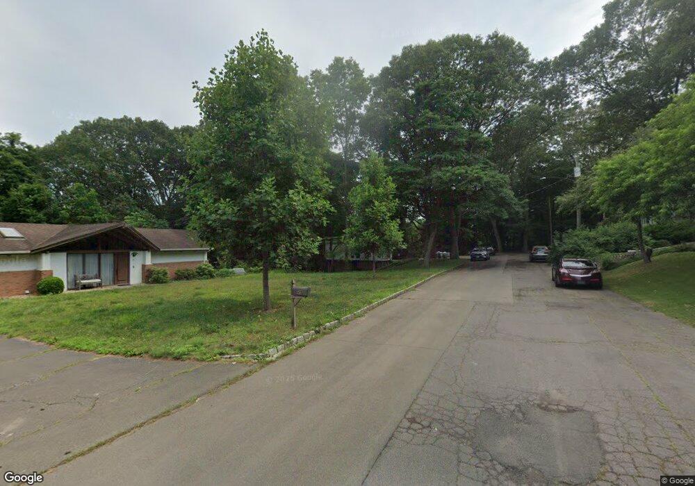
21 Carroll St New Haven, CT 06513
Fair Haven Heights NeighborhoodEstimated Value: $278,163 - $428,000
3
Beds
2
Baths
1,050
Sq Ft
$334/Sq Ft
Est. Value
About This Home
This home is located at 21 Carroll St, New Haven, CT 06513 and is currently estimated at $350,791, approximately $334 per square foot. 21 Carroll St is a home located in New Haven County with nearby schools including Ross Woodward, St Francis & St Rose Of Lima School, and All Nations Christian Academy.
Ownership History
Date
Name
Owned For
Owner Type
Purchase Details
Closed on
Nov 15, 2010
Sold by
Levinson Lawrence
Bought by
Spiegel Ori and Spiegel Debra
Current Estimated Value
Purchase Details
Closed on
Jan 11, 2005
Sold by
Andrus John E and Andrus Phillip D
Bought by
Spiegel Ori D and Spiegel Debra A
Home Financials for this Owner
Home Financials are based on the most recent Mortgage that was taken out on this home.
Original Mortgage
$160,000
Interest Rate
5.75%
Create a Home Valuation Report for This Property
The Home Valuation Report is an in-depth analysis detailing your home's value as well as a comparison with similar homes in the area
Home Values in the Area
Average Home Value in this Area
Purchase History
| Date | Buyer | Sale Price | Title Company |
|---|---|---|---|
| Spiegel Ori | -- | -- | |
| Levinson Lawrence | -- | -- | |
| Spiegel Ori D | $291,500 | -- |
Source: Public Records
Mortgage History
| Date | Status | Borrower | Loan Amount |
|---|---|---|---|
| Open | Spiegel Ori D | $175,588 | |
| Previous Owner | Spiegel Ori D | $160,000 |
Source: Public Records
Tax History Compared to Growth
Tax History
| Year | Tax Paid | Tax Assessment Tax Assessment Total Assessment is a certain percentage of the fair market value that is determined by local assessors to be the total taxable value of land and additions on the property. | Land | Improvement |
|---|---|---|---|---|
| 2025 | $4,644 | $117,880 | $35,700 | $82,180 |
| 2024 | $4,538 | $117,880 | $35,700 | $82,180 |
| 2023 | $4,385 | $117,880 | $35,700 | $82,180 |
| 2022 | $4,686 | $117,880 | $35,700 | $82,180 |
| 2021 | $4,048 | $92,260 | $22,820 | $69,440 |
| 2020 | $4,048 | $92,260 | $22,820 | $69,440 |
| 2019 | $3,965 | $92,260 | $22,820 | $69,440 |
| 2018 | $3,965 | $92,260 | $22,820 | $69,440 |
| 2017 | $3,569 | $92,260 | $22,820 | $69,440 |
| 2016 | $4,284 | $103,110 | $25,690 | $77,420 |
| 2015 | $4,284 | $103,110 | $25,690 | $77,420 |
| 2014 | $4,284 | $103,110 | $25,690 | $77,420 |
Source: Public Records
Map
Nearby Homes
- 22 Mountain Top Ln
- 265 Lexington Ave
- 314 Lenox St
- 728 Quinnipiac Ave
- 714 Quinnipiac Ave
- 674 Quinnipiac Ave
- 31 Marie St Unit B
- 533 Quinnipiac Ave
- 916 Quinnipiac Ave Unit 2
- 121 Lexington Ave Unit 21
- 926 Quinnipiac Ave Unit 1
- 926 Quinnipiac Ave Unit 8
- 932 Quinnipiac Ave Unit 5
- 95 Lenox St Unit L
- 100 Front St Unit 100
- 76 Front St Unit 76
- 36 Ralphs Ln
- 642 Bradley St
- 570 Bradley St
- 8 Front St Unit D