21 Castle Rd New Gloucester, ME 04260
Estimated Value: $238,343 - $454,000
3
Beds
1
Bath
1,200
Sq Ft
$311/Sq Ft
Est. Value
About This Home
This home is located at 21 Castle Rd, New Gloucester, ME 04260 and is currently estimated at $373,448, approximately $311 per square foot. 21 Castle Rd is a home located in Cumberland County with nearby schools including Gray-New Gloucester High School.
Create a Home Valuation Report for This Property
The Home Valuation Report is an in-depth analysis detailing your home's value as well as a comparison with similar homes in the area
Home Values in the Area
Average Home Value in this Area
Tax History Compared to Growth
Tax History
| Year | Tax Paid | Tax Assessment Tax Assessment Total Assessment is a certain percentage of the fair market value that is determined by local assessors to be the total taxable value of land and additions on the property. | Land | Improvement |
|---|---|---|---|---|
| 2025 | $1,922 | $124,217 | $95,901 | $28,316 |
| 2024 | $1,850 | $124,217 | $95,901 | $28,316 |
| 2023 | $1,775 | $124,217 | $95,901 | $28,316 |
| 2022 | $1,714 | $124,217 | $95,901 | $28,316 |
| 2021 | $1,714 | $124,217 | $95,901 | $28,316 |
| 2020 | $1,696 | $124,217 | $95,901 | $28,316 |
| 2019 | $2,150 | $127,200 | $64,600 | $62,600 |
| 2018 | $2,010 | $127,200 | $64,600 | $62,600 |
| 2017 | $1,984 | $127,200 | $64,600 | $62,600 |
| 2016 | $1,870 | $127,200 | $64,600 | $62,600 |
| 2015 | $1,863 | $127,200 | $64,600 | $62,600 |
| 2014 | $1,844 | $127,200 | $64,600 | $62,600 |
| 2013 | $1,711 | $127,200 | $64,600 | $62,600 |
Source: Public Records
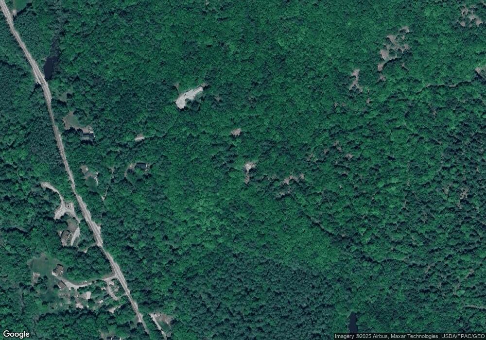
Map
Nearby Homes
- 244 Allen Rd
- 284 Allen Rd
- 026-01 Dow Ln
- 890 Elmwood Rd
- 79 Birchwood Terrace
- 0 New Gloucester Rd
- 850 Lawrence Rd
- 238 Hallowell Rd
- 395 New Gloucester Rd
- 118 Royal Rd
- 0 Mayall
- 200 Woodman Rd
- 155 & 151 Gloucester Hill Rd
- 0018-C Gloucester Hill Rd
- 36 Blackthorne Ln
- 1 Blackthorne Ln
- 160 Gloucester Hill Rd
- 99 Rangdale Rd
- 38 Blackthorne Ln
- 10 Cobbs Bridge Rd