Estimated Value: $575,177 - $623,000
3
Beds
2
Baths
1,400
Sq Ft
$425/Sq Ft
Est. Value
About This Home
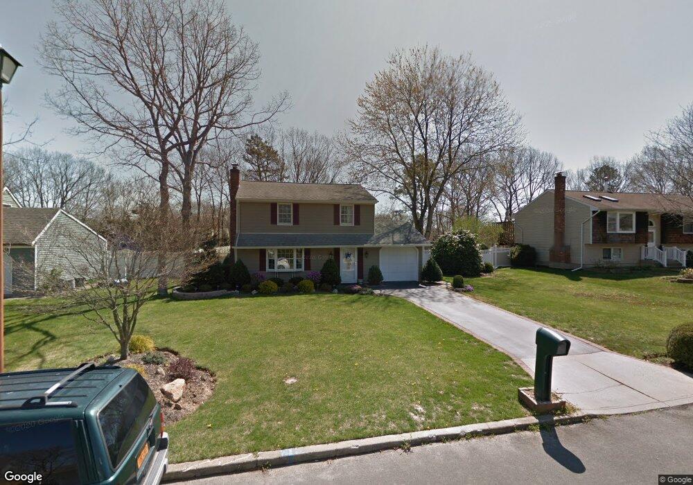
This home is located at 21 Cedar Ridge Dr, Ridge, NY 11961 and is currently estimated at $595,044, approximately $425 per square foot. 21 Cedar Ridge Dr is a home located in Suffolk County with nearby schools including Longwood Middle School, Longwood Junior High School, and Longwood Senior High School.
Ownership History
Date
Name
Owned For
Owner Type
Purchase Details
Closed on
Mar 17, 2018
Sold by
Furio Joseph M and Furio Melissa
Bought by
Conklin Mark and Conklin Robin
Current Estimated Value
Home Financials for this Owner
Home Financials are based on the most recent Mortgage that was taken out on this home.
Original Mortgage
$294,566
Outstanding Balance
$254,840
Interest Rate
5.25%
Mortgage Type
FHA
Estimated Equity
$340,204
Purchase Details
Closed on
Jan 21, 2013
Sold by
Dehn Robert C and Dehn Judith A
Bought by
Furio Joseph M and Furio Melissa
Home Financials for this Owner
Home Financials are based on the most recent Mortgage that was taken out on this home.
Original Mortgage
$225,600
Interest Rate
3.44%
Mortgage Type
New Conventional
Create a Home Valuation Report for This Property
The Home Valuation Report is an in-depth analysis detailing your home's value as well as a comparison with similar homes in the area
Home Values in the Area
Average Home Value in this Area
Purchase History
| Date | Buyer | Sale Price | Title Company |
|---|---|---|---|
| Conklin Mark | $300,000 | -- | |
| Furio Joseph M | $282,000 | Safe Harbor Title Agency Ltd |
Source: Public Records
Mortgage History
| Date | Status | Borrower | Loan Amount |
|---|---|---|---|
| Open | Conklin Mark | $294,566 | |
| Previous Owner | Furio Joseph M | $225,600 |
Source: Public Records
Tax History
| Year | Tax Paid | Tax Assessment Tax Assessment Total Assessment is a certain percentage of the fair market value that is determined by local assessors to be the total taxable value of land and additions on the property. | Land | Improvement |
|---|---|---|---|---|
| 2024 | $11,347 | $2,350 | $300 | $2,050 |
| 2023 | $11,347 | $2,350 | $300 | $2,050 |
| 2022 | $8,901 | $2,350 | $300 | $2,050 |
| 2021 | $8,901 | $2,350 | $300 | $2,050 |
| 2020 | $10,309 | $2,350 | $300 | $2,050 |
| 2019 | $10,309 | $0 | $0 | $0 |
| 2018 | $8,428 | $2,350 | $300 | $2,050 |
| 2017 | $8,428 | $2,350 | $300 | $2,050 |
| 2016 | $8,060 | $2,350 | $300 | $2,050 |
| 2015 | -- | $2,350 | $300 | $2,050 |
| 2014 | -- | $2,350 | $300 | $2,050 |
Source: Public Records
Map
Nearby Homes
- 18 Woodbrook Dr
- 41 Woodbrook Dr
- 20 Ridge Haven Dr
- 33 Highview Ln
- 145 Edinburgh Dr
- 323 Brownfield Dr
- 3 Farmhouse Dr
- 304 Kingston Ct
- 190 Edinburgh Dr
- 190 Canterbury Dr
- 160 Laurance Ln
- 206 Belfast Ln
- 9 Lilac Ln
- 8 Marc Dr
- 475 Stratford Ln
- 35 Hastings Dr
- 274 Berwick Ct Unit A
- 22B Guilford Ct Unit 22B
- 28 Francis Mooney Dr
- 0 Elizabeth Way Unit KEY803253
- 23 Cedar Ridge Dr
- 26 Woodbrook Dr
- 25 Cedar Ridge Dr
- 17 Cedar Ridge Dr
- 24 Woodbrook Dr
- 28 Woodbrook Dr
- 20 Cedar Ridge Dr
- 18 Cedar Ridge Dr
- 30 Woodbrook Dr
- 22 Woodbrook Dr
- 27 Cedar Ridge Dr
- 22 Cedar Ridge Dr
- 15 Cedar Ridge Dr
- 20 Woodbrook Dr
- 32 Woodbrook Dr
- 24 Cedar Ridge Dr
- 14 Cedar Ridge Dr
- 13 Cedar Ridge Dr
- 36 Woodbrook Dr
- 29 Cedar Ridge Dr
Your Personal Tour Guide
Ask me questions while you tour the home.