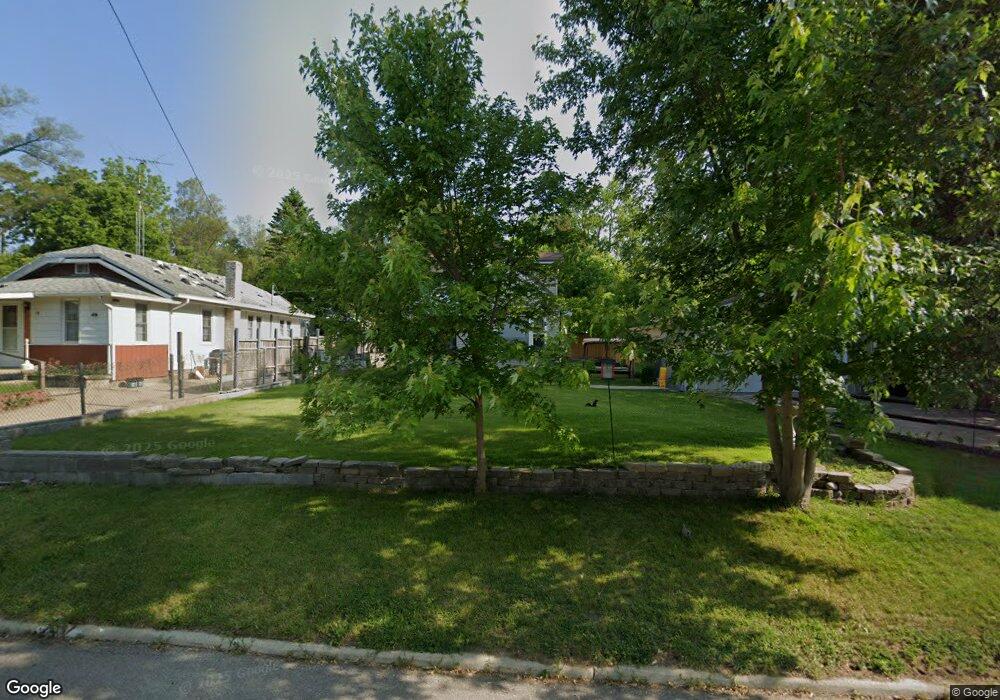
21 Charles St Battle Creek, MI 49014
Estimated Value: $74,000 - $117,000
2
Beds
1
Bath
695
Sq Ft
$146/Sq Ft
Est. Value
About This Home
This home is located at 21 Charles St, Battle Creek, MI 49014 and is currently estimated at $101,520, approximately $146 per square foot. 21 Charles St is a home located in Calhoun County with nearby schools including Harper Creek Middle School, Harper Creek High School, and St. Philip Catholic Central High School.
Ownership History
Date
Name
Owned For
Owner Type
Purchase Details
Closed on
Oct 9, 2012
Sold by
Dunmire James L and Sorell Dunmire Kelcie R
Bought by
Dunmire James L
Current Estimated Value
Purchase Details
Closed on
Jul 15, 2004
Sold by
Willavize Thomas L and Willavize Donna L
Bought by
Dumire James L
Home Financials for this Owner
Home Financials are based on the most recent Mortgage that was taken out on this home.
Original Mortgage
$55,000
Interest Rate
9.19%
Mortgage Type
Purchase Money Mortgage
Purchase Details
Closed on
Oct 20, 1995
Create a Home Valuation Report for This Property
The Home Valuation Report is an in-depth analysis detailing your home's value as well as a comparison with similar homes in the area
Home Values in the Area
Average Home Value in this Area
Purchase History
| Date | Buyer | Sale Price | Title Company |
|---|---|---|---|
| Dunmire James L | -- | None Available | |
| Dumire James L | $20,000 | Devon Title | |
| -- | $20,000 | -- |
Source: Public Records
Mortgage History
| Date | Status | Borrower | Loan Amount |
|---|---|---|---|
| Previous Owner | Dumire James L | $55,000 |
Source: Public Records
Tax History Compared to Growth
Tax History
| Year | Tax Paid | Tax Assessment Tax Assessment Total Assessment is a certain percentage of the fair market value that is determined by local assessors to be the total taxable value of land and additions on the property. | Land | Improvement |
|---|---|---|---|---|
| 2025 | $596 | $37,180 | $0 | $0 |
| 2024 | $347 | $35,250 | $0 | $0 |
| 2023 | $533 | $32,240 | $0 | $0 |
| 2022 | $315 | $22,200 | $0 | $0 |
| 2021 | $509 | $16,700 | $0 | $0 |
| 2020 | $519 | $16,300 | $0 | $0 |
| 2019 | $0 | $16,300 | $0 | $0 |
| 2018 | $0 | $15,900 | $1,200 | $14,700 |
| 2017 | $446 | $15,300 | $0 | $0 |
| 2016 | $446 | $14,900 | $0 | $0 |
| 2015 | $215 | $8,700 | $1,638 | $7,062 |
| 2014 | $215 | $8,800 | $1,638 | $7,162 |
Source: Public Records
Map
Nearby Homes
- 0 Rook St Unit 25019652
- 23 Bradford St
- 138 Rook St
- 79 Clark St
- 255 Livingston St
- 131 Academy St
- 140 Princeton St S
- 222 Lathrop Ave
- 507 Michigan Ave E
- 501 Michigan Ave E
- 232 Cliff St
- 116 Inn Rd
- 85 East Ave S
- 118 Nelson St
- 174 Lathrop Ave
- 155 Post Ave
- 0 E River Rd
- 45 Traverse St
- 17 Wren St
- 28 East Ave S