21 Crossover Rd Conway, NH 03818
Estimated Value: $506,000 - $709,000
3
Beds
2
Baths
2,573
Sq Ft
$234/Sq Ft
Est. Value
About This Home
This home is located at 21 Crossover Rd, Conway, NH 03818 and is currently estimated at $601,774, approximately $233 per square foot. 21 Crossover Rd is a home with nearby schools including Robert Frost Charter School.
Ownership History
Date
Name
Owned For
Owner Type
Purchase Details
Closed on
Aug 21, 2006
Sold by
Hurteau Jonathan A
Bought by
Hurteau Jonathan A
Current Estimated Value
Home Financials for this Owner
Home Financials are based on the most recent Mortgage that was taken out on this home.
Original Mortgage
$189,000
Interest Rate
6.88%
Mortgage Type
Purchase Money Mortgage
Purchase Details
Closed on
Nov 19, 2004
Sold by
Young Donna C
Bought by
Hurteau Jonathan A
Home Financials for this Owner
Home Financials are based on the most recent Mortgage that was taken out on this home.
Original Mortgage
$184,900
Interest Rate
5.8%
Mortgage Type
Purchase Money Mortgage
Create a Home Valuation Report for This Property
The Home Valuation Report is an in-depth analysis detailing your home's value as well as a comparison with similar homes in the area
Home Values in the Area
Average Home Value in this Area
Purchase History
| Date | Buyer | Sale Price | Title Company |
|---|---|---|---|
| Hurteau Jonathan A | $82,500 | -- | |
| Hurteau Jonathan A | $184,900 | -- |
Source: Public Records
Mortgage History
| Date | Status | Borrower | Loan Amount |
|---|---|---|---|
| Open | Hurteau Jonathan A | $172,000 | |
| Closed | Hurteau Jonathan A | $189,000 | |
| Previous Owner | Hurteau Jonathan A | $184,900 |
Source: Public Records
Tax History Compared to Growth
Tax History
| Year | Tax Paid | Tax Assessment Tax Assessment Total Assessment is a certain percentage of the fair market value that is determined by local assessors to be the total taxable value of land and additions on the property. | Land | Improvement |
|---|---|---|---|---|
| 2024 | $2,610 | $285,600 | $48,600 | $237,000 |
| 2023 | $2,879 | $285,600 | $48,600 | $237,000 |
| 2022 | $3,113 | $285,600 | $48,600 | $237,000 |
| 2021 | $3,541 | $285,600 | $48,600 | $237,000 |
| 2020 | $3,441 | $285,600 | $48,600 | $237,000 |
| 2019 | $3,611 | $258,500 | $39,500 | $219,000 |
| 2018 | $3,399 | $228,900 | $37,900 | $191,000 |
| 2017 | $3,873 | $228,900 | $37,900 | $191,000 |
| 2016 | $2,861 | $228,900 | $37,900 | $191,000 |
| 2015 | $2,690 | $228,900 | $37,900 | $191,000 |
| 2014 | $2,895 | $226,700 | $37,900 | $188,800 |
| 2013 | $2,700 | $226,700 | $37,900 | $188,800 |
Source: Public Records
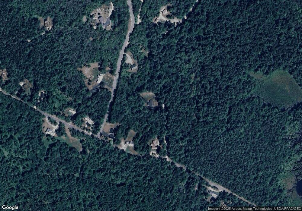
Map
Nearby Homes
- 00 Moat View Dr Unit 167
- 00 Moat View Dr Unit 166
- 00 Grandview Rd Unit 2
- 459 Grandview Rd
- 319 Grandview Rd
- 64 Grandview Rd
- 68 Grandview Rd
- 177 Holly Ridge Ln
- 123 Oxbow Ln
- 106 Fairview Ave
- 40 Butternut Ln
- 115 Swift Valley Rd
- 65 Westwind Dr
- 7 Wildwood Rd
- 78 B St
- 0 W Side Rd Unit 54 5049810
- 6 Main St
- 20 Washington St
- 9 E Side Rd
- lots42,43,44,49 G St
- 72 Crossover Rd
- 1436 Passaconaway Rd
- 1424 Passaconaway Rd
- 34 Red Eagle St
- 4 Red Eagle St
- 19 Red Eagle St
- 1454 Passaconaway Rd
- 63 Red Eagle St
- 1460 Passaconaway Rd
- 1474 Passaconaway Rd
- 1407 Passaconaway Rd
- 45 Red Eagle St
- 46 Red Eagle St
- 1399 Passaconaway Rd
- 1309 Kancamagus Hwy
- 1484 Passaconaway Rd
- 1490 Passaconaway Rd
- 37 Oconnor Dr
- 37 O'Connor Dr
- 69 Crossover Rd