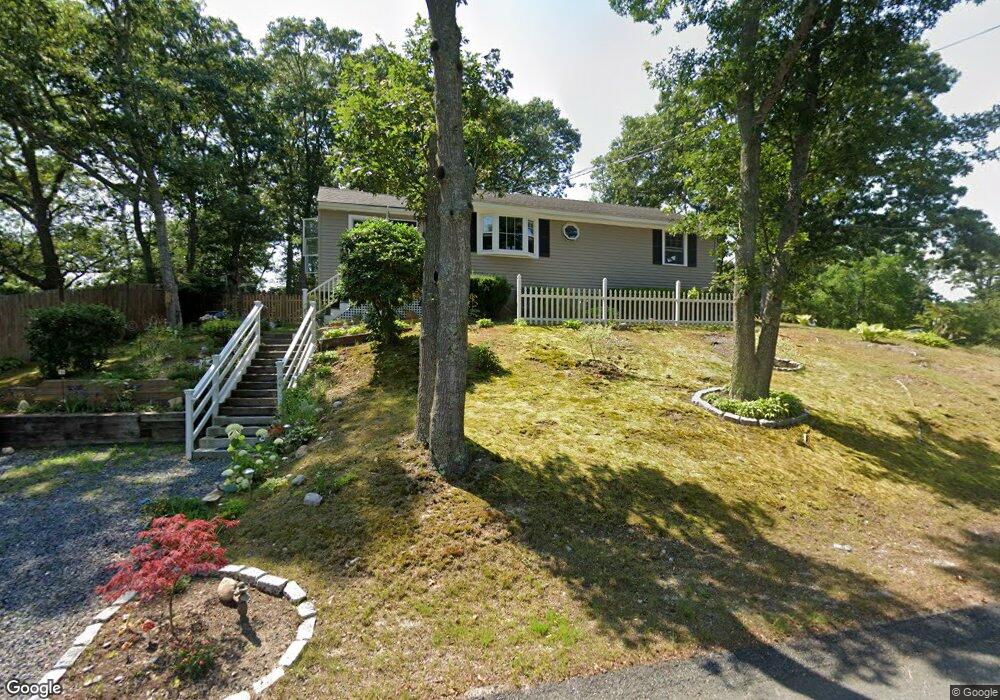
21 Crump Rd Bourne, MA 2532
Monument Beach NeighborhoodEstimated Value: $455,000 - $581,000
3
Beds
1
Bath
1,008
Sq Ft
$497/Sq Ft
Est. Value
About This Home
This home is located at 21 Crump Rd, Bourne, MA 2532 and is currently estimated at $501,148, approximately $497 per square foot. 21 Crump Rd is a home located in Barnstable County with nearby schools including Bourne High School, St Margaret Regional School, and Cadence Academy Preschool - Bourne.
Ownership History
Date
Name
Owned For
Owner Type
Purchase Details
Closed on
Aug 19, 2024
Sold by
Santos Julie
Bought by
Julie Santos Ret and Santos
Current Estimated Value
Purchase Details
Closed on
Aug 13, 2003
Sold by
Ryan Erin Ann
Bought by
Santos Julie
Home Financials for this Owner
Home Financials are based on the most recent Mortgage that was taken out on this home.
Original Mortgage
$163,500
Interest Rate
5.46%
Mortgage Type
Purchase Money Mortgage
Create a Home Valuation Report for This Property
The Home Valuation Report is an in-depth analysis detailing your home's value as well as a comparison with similar homes in the area
Home Values in the Area
Average Home Value in this Area
Purchase History
| Date | Buyer | Sale Price | Title Company |
|---|---|---|---|
| Julie Santos Ret | -- | None Available | |
| Julie Santos Ret | -- | None Available | |
| Julie Santos Ret | -- | None Available | |
| Santos Julie | $218,000 | -- | |
| Santos Julie | $218,000 | -- |
Source: Public Records
Mortgage History
| Date | Status | Borrower | Loan Amount |
|---|---|---|---|
| Previous Owner | Santos Julie | $163,500 | |
| Previous Owner | Santos Julie | $43,600 | |
| Previous Owner | Santos Julie | $10,000 |
Source: Public Records
Tax History Compared to Growth
Tax History
| Year | Tax Paid | Tax Assessment Tax Assessment Total Assessment is a certain percentage of the fair market value that is determined by local assessors to be the total taxable value of land and additions on the property. | Land | Improvement |
|---|---|---|---|---|
| 2025 | $2,973 | $380,700 | $177,000 | $203,700 |
| 2024 | $2,907 | $362,500 | $168,500 | $194,000 |
| 2023 | $2,827 | $320,900 | $149,200 | $171,700 |
| 2022 | $2,609 | $258,600 | $132,000 | $126,600 |
| 2021 | $0 | $236,900 | $120,100 | $116,800 |
| 2020 | $2,351 | $226,000 | $119,000 | $107,000 |
| 2019 | $2,312 | $220,000 | $119,000 | $101,000 |
| 2018 | $2,167 | $205,600 | $113,300 | $92,300 |
| 2017 | $1,944 | $188,700 | $106,700 | $82,000 |
| 2016 | $1,901 | $187,100 | $106,700 | $80,400 |
| 2015 | $1,770 | $175,800 | $95,400 | $80,400 |
Source: Public Records
Map
Nearby Homes
- 18 Carlton Rd
- 203 County Rd
- 12 Beachwood Rd
- 18 Quaker Ln
- 13 Laurel Hill Ct
- 105 Clay Pond Rd
- 16 Amberwood Ct
- 34 Turnberry Rd
- 12 Turnberry Rd Unit 12
- 18 Douglas Ave
- 112 Clay Pond Rd
- 30 Howard Ave
- 26 Carnoustie Rd
- 5 Sea Knoll Ct
- 440 County Rd
- 4 Hollyhock Knoll Ct Unit 4
- 4 Hollyhock Knoll Ct Unit 4
- 1 Hollyhock Knoll Ct Unit 1
- 93 Valley Bars Rd