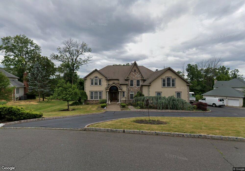
21 Deer Path Cir Green Brook, NJ 08812
Estimated Value: $1,193,000 - $1,278,000
--
Bed
--
Bath
4,093
Sq Ft
$302/Sq Ft
Est. Value
About This Home
This home is located at 21 Deer Path Cir, Green Brook, NJ 08812 and is currently estimated at $1,236,189, approximately $302 per square foot. 21 Deer Path Cir is a home located in Somerset County with nearby schools including Irene E. Feldkirchner Elementary School, Green Brook Middle School, and Watchung Hills Regional High School.
Ownership History
Date
Name
Owned For
Owner Type
Purchase Details
Closed on
Oct 8, 1998
Sold by
Marotta Antonia
Bought by
Villani Joe and Villani Carol
Current Estimated Value
Purchase Details
Closed on
Jul 26, 1991
Sold by
Loffredo Anthony and Loffredo Joanne
Bought by
Marotta Antonia S
Create a Home Valuation Report for This Property
The Home Valuation Report is an in-depth analysis detailing your home's value as well as a comparison with similar homes in the area
Home Values in the Area
Average Home Value in this Area
Purchase History
| Date | Buyer | Sale Price | Title Company |
|---|---|---|---|
| Villani Joe | $150,000 | -- | |
| Marotta Antonia S | $163,000 | -- |
Source: Public Records
Tax History Compared to Growth
Tax History
| Year | Tax Paid | Tax Assessment Tax Assessment Total Assessment is a certain percentage of the fair market value that is determined by local assessors to be the total taxable value of land and additions on the property. | Land | Improvement |
|---|---|---|---|---|
| 2025 | $19,554 | $1,151,400 | $326,800 | $824,600 |
| 2024 | $19,554 | $883,200 | $352,900 | $530,300 |
| 2023 | $20,990 | $912,600 | $352,900 | $559,700 |
| 2022 | $23,909 | $1,016,100 | $352,900 | $663,200 |
| 2021 | $21,634 | $904,100 | $352,900 | $551,200 |
| 2020 | $21,666 | $826,300 | $352,900 | $473,400 |
| 2019 | $21,634 | $828,900 | $352,900 | $476,000 |
| 2018 | $21,561 | $831,500 | $352,900 | $478,600 |
| 2017 | $21,147 | $834,200 | $352,900 | $481,300 |
| 2016 | $20,878 | $836,800 | $352,900 | $483,900 |
| 2015 | $22,275 | $874,900 | $386,200 | $488,700 |
| 2014 | $22,663 | $889,800 | $386,200 | $503,600 |
Source: Public Records
Map
Nearby Homes
- 89 Rock Rd W
- 18 Wildwood Terrace
- 302 Tiffany Way Unit 302
- 1121 N Washington Ave
- 3 Tanglewood Ln
- 165 Rock Rd W
- 9 Apple Tree Ln
- 1300 Rock Ave Unit 4
- 1300 Rock Ave Unit 6
- 1300 Rock Ave Unit C4
- 1300 Rock Ave Unit D6
- 4 Hemlock Cir
- 182 Rock Rd W
- 39 Old Stirling Rd
- 55 Sycamore Way
- 668 Warfield Rd
- 205 School St
- 13 Greenbrier Rd
- 202 Gold St
- 640 Warfield Rd
- 1 Pheasant Run
- 19 Deer Path Cir
- 20 Deer Path Cir
- 17 Deer Path Cir
- 24 Deer Path Cir
- 4 Pheasant Run
- 2 Pheasant Run
- 5 Pheasant Run
- 16 Deer Path Cir
- 15 Deer Path Cir
- 6 Pheasant Run
- 28 Deer Path Cir
- 25 Deer Path Cir
- 32 Deer Path Cir
- 8 Pheasant Run
- 7 Pheasant Run
- 12 Deer Path Cir
- 27 Deer Path Cir
- 10 Pheasant Run
- 29 Deer Path Cir