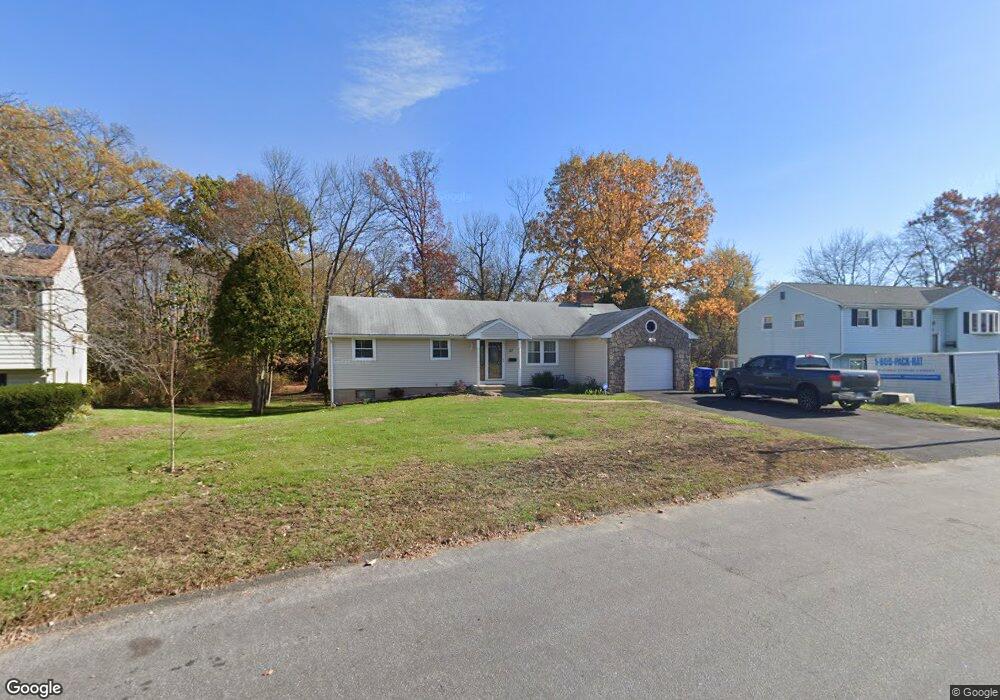
21 Diana Dr Bloomfield, CT 06002
Blue Hills NeighborhoodEstimated Value: $276,000 - $370,000
3
Beds
2
Baths
1,156
Sq Ft
$271/Sq Ft
Est. Value
About This Home
This home is located at 21 Diana Dr, Bloomfield, CT 06002 and is currently estimated at $312,885, approximately $270 per square foot. 21 Diana Dr is a home located in Hartford County with nearby schools including Poquonock Elementary School, Clover Street School, and Sage Park Middle School.
Ownership History
Date
Name
Owned For
Owner Type
Purchase Details
Closed on
Nov 28, 2017
Sold by
Bartley Zephaniah Est and Bartley
Bought by
Dixon Christopher
Current Estimated Value
Home Financials for this Owner
Home Financials are based on the most recent Mortgage that was taken out on this home.
Original Mortgage
$144,750
Outstanding Balance
$121,772
Interest Rate
3.91%
Mortgage Type
New Conventional
Estimated Equity
$191,113
Create a Home Valuation Report for This Property
The Home Valuation Report is an in-depth analysis detailing your home's value as well as a comparison with similar homes in the area
Home Values in the Area
Average Home Value in this Area
Purchase History
| Date | Buyer | Sale Price | Title Company |
|---|---|---|---|
| Dixon Christopher | $150,000 | -- | |
| Dixon Christopher | $150,000 | -- |
Source: Public Records
Mortgage History
| Date | Status | Borrower | Loan Amount |
|---|---|---|---|
| Open | Dixon Christopher | $144,750 | |
| Closed | Dixon Christopher | $144,750 | |
| Previous Owner | Dixon Christopher | $267,000 |
Source: Public Records
Tax History Compared to Growth
Tax History
| Year | Tax Paid | Tax Assessment Tax Assessment Total Assessment is a certain percentage of the fair market value that is determined by local assessors to be the total taxable value of land and additions on the property. | Land | Improvement |
|---|---|---|---|---|
| 2025 | $7,574 | $195,510 | $34,650 | $160,860 |
| 2024 | $4,711 | $116,060 | $30,800 | $85,260 |
| 2023 | $4,628 | $116,060 | $30,800 | $85,260 |
| 2022 | $4,298 | $116,060 | $30,800 | $85,260 |
| 2021 | $4,420 | $116,060 | $30,800 | $85,260 |
| 2020 | $4,353 | $116,060 | $30,800 | $85,260 |
| 2019 | $4,596 | $115,010 | $30,800 | $84,210 |
| 2018 | $3,967 | $99,120 | $30,800 | $68,320 |
| 2017 | $3,971 | $99,120 | $30,800 | $68,320 |
| 2016 | $3,881 | $99,120 | $30,800 | $68,320 |
| 2015 | $3,816 | $99,120 | $30,800 | $68,320 |
| 2014 | $4,376 | $117,180 | $39,690 | $77,490 |
Source: Public Records
Map
Nearby Homes
- 580 W Wolcott Ave
- 39 Wade Ave
- 2 Sandra Dr
- 18 Englewood Ave
- 5 Eagleton Dr
- 18 Walsh St
- 15 Kelsey Place
- 26 Kelsey Place
- 1083 Blue Hills Ave Unit G
- 31 Farmstead Cir
- 67 Elizabeth Ave
- 10 Greenbriar Dr Unit 12
- 13 Patton Rd
- 30 Harding Ave
- 12 London Rd
- 1130 Blue Hills Ave
- 747 Blue Hills Ave
- 38 Sutton Place Unit 38
- 31 Sutton Place
- 53 Hillcrest Ave