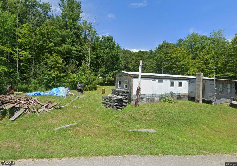
21 Dwight Cross Rd Colrain, MA 01340
Colrain NeighborhoodEstimated Value: $359,192 - $582,000
4
Beds
1
Bath
5,326
Sq Ft
$88/Sq Ft
Est. Value
About This Home
This home is located at 21 Dwight Cross Rd, Colrain, MA 01340 and is currently estimated at $470,596, approximately $88 per square foot. 21 Dwight Cross Rd is a home located in Franklin County with nearby schools including Mohawk Trail Regional High School.
Create a Home Valuation Report for This Property
The Home Valuation Report is an in-depth analysis detailing your home's value as well as a comparison with similar homes in the area
Home Values in the Area
Average Home Value in this Area
Tax History
| Year | Tax Paid | Tax Assessment Tax Assessment Total Assessment is a certain percentage of the fair market value that is determined by local assessors to be the total taxable value of land and additions on the property. | Land | Improvement |
|---|---|---|---|---|
| 2025 | $5,040 | $275,988 | $136,588 | $139,400 |
| 2024 | $5,205 | $274,235 | $136,435 | $137,800 |
| 2023 | $5,378 | $273,987 | $136,287 | $137,700 |
| 2022 | $5,181 | $252,997 | $122,797 | $130,200 |
| 2021 | $5,390 | $254,703 | $122,503 | $132,200 |
| 2020 | $5,112 | $256,503 | $122,503 | $134,000 |
| 2019 | $5,231 | $254,309 | $120,609 | $133,700 |
| 2018 | $5,120 | $252,952 | $119,752 | $133,200 |
| 2017 | $5,009 | $254,275 | $118,975 | $135,300 |
| 2016 | $4,741 | $253,775 | $116,875 | $136,900 |
| 2015 | $4,625 | $255,675 | $116,875 | $138,800 |
Source: Public Records
Map
Nearby Homes
- 8 Deer Run Path
- 0 W Oxbow Rd Unit 73453651
- 0 W Oxbow Rd Unit 248444
- 594 Massachusetts 8a
- 24 W Oxbow Rd
- 31 W Oxbow Rd
- 2155 Massachusetts 2
- 2151 Route 2
- 295 Jacksonville Rd
- 251 Phillips Hill Rd
- 1451 Massachusetts 2
- 1451 Route 2 E
- 829 Pennel Hill Rd
- 442 Mcmillan Rd
- Lot 121 Davis Mine Rd
- 10 Deerfield Ave Unit 5
- 10 Deerfield Ave Unit 2
- 2173 Vermont 8a
- 1192 Chapel Hill Rd
- 7 Hog Hollow Rd
- 16 Dwight Cross Rd
- 29 Dwight Cross Rd
- 251 Heath Rd
- 269 Heath Rd
- 45 Dwight Cross Rd
- 0 Heath Rd
- 40 Dwight Cross Rd
- 51 Dwight Cross Rd
- 00 Colrain Stage Rd
- 210 Taylor Brook Rd
- 208 Taylor Brook Rd
- 239 Colrain Stage Rd
- 207 Heath Rd
- 193 Heath Rd
- 191 Heath Rd
- 12 Thibodeau Dr
- 113 Maxam Rd
- 180 Heath Rd
- 20 Brook Hill Ln
- 11 Brook Hill Ln
Your Personal Tour Guide
Ask me questions while you tour the home.