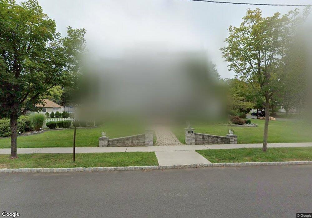
21 E Maple Ave Bound Brook, NJ 08805
Estimated Value: $622,618 - $776,000
Studio
--
Bath
2,011
Sq Ft
$336/Sq Ft
Est. Value
About This Home
This home is located at 21 E Maple Ave, Bound Brook, NJ 08805 and is currently estimated at $675,905, approximately $336 per square foot. 21 E Maple Ave is a home located in Somerset County with nearby schools including LaMonte Annex Elementary School, Lafayette Elementary School, and Bound Brook High School.
Ownership History
Date
Name
Owned For
Owner Type
Purchase Details
Closed on
Jun 12, 2002
Sold by
Fuentes Carlos
Bought by
Epps Robert and Epps Marcelyn
Current Estimated Value
Home Financials for this Owner
Home Financials are based on the most recent Mortgage that was taken out on this home.
Original Mortgage
$200,000
Outstanding Balance
$84,564
Interest Rate
6.81%
Estimated Equity
$591,341
Purchase Details
Closed on
Jun 28, 1993
Sold by
Bornheimer Donald G and Bornheimer Sharon E
Bought by
Fuentes Carlos and Fuentes Curtis,Kathleen
Create a Home Valuation Report for This Property
The Home Valuation Report is an in-depth analysis detailing your home's value as well as a comparison with similar homes in the area
Home Values in the Area
Average Home Value in this Area
Purchase History
| Date | Buyer | Sale Price | Title Company |
|---|---|---|---|
| Epps Robert | $355,000 | -- | |
| Fuentes Carlos | $229,000 | -- |
Source: Public Records
Mortgage History
| Date | Status | Borrower | Loan Amount |
|---|---|---|---|
| Open | Epps Robert | $200,000 |
Source: Public Records
Tax History
| Year | Tax Paid | Tax Assessment Tax Assessment Total Assessment is a certain percentage of the fair market value that is determined by local assessors to be the total taxable value of land and additions on the property. | Land | Improvement |
|---|---|---|---|---|
| 2025 | $12,829 | $599,300 | $231,300 | $368,000 |
| 2024 | $12,829 | $565,400 | $207,600 | $357,800 |
Source: Public Records
Map
Nearby Homes
- 520 Winsor St
- 328 John St
- 107 Chestnut St
- 306 Church St
- 589 Mountain Ave
- 650 Central Ave
- 315 East St
- 265 Metape Cir S
- 126 W High St
- 17 Talmage Ave
- 112 East St
- 730 Park Ave
- 162 Linden Ave
- 811 Mountain Ave
- 561 Marion St
- 606 Vosseller Ave
- 617 Vosseller Ave
- 303 Ashland Rd
- 261 W Main St
- 20 van Syckle Blvd
- 509 Watchung Rd
- 515 Watchung Rd
- 519 Watchung Rd
- 514 Church St
- 20 E Maple Ave
- 506 Watchung Rd
- 510 Watchung Rd
- 518 Church St
- 2 E Maple Ave
- 514 Watchung Rd
- 108 E Maple Ave
- 520 Watchung Rd
- 537 Watchung Rd
- 110 E Maple Ave
- 524 Watchung Rd
- 524 Church St
- 119 E Maple Ave
- 410 Church St
- 105 E Union Ave Unit 5
- 528 Watchung Rd
Your Personal Tour Guide
Ask me questions while you tour the home.