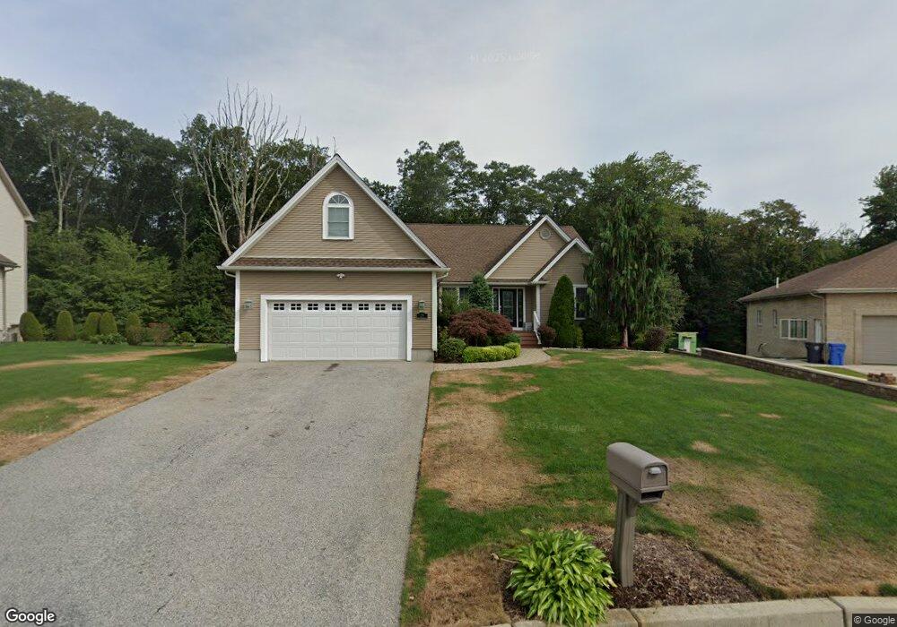
21 E Pine Rd Cranston, RI 02921
Comstock Gardens NeighborhoodEstimated Value: $749,000 - $885,000
3
Beds
3
Baths
2,166
Sq Ft
$382/Sq Ft
Est. Value
About This Home
This home is located at 21 E Pine Rd, Cranston, RI 02921 and is currently estimated at $827,535, approximately $382 per square foot. 21 E Pine Rd is a home located in Providence County with nearby schools including Orchard Farms El. School, Western Hills Middle School, and Cranston High School West.
Ownership History
Date
Name
Owned For
Owner Type
Purchase Details
Closed on
May 29, 2015
Sold by
Ferrier Edward D
Bought by
Kim Tong I and Kim Wai M
Current Estimated Value
Home Financials for this Owner
Home Financials are based on the most recent Mortgage that was taken out on this home.
Original Mortgage
$359,200
Interest Rate
3.65%
Mortgage Type
New Conventional
Create a Home Valuation Report for This Property
The Home Valuation Report is an in-depth analysis detailing your home's value as well as a comparison with similar homes in the area
Home Values in the Area
Average Home Value in this Area
Purchase History
| Date | Buyer | Sale Price | Title Company |
|---|---|---|---|
| Kim Tong I | $460,000 | -- |
Source: Public Records
Mortgage History
| Date | Status | Borrower | Loan Amount |
|---|---|---|---|
| Closed | Kim Tong I | $359,200 | |
| Previous Owner | Kim Tong I | $73,000 | |
| Previous Owner | Kim Tong I | $150,000 |
Source: Public Records
Tax History Compared to Growth
Tax History
| Year | Tax Paid | Tax Assessment Tax Assessment Total Assessment is a certain percentage of the fair market value that is determined by local assessors to be the total taxable value of land and additions on the property. | Land | Improvement |
|---|---|---|---|---|
| 2025 | $9,717 | $700,100 | $164,800 | $535,300 |
| 2024 | $9,528 | $700,100 | $164,800 | $535,300 |
| 2023 | $9,654 | $510,800 | $117,700 | $393,100 |
| 2022 | $9,455 | $510,800 | $117,700 | $393,100 |
| 2021 | $9,194 | $510,800 | $117,700 | $393,100 |
| 2020 | $9,128 | $439,500 | $137,900 | $301,600 |
| 2019 | $9,128 | $439,500 | $137,900 | $301,600 |
| 2018 | $8,917 | $439,500 | $137,900 | $301,600 |
| 2017 | $8,804 | $383,800 | $125,800 | $258,000 |
| 2016 | $9,023 | $401,900 | $125,800 | $276,100 |
| 2015 | $8,969 | $399,500 | $125,800 | $273,700 |
| 2014 | $7,925 | $347,000 | $121,700 | $225,300 |
Source: Public Records
Map
Nearby Homes
- 9 Gray Coach E
- 130 Alpine Estates Dr
- 11 Raven Cir
- 121 Ashbrook Dr
- 02 Paula Ln
- 01 Paula Ln
- 2073 Plainfield Pike
- 7 Taylor Rd
- 12 Beechwood Dr
- 53 Charcalee Dr
- 0 W Bluebird Ln
- 80 Tomahawk Trail
- 18 Quail Ridge Rd
- 10 Honey Lou Ct
- 129 Valerie Ct
- 2202 Scituate Ave
- 30 Dutchess Dr
- 20 Doreen Ct
- 191 Pippin Orchard Rd
- 0 Anthony Dr Unit 1394338
- 15 E Pine Rd
- 25 E Pine Rd
- 7 E Pine Rd
- 10 E Pine Rd
- 33 E Pine Rd
- 26 E Pine Rd
- 1405 Scituate Ave
- 100 Cranberry Terrace
- 1429 Scituate Ave
- 94 Cranberry Terrace
- 1441 Scituate Ave
- 90 Cranberry Terrace
- 110 Cranberry Terrace
- 86 Cranberry Terrace
- 99 Cranberry Terrace
- 93 Cranberry Terrace
- 107 Cranberry Terrace
- 1416 Scituate Ave
- 72 Cranberry Terrace
- 85 Cranberry Terrace