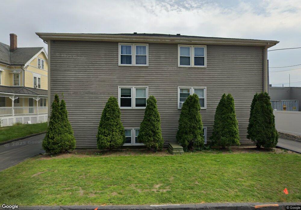
21 East St Unit 2C Mansfield, MA 02048
Estimated Value: $257,081 - $339,000
2
Beds
1
Bath
681
Sq Ft
$430/Sq Ft
Est. Value
About This Home
This home is located at 21 East St Unit 2C, Mansfield, MA 02048 and is currently estimated at $293,020, approximately $430 per square foot. 21 East St Unit 2C is a home located in Bristol County with nearby schools including Everett W. Robinson Elementary School, Jordan/Jackson Elementary School, and Harold L. Qualters Middle School.
Ownership History
Date
Name
Owned For
Owner Type
Purchase Details
Closed on
Aug 1, 2017
Sold by
Harney Eliza
Bought by
Nrhs Development Llc
Current Estimated Value
Purchase Details
Closed on
Sep 5, 2006
Sold by
South Garden Llc
Bought by
Harney Eliza
Home Financials for this Owner
Home Financials are based on the most recent Mortgage that was taken out on this home.
Original Mortgage
$145,403
Interest Rate
6.83%
Mortgage Type
Purchase Money Mortgage
Create a Home Valuation Report for This Property
The Home Valuation Report is an in-depth analysis detailing your home's value as well as a comparison with similar homes in the area
Home Values in the Area
Average Home Value in this Area
Purchase History
| Date | Buyer | Sale Price | Title Company |
|---|---|---|---|
| Nrhs Development Llc | $93,600 | -- | |
| Harney Eliza | $149,900 | -- |
Source: Public Records
Mortgage History
| Date | Status | Borrower | Loan Amount |
|---|---|---|---|
| Previous Owner | Harney Eliza | $145,403 |
Source: Public Records
Tax History Compared to Growth
Tax History
| Year | Tax Paid | Tax Assessment Tax Assessment Total Assessment is a certain percentage of the fair market value that is determined by local assessors to be the total taxable value of land and additions on the property. | Land | Improvement |
|---|---|---|---|---|
| 2025 | $2,525 | $191,700 | $0 | $191,700 |
| 2024 | $2,321 | $171,900 | $0 | $171,900 |
| 2023 | $2,143 | $152,100 | $0 | $152,100 |
| 2022 | $2,245 | $148,000 | $0 | $148,000 |
| 2021 | $2,104 | $137,000 | $0 | $137,000 |
| 2020 | $2,006 | $130,600 | $0 | $130,600 |
| 2019 | $2,011 | $132,100 | $0 | $132,100 |
| 2018 | $1,987 | $127,600 | $0 | $127,600 |
| 2017 | $1,917 | $127,600 | $0 | $127,600 |
| 2016 | $1,747 | $113,400 | $0 | $113,400 |
| 2015 | $1,629 | $105,100 | $0 | $105,100 |
Source: Public Records
Map
Nearby Homes
- 28 Court St
- 150 Rumford Ave Unit 110
- 22 Pleasant St Unit C
- 82 Brook St
- 166 Chauncy St
- 28 Angell St
- 44 Angell St Unit 44
- 277 Central St
- 414 Branch St
- 619 N Main St
- 442 Ware St
- 460 Ware St
- 631 East St Unit E203
- 356 Central St
- 12 Spring St
- 6 Erick Rd Unit 73
- 18 Columbine Rd
- 151 Stearns Ave
- 15 Reservoir St Unit 44
- 212 Mill St
- 21 East St Unit C
- 21 East St Unit 3D
- 21 East St Unit 3C
- 21 East St Unit 3B
- 21 East St Unit 3A
- 21 East St Unit 2D
- 21 East St Unit 2B
- 21 East St Unit 2A
- 21 East St Unit 1C
- 21 East St Unit 1B
- 21 East St Unit 1A
- 21 East St Unit A1
- 21 East St
- 23-25 East St Unit 6
- 23-25 East St Unit 5
- 23 East St Unit 2
- 23 East St Unit 4
- 23 East St Unit 1
- 23 East St Unit 5
- 23 East St Unit 6