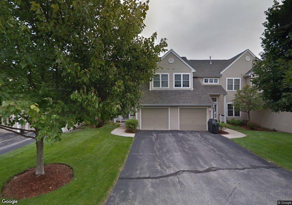
21 Edward Cir Bedford, NH 03110
Bedford NeighborhoodEstimated Value: $489,523 - $546,000
2
Beds
3
Baths
1,512
Sq Ft
$341/Sq Ft
Est. Value
About This Home
This home is located at 21 Edward Cir, Bedford, NH 03110 and is currently estimated at $516,131, approximately $341 per square foot. 21 Edward Cir is a home located in Hillsborough County with nearby schools including Mckelvie Intermediate School, Ross A. Lurgio Middle School, and Bedford High School.
Ownership History
Date
Name
Owned For
Owner Type
Purchase Details
Closed on
Jan 15, 2013
Sold by
Gigunda Group Inc
Bought by
Ryan M Fitzsimons Ret
Current Estimated Value
Purchase Details
Closed on
Apr 11, 2011
Sold by
Ryan M Fitzsimons Ret
Bought by
Gigunda Group Inc
Purchase Details
Closed on
Dec 20, 1999
Sold by
River Glen Dev Partner
Bought by
English Lisa A
Home Financials for this Owner
Home Financials are based on the most recent Mortgage that was taken out on this home.
Original Mortgage
$61,073
Interest Rate
7.81%
Create a Home Valuation Report for This Property
The Home Valuation Report is an in-depth analysis detailing your home's value as well as a comparison with similar homes in the area
Home Values in the Area
Average Home Value in this Area
Purchase History
| Date | Buyer | Sale Price | Title Company |
|---|---|---|---|
| Ryan M Fitzsimons Ret | $240,000 | -- | |
| Gigunda Group Inc | $240,000 | -- | |
| English Lisa A | $171,100 | -- |
Source: Public Records
Mortgage History
| Date | Status | Borrower | Loan Amount |
|---|---|---|---|
| Previous Owner | English Lisa A | $61,073 |
Source: Public Records
Tax History Compared to Growth
Tax History
| Year | Tax Paid | Tax Assessment Tax Assessment Total Assessment is a certain percentage of the fair market value that is determined by local assessors to be the total taxable value of land and additions on the property. | Land | Improvement |
|---|---|---|---|---|
| 2024 | $6,784 | $429,100 | $0 | $429,100 |
| 2023 | $6,351 | $429,100 | $0 | $429,100 |
| 2022 | $5,905 | $335,500 | $0 | $335,500 |
| 2021 | $5,750 | $335,500 | $0 | $335,500 |
| 2020 | $5,888 | $294,100 | $0 | $294,100 |
| 2019 | $5,573 | $294,100 | $0 | $294,100 |
| 2018 | $5,475 | $268,400 | $0 | $268,400 |
| 2017 | $5,075 | $268,400 | $0 | $268,400 |
| 2016 | $4,834 | $216,100 | $0 | $216,100 |
| 2015 | $4,918 | $216,100 | $0 | $216,100 |
| 2014 | $4,862 | $216,100 | $0 | $216,100 |
| 2013 | $4,791 | $216,100 | $0 | $216,100 |
Source: Public Records
Map
Nearby Homes
- 46 Chatham Dr
- 34 Chatham Dr
- 3670 Old Brown Ave
- 4243 Brown Ave
- 57 Sebbins Pond Dr
- 4481 Brown Ave
- 395 Brent St
- 67 Pullman St
- 19 Bow St
- 25 Bow St
- 305 Trolley St
- 153 Bow St
- 53 Pine Ave
- 5 Webster Rd
- 55 Camelot Dr
- 145 Fox St
- lot 719-1 & 2 Sheffield Rd
- 15 Kendall Ave
- 9 Mustang Dr Unit B
- 7 Mustang Dr Unit B