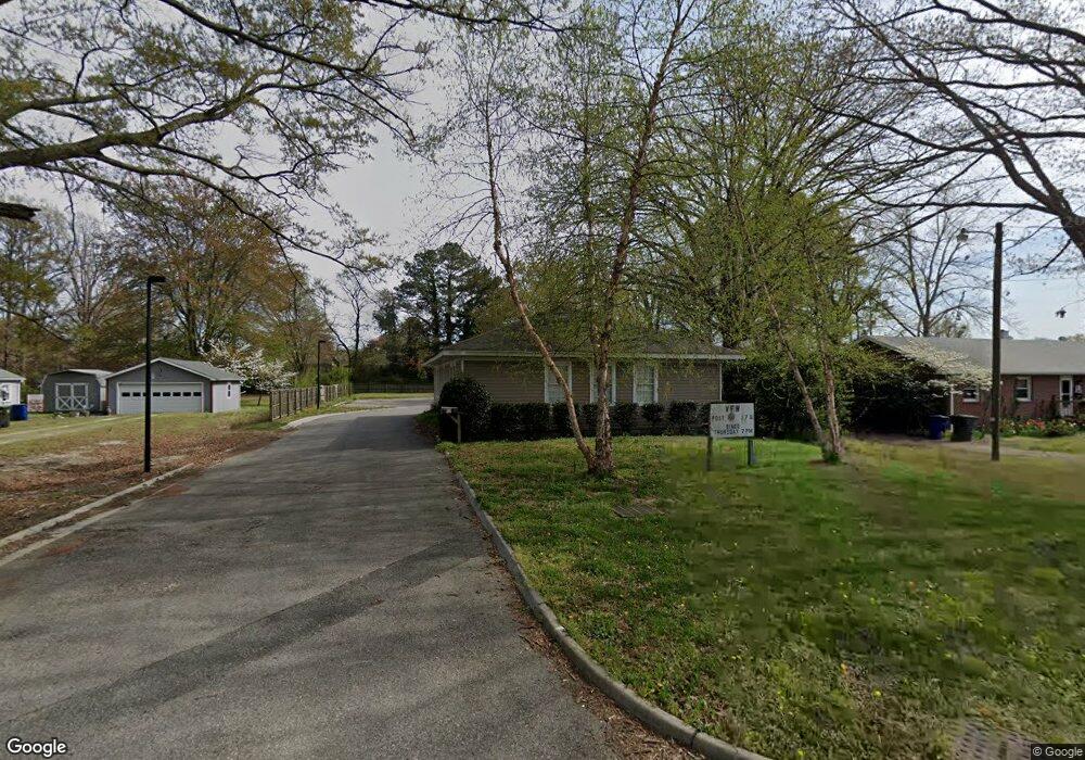
21 Forrest Dr Newport News, VA 23606
Estimated Value: $322,000 - $329,300
--
Bed
2
Baths
1,760
Sq Ft
$186/Sq Ft
Est. Value
About This Home
This home is located at 21 Forrest Dr, Newport News, VA 23606 and is currently estimated at $327,325, approximately $185 per square foot. 21 Forrest Dr is a home located in Newport News City with nearby schools including Joseph H. Saunders Elementary School, Homer L. Hines Middle School, and Warwick High School.
Ownership History
Date
Name
Owned For
Owner Type
Purchase Details
Closed on
Aug 24, 2007
Sold by
Williams Stephen J
Bought by
Anderhold Prop Llc
Current Estimated Value
Purchase Details
Closed on
Feb 17, 2006
Sold by
Algoe Theodore B
Bought by
Williams Stephen J
Home Financials for this Owner
Home Financials are based on the most recent Mortgage that was taken out on this home.
Original Mortgage
$134,838
Interest Rate
6.5%
Mortgage Type
VA
Purchase Details
Closed on
Mar 10, 2004
Sold by
Davis Carma Lee R
Bought by
Algoe Theodore B
Home Financials for this Owner
Home Financials are based on the most recent Mortgage that was taken out on this home.
Original Mortgage
$112,420
Interest Rate
5.71%
Mortgage Type
VA
Create a Home Valuation Report for This Property
The Home Valuation Report is an in-depth analysis detailing your home's value as well as a comparison with similar homes in the area
Home Values in the Area
Average Home Value in this Area
Purchase History
| Date | Buyer | Sale Price | Title Company |
|---|---|---|---|
| Anderhold Prop Llc | $205,000 | -- | |
| Williams Stephen J | $132,000 | -- | |
| Algoe Theodore B | $110,000 | -- |
Source: Public Records
Mortgage History
| Date | Status | Borrower | Loan Amount |
|---|---|---|---|
| Previous Owner | Williams Stephen J | $134,838 | |
| Previous Owner | Williams Stephen J | $134,838 | |
| Previous Owner | Algoe Theodore B | $112,420 |
Source: Public Records
Tax History Compared to Growth
Tax History
| Year | Tax Paid | Tax Assessment Tax Assessment Total Assessment is a certain percentage of the fair market value that is determined by local assessors to be the total taxable value of land and additions on the property. | Land | Improvement |
|---|---|---|---|---|
| 2024 | $309 | $301,900 | $65,000 | $236,900 |
| 2023 | $309 | $280,400 | $65,000 | $215,400 |
| 2022 | $309 | $260,800 | $65,000 | $195,800 |
| 2021 | $309 | $235,400 | $90,200 | $145,200 |
| 2020 | $309 | $226,600 | $90,200 | $136,400 |
| 2019 | $299 | $225,800 | $90,200 | $135,600 |
| 2018 | $292 | $225,800 | $56,000 | $169,800 |
| 2017 | $292 | $225,800 | $56,000 | $169,800 |
| 2016 | $284 | $0 | $0 | $0 |
| 2015 | $271 | $0 | $0 | $0 |
| 2014 | $2,465 | $225,800 | $56,000 | $169,800 |
Source: Public Records
Map
Nearby Homes
- 135 Wreck Shoal Dr
- 26 Rugby Rd
- 106 Deep Water Cove
- 101 Nantucket Place
- 103 Nantucket Place
- 332 Nantucket Place
- 707 Lance Dr
- 601 Beacon Ct
- 369 Emily Dickinson S
- 670 Town Center Dr Unit 406
- 670 Town Center Dr
- 670 Town Center Dr Unit 418
- 26 Groome Rd
- 318 Walt Whitman Ave
- 296 Walt Whitman Ave
- 286 Walt Whitman Ave
- 13 Huber Rd
- 57 Huber Rd
- 59 Huber Rd
- 230 Nat Turner Blvd S Unit 4003