21 Freedom Cir Pembroke, MA 02359
Estimated Value: $491,000 - $625,000
2
Beds
2
Baths
1,500
Sq Ft
$373/Sq Ft
Est. Value
About This Home
This home is located at 21 Freedom Cir, Pembroke, MA 02359 and is currently estimated at $559,085, approximately $372 per square foot. 21 Freedom Cir is a home located in Plymouth County with nearby schools including Pembroke High School and Cardinal Cushing Centers.
Ownership History
Date
Name
Owned For
Owner Type
Purchase Details
Closed on
Oct 9, 2009
Sold by
Center Commons Llc and Wheeler James F
Bought by
Chew Thomas I and Chew Linda C
Current Estimated Value
Home Financials for this Owner
Home Financials are based on the most recent Mortgage that was taken out on this home.
Original Mortgage
$228,000
Interest Rate
5.14%
Mortgage Type
Purchase Money Mortgage
Create a Home Valuation Report for This Property
The Home Valuation Report is an in-depth analysis detailing your home's value as well as a comparison with similar homes in the area
Home Values in the Area
Average Home Value in this Area
Purchase History
| Date | Buyer | Sale Price | Title Company |
|---|---|---|---|
| Chew Thomas I | $285,000 | -- |
Source: Public Records
Mortgage History
| Date | Status | Borrower | Loan Amount |
|---|---|---|---|
| Open | Chew Thomas I | $204,000 | |
| Closed | Chew Thomas I | $228,000 |
Source: Public Records
Tax History Compared to Growth
Tax History
| Year | Tax Paid | Tax Assessment Tax Assessment Total Assessment is a certain percentage of the fair market value that is determined by local assessors to be the total taxable value of land and additions on the property. | Land | Improvement |
|---|---|---|---|---|
| 2025 | $5,498 | $457,400 | $0 | $457,400 |
| 2024 | $5,030 | $418,100 | $0 | $418,100 |
| 2023 | $5,040 | $396,200 | $0 | $396,200 |
| 2022 | $4,885 | $345,200 | $0 | $345,200 |
| 2021 | $4,791 | $328,600 | $0 | $328,600 |
| 2020 | $4,780 | $329,900 | $0 | $329,900 |
| 2019 | $4,622 | $316,600 | $0 | $316,600 |
| 2018 | $4,451 | $298,900 | $0 | $298,900 |
| 2017 | $4,319 | $286,000 | $0 | $286,000 |
| 2016 | $3,820 | $250,300 | $0 | $250,300 |
| 2015 | $3,628 | $246,100 | $0 | $246,100 |
Source: Public Records
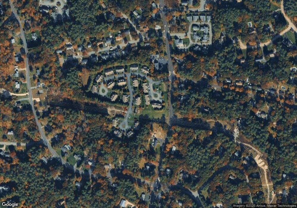
Map
Nearby Homes
- 29 Liberty Dr Unit 29
- 204 Center St Unit 9
- 53 Grove St
- 299 Center St
- 10 Warren Terrace
- 78 Old Cart Path Ln Unit Lot 3
- 72 Old Cart Path Ln Unit Lot 2
- 77 Old Cart Path Ln Unit Lot 4
- 8 Pinehurst Ave
- 18 Wampatuck St
- 22 Pondview Ave
- 10 Fir Rd
- 100 Fairwood Dr
- 290 High St
- 5 Hatch Rd
- 30 Old Washington St Unit 9
- 40 Brisan Way
- 99 Old Washington St
- 20 Edward Dr
- 34 Montclair Ave
- 19 Freedom Cir
- 17 Freedom Cir
- 15 Freedom Cir
- 17 Freedom Cir Unit 17
- 16 Patriot Way
- 14 Patriot Way
- 33 Freedom Cir
- 29 Freedom Cir
- 27 Freedom Cir
- 9 Freedom Cir
- 7 Freedom Cir
- 5 Freedom Cir
- 3 Freedom Cir
- 3 Freedom Cir Unit 3
- 8 Patriot Way
- 6 Patriot Way
- 8 Patriot Way Unit 22
- 15 Patriot Way
- 15 Patriot Way Unit 15
- 11 Liberty Dr