21 Garrison Cove Rd Bailey Island, ME 04003
Harpswell NeighborhoodEstimated Value: $827,000 - $1,233,000
3
Beds
2
Baths
1,933
Sq Ft
$550/Sq Ft
Est. Value
About This Home
This home is located at 21 Garrison Cove Rd, Bailey Island, ME 04003 and is currently estimated at $1,062,470, approximately $549 per square foot. 21 Garrison Cove Rd is a home with nearby schools including Mt Ararat High School.
Ownership History
Date
Name
Owned For
Owner Type
Purchase Details
Closed on
Nov 20, 2023
Sold by
Blanton Linda L
Bought by
Blanton Linda L and Vazquez Minerva
Current Estimated Value
Purchase Details
Closed on
Jan 3, 2006
Sold by
Blanton Phyllis F
Bought by
Blanton Linda L
Create a Home Valuation Report for This Property
The Home Valuation Report is an in-depth analysis detailing your home's value as well as a comparison with similar homes in the area
Home Values in the Area
Average Home Value in this Area
Purchase History
| Date | Buyer | Sale Price | Title Company |
|---|---|---|---|
| Blanton Linda L | -- | None Available | |
| Blanton Linda L | -- | -- |
Source: Public Records
Tax History Compared to Growth
Tax History
| Year | Tax Paid | Tax Assessment Tax Assessment Total Assessment is a certain percentage of the fair market value that is determined by local assessors to be the total taxable value of land and additions on the property. | Land | Improvement |
|---|---|---|---|---|
| 2024 | $4,215 | $662,700 | $392,400 | $270,300 |
| 2023 | $4,042 | $662,700 | $392,400 | $270,300 |
| 2022 | $3,806 | $645,000 | $392,400 | $252,600 |
| 2021 | $3,392 | $501,800 | $295,800 | $206,000 |
| 2020 | $3,382 | $501,800 | $295,800 | $206,000 |
| 2019 | $3,362 | $501,800 | $295,800 | $206,000 |
| 2018 | $3,252 | $501,800 | $295,800 | $206,000 |
| 2017 | $3,551 | $501,800 | $295,800 | $206,000 |
| 2016 | $3,212 | $501,800 | $295,800 | $206,000 |
| 2015 | $3,131 | $501,800 | $295,800 | $206,000 |
| 2013 | $2,900 | $501,800 | $295,800 | $206,000 |
Source: Public Records
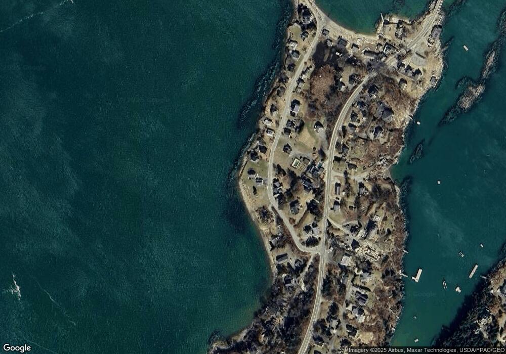
Map
Nearby Homes
- 30 Osbourne Row
- 10 Irene Ave
- 10 S Colony Branch Rd
- 87 Lowells Cove Rd
- 16 Ash Point Rd Unit 16
- 18 Ash Point Rd
- 1689 Harpswell Islands Rd
- 19 Hugh Ave
- 8 & 2 Kane Ln
- 6 Kane Ln
- 20 Spruce Ledge Rd
- 1450 Harpswell Neck Rd
- 1 Mallard Pond Rd
- 0 Bayview Rd Unit 2 1632776
- 41 Spruce Brook Dr
- Lot 2A Allen Point Rd
- Lot 2B Allen Point Rd
- Lot 129 Harpswell Neck Rd
- lot C Long Point Rd
- 205 W Cundys Point
- 25 Garrison Cove Rd
- 25 Garrison Cove Rd
- 27 Garrison Cove Rd
- 20 Garrison Cove Rd
- 36 Garrison Cove Rd
- 6 Windward Way
- 4 Windward Way
- 30 Garrison Cove Rd
- 31 Garrison Cove Rd
- 10 Broad View Ln
- 4 Broad View Ln
- 33 Garrison Cove Rd
- 1984 Harpswell Islands Rd
- 1984 Harpswell Island Rd
- 35 Garrison Cove Rd
- 8 Garrison Cove Rd
- 40 Garrison Cove Rd
- 1980 Harpswell Islands Rd
- 39 Garrison Cove Rd
- 107 Shore Rd