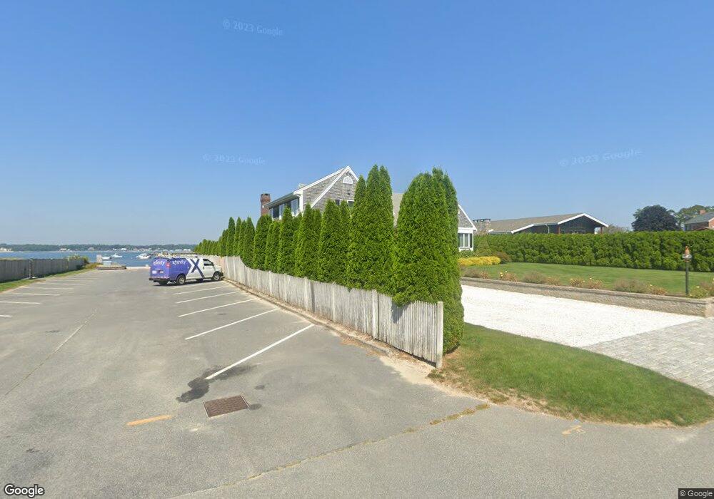
21 Gilder Rd Buzzards Bay, MA 02532
Estimated Value: $1,674,616 - $2,161,000
3
Beds
4
Baths
3,776
Sq Ft
$512/Sq Ft
Est. Value
About This Home
This home is located at 21 Gilder Rd, Buzzards Bay, MA 02532 and is currently estimated at $1,932,654, approximately $511 per square foot. 21 Gilder Rd is a home located in Barnstable County with nearby schools including Bourne High School, St Margaret Regional School, and Cadence Academy Preschool - Bourne.
Ownership History
Date
Name
Owned For
Owner Type
Purchase Details
Closed on
Sep 18, 2013
Sold by
Polymeros James N and Polymeros Suzanne E
Bought by
James N Polymeros Ft and Polymeros
Current Estimated Value
Purchase Details
Closed on
Sep 16, 2011
Sold by
Natella Anthony N and Natella Suzanne
Bought by
Polymeros James N and Polymeros Suzanne E
Home Financials for this Owner
Home Financials are based on the most recent Mortgage that was taken out on this home.
Original Mortgage
$463,000
Interest Rate
3%
Mortgage Type
Purchase Money Mortgage
Purchase Details
Closed on
Nov 5, 1999
Sold by
Leone Irene T and Leone Amedeo P
Bought by
Natella Anthony N and Natella Suzanne
Create a Home Valuation Report for This Property
The Home Valuation Report is an in-depth analysis detailing your home's value as well as a comparison with similar homes in the area
Purchase History
| Date | Buyer | Sale Price | Title Company |
|---|---|---|---|
| James N Polymeros Ft | -- | -- | |
| James N Polymeros Ft | -- | -- | |
| Polymeros James N | $975,000 | -- | |
| Polymeros James N | $975,000 | -- | |
| Natella Anthony N | $580,000 | -- | |
| Natella Anthony N | $580,000 | -- |
Source: Public Records
Mortgage History
| Date | Status | Borrower | Loan Amount |
|---|---|---|---|
| Previous Owner | Polymeros James N | $463,000 | |
| Previous Owner | Natella Anthony N | $650,000 | |
| Previous Owner | Natella Anthony N | $650,000 |
Source: Public Records
Tax History
| Year | Tax Paid | Tax Assessment Tax Assessment Total Assessment is a certain percentage of the fair market value that is determined by local assessors to be the total taxable value of land and additions on the property. | Land | Improvement |
|---|---|---|---|---|
| 2025 | $11,979 | $1,533,800 | $619,400 | $914,400 |
| 2024 | $11,132 | $1,388,000 | $589,900 | $798,100 |
| 2023 | $10,822 | $1,228,400 | $522,100 | $706,300 |
| 2022 | $10,385 | $1,029,200 | $462,000 | $567,200 |
| 2021 | $10,155 | $942,900 | $420,500 | $522,400 |
| 2020 | $10,013 | $932,300 | $416,500 | $515,800 |
| 2019 | $9,553 | $908,900 | $416,500 | $492,400 |
| 2018 | $8,878 | $842,300 | $396,700 | $445,600 |
| 2017 | $8,645 | $839,300 | $392,900 | $446,400 |
| 2016 | $8,415 | $828,200 | $392,900 | $435,300 |
| 2015 | $9,136 | $907,200 | $471,900 | $435,300 |
Source: Public Records
Map
Nearby Homes
- 35 Benedict Rd
- 60 Bourne Neck Dr
- 5 Zoli Ln
- 40-A Lafayette Ave
- 46 Holt Rd Unit B
- 46 Holt Rd
- 203 County Rd
- 4 Van Bummel Rd
- 13 Laurel Hill Ct
- 3 Fairway Dr Unit F
- 44 Cotuit Rd
- 5 Sea Knoll Ct
- 23 Alderberry Rd
- 12 Turnberry Rd Unit 12
- 36B Starboard Dr Unit 36E
- 36B Starboard Dr Unit 36G
- 36B Starboard Dr Unit 36C
- 36B Starboard Dr Unit 36A
- 36B Starboard Dr Unit 36D
- 36B Starboard Dr Unit 36B
Your Personal Tour Guide
Ask me questions while you tour the home.