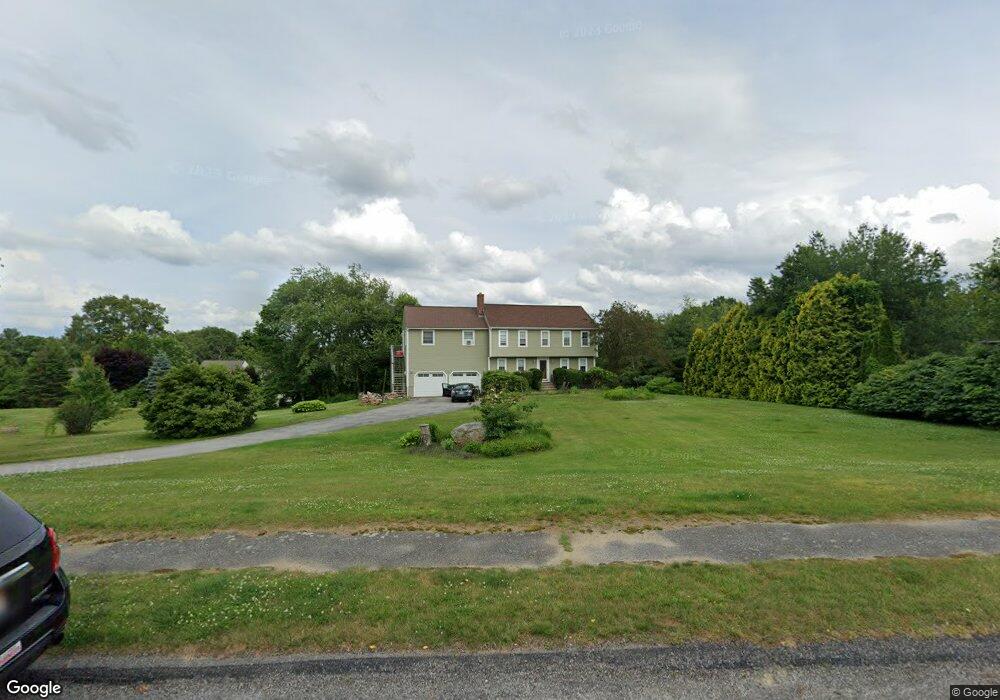
21 Hanson Rd Charlton, MA 01507
Estimated Value: $588,096 - $664,000
4
Beds
4
Baths
2,252
Sq Ft
$275/Sq Ft
Est. Value
About This Home
This home is located at 21 Hanson Rd, Charlton, MA 01507 and is currently estimated at $619,524, approximately $275 per square foot. 21 Hanson Rd is a home located in Worcester County with nearby schools including Shepherd Hill Regional High School.
Ownership History
Date
Name
Owned For
Owner Type
Purchase Details
Closed on
Oct 28, 1994
Sold by
Pierce Edward and Pierce Barbara
Bought by
Snyder John W and Snyder Monique
Current Estimated Value
Purchase Details
Closed on
May 29, 1992
Sold by
Bayrouty George L and Bayrouty Marie
Bought by
Pierce Edward and Pierce Barbara
Purchase Details
Closed on
May 3, 1988
Sold by
Carroll Hill Est
Bought by
Bayrouty George L
Create a Home Valuation Report for This Property
The Home Valuation Report is an in-depth analysis detailing your home's value as well as a comparison with similar homes in the area
Home Values in the Area
Average Home Value in this Area
Purchase History
| Date | Buyer | Sale Price | Title Company |
|---|---|---|---|
| Snyder John W | $156,000 | -- | |
| Snyder John W | $156,000 | -- | |
| Pierce Edward | $153,000 | -- | |
| Pierce Edward | $153,000 | -- | |
| Bayrouty George L | $164,900 | -- |
Source: Public Records
Mortgage History
| Date | Status | Borrower | Loan Amount |
|---|---|---|---|
| Open | Bayrouty George L | $113,000 | |
| Closed | Bayrouty George L | $30,000 |
Source: Public Records
Tax History Compared to Growth
Tax History
| Year | Tax Paid | Tax Assessment Tax Assessment Total Assessment is a certain percentage of the fair market value that is determined by local assessors to be the total taxable value of land and additions on the property. | Land | Improvement |
|---|---|---|---|---|
| 2025 | $5,850 | $525,600 | $82,700 | $442,900 |
| 2024 | $5,698 | $502,500 | $82,700 | $419,800 |
| 2023 | $5,532 | $454,600 | $79,900 | $374,700 |
| 2022 | $5,377 | $404,600 | $74,400 | $330,200 |
| 2021 | $4,980 | $331,800 | $71,700 | $260,100 |
| 2020 | $4,917 | $329,100 | $68,900 | $260,200 |
| 2019 | $4,861 | $329,100 | $68,900 | $260,200 |
| 2018 | $4,244 | $314,400 | $68,900 | $245,500 |
| 2017 | $4,124 | $292,500 | $68,900 | $223,600 |
| 2016 | $4,031 | $292,500 | $68,900 | $223,600 |
| 2015 | $3,925 | $292,500 | $68,900 | $223,600 |
| 2014 | $3,757 | $296,800 | $70,600 | $226,200 |
Source: Public Records
Map
Nearby Homes
- 40 Carroll Hill Rd
- 105 Carroll Hill Rd
- 18 Old Worcester Rd
- 7 Hycrest Rd
- 8 Hycrest Rd
- 0 Oxbow Rd
- 1 Deer Run
- 13 Boucher Dr
- 71 Bay Path Rd
- 44 Hycrest Rd
- 15 Priscilla Ln
- 39 Hycrest Rd
- 8 Northside Rd
- 5 Northside Rd
- 7 Little Muggett Rd
- 25 N Main St Unit A
- Lot 3 Smith Rd
- Lot 5 Smith Rd
- Lot 4 Smith Rd
- 27 W Applewood Dr