21 High Mowing Rd Bradford, NH 03221
Estimated Value: $420,342 - $555,000
4
Beds
2
Baths
1,620
Sq Ft
$294/Sq Ft
Est. Value
About This Home
This home is located at 21 High Mowing Rd, Bradford, NH 03221 and is currently estimated at $475,586, approximately $293 per square foot. 21 High Mowing Rd is a home with nearby schools including Sutton Central Elementary School, Kearsarge Regional Middle School, and Kearsarge Regional High School.
Ownership History
Date
Name
Owned For
Owner Type
Purchase Details
Closed on
Jun 16, 2004
Sold by
Allard Donald E
Bought by
Beale Timothy P
Current Estimated Value
Home Financials for this Owner
Home Financials are based on the most recent Mortgage that was taken out on this home.
Original Mortgage
$132,000
Interest Rate
6.12%
Mortgage Type
Purchase Money Mortgage
Purchase Details
Closed on
Oct 30, 2000
Sold by
Rowe George R
Bought by
Allard Donald E
Home Financials for this Owner
Home Financials are based on the most recent Mortgage that was taken out on this home.
Original Mortgage
$89,900
Interest Rate
7.83%
Create a Home Valuation Report for This Property
The Home Valuation Report is an in-depth analysis detailing your home's value as well as a comparison with similar homes in the area
Home Values in the Area
Average Home Value in this Area
Purchase History
| Date | Buyer | Sale Price | Title Company |
|---|---|---|---|
| Beale Timothy P | $166,000 | -- | |
| Allard Donald E | $99,900 | -- |
Source: Public Records
Mortgage History
| Date | Status | Borrower | Loan Amount |
|---|---|---|---|
| Open | Allard Donald E | $109,000 | |
| Closed | Allard Donald E | $132,000 | |
| Previous Owner | Allard Donald E | $89,900 |
Source: Public Records
Tax History Compared to Growth
Tax History
| Year | Tax Paid | Tax Assessment Tax Assessment Total Assessment is a certain percentage of the fair market value that is determined by local assessors to be the total taxable value of land and additions on the property. | Land | Improvement |
|---|---|---|---|---|
| 2024 | $5,891 | $218,680 | $110,600 | $108,080 |
| 2023 | $5,558 | $219,080 | $110,600 | $108,480 |
| 2022 | $5,293 | $219,080 | $110,600 | $108,480 |
| 2021 | $5,293 | $219,080 | $110,600 | $108,480 |
| 2020 | $5,449 | $219,080 | $110,600 | $108,480 |
| 2019 | $5,277 | $175,380 | $77,500 | $97,880 |
| 2016 | $4,611 | $170,920 | $77,500 | $93,420 |
| 2015 | $4,611 | $170,920 | $77,500 | $93,420 |
| 2014 | $4,662 | $192,740 | $77,600 | $115,140 |
| 2012 | $4,019 | $186,340 | $77,600 | $108,740 |
Source: Public Records
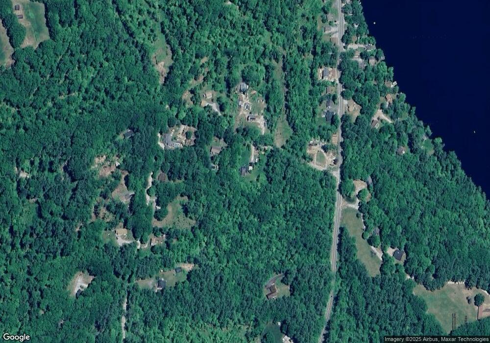
Map
Nearby Homes
- 17 Jolly Farm Rd
- 114 E Main St
- 000 Route 114 Unit 168
- 2024 Route 114
- 2400 Route 114
- 5 Greenhouse Ln
- 108 Circle View Dr
- 55 Water St
- 10 Dodge Hill Rd
- 0 Bagley Hill Rd
- 14 Meetinghouse Hill Rd
- 6 Chapin Way Unit 6
- 12 Chapin Way Unit Lot 12
- 71 Melvin Rd
- 200 South Rd
- 44 Pleasant View Rd
- 0 Roby Unit 5036005
- 45 Crittenden Rd
- 00 Fairgrounds Rd Unit 5
- 2 Gridley Rd
- 29 High Mowing Rd
- 20 High Mowing Rd
- 123 Route 114
- 102 Foothills Rd
- 100 Foothills Rd
- 28 High Mowing Rd
- 2 & 4 High Mowing Rd
- 185 New Hampshire 114
- 84 Foothills Rd
- 185 Route 114
- 189 Route 114
- 191 New Hampshire 114
- 74 Foothills Rd
- 193 New Hampshire 114
- 193 Route 114
- 101 Foothills Rd
- 87 Foothills Rd
- 149 Route 114
- 188 Route 114
- 188 Route 114