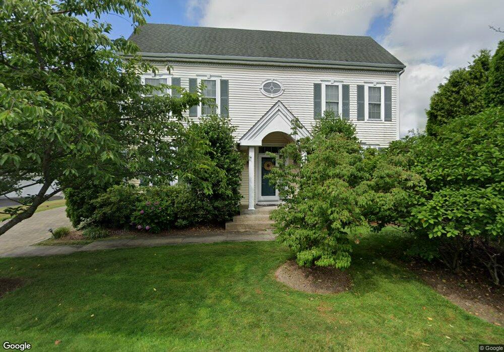
21 High Point Cir Port Chester, NY 10573
Purchase NeighborhoodEstimated Value: $1,366,000 - $1,495,000
4
Beds
4
Baths
3,742
Sq Ft
$386/Sq Ft
Est. Value
About This Home
This home is located at 21 High Point Cir, Port Chester, NY 10573 and is currently estimated at $1,445,674, approximately $386 per square foot. 21 High Point Cir is a home located in Westchester County with nearby schools including Bruno M. Ponterio Ridge Street School, Blind Brook Rye Middle School, and Blind Brook High School.
Ownership History
Date
Name
Owned For
Owner Type
Purchase Details
Closed on
Sep 24, 2010
Sold by
Kostrzewa Robert J and Kostrzewa Kathleen A
Bought by
Wong Kenneth and Mak Melanie
Current Estimated Value
Home Financials for this Owner
Home Financials are based on the most recent Mortgage that was taken out on this home.
Original Mortgage
$417,000
Interest Rate
4.37%
Mortgage Type
New Conventional
Purchase Details
Closed on
Jul 15, 2006
Sold by
Rizkallah Jihad J and Rizkallah Joanne M
Bought by
Prudential Relocation Inc
Create a Home Valuation Report for This Property
The Home Valuation Report is an in-depth analysis detailing your home's value as well as a comparison with similar homes in the area
Home Values in the Area
Average Home Value in this Area
Purchase History
| Date | Buyer | Sale Price | Title Company |
|---|---|---|---|
| Wong Kenneth | $925,000 | First American Title Ins Co | |
| Prudential Relocation Inc | $955,000 | Tristate Title Agency |
Source: Public Records
Mortgage History
| Date | Status | Borrower | Loan Amount |
|---|---|---|---|
| Closed | Wong Kenneth | $417,000 |
Source: Public Records
Tax History Compared to Growth
Tax History
| Year | Tax Paid | Tax Assessment Tax Assessment Total Assessment is a certain percentage of the fair market value that is determined by local assessors to be the total taxable value of land and additions on the property. | Land | Improvement |
|---|---|---|---|---|
| 2024 | $33,371 | $1,209,400 | $173,500 | $1,035,900 |
| 2023 | $29,984 | $1,162,900 | $165,200 | $997,700 |
| 2022 | $30,569 | $1,086,800 | $165,200 | $921,600 |
| 2021 | $30,244 | $1,045,000 | $165,200 | $879,800 |
| 2020 | $28,422 | $1,045,000 | $165,200 | $879,800 |
| 2019 | $53,075 | $1,111,000 | $146,800 | $964,200 |
| 2018 | $19,559 | $1,085,500 | $144,200 | $941,300 |
| 2017 | $4,481 | $1,048,900 | $142,900 | $906,000 |
| 2016 | $27,612 | $1,058,100 | $181,400 | $876,700 |
| 2015 | -- | $1,029,300 | $145,100 | $884,200 |
| 2014 | -- | $923,000 | $123,400 | $799,600 |
| 2013 | -- | $880,000 | $120,100 | $759,900 |
Source: Public Records
Map
Nearby Homes
- 26 Reunion Rd
- 21 Honeysuckle Ln
- 27 Lavender Ln
- 1 Primrose Ln
- 1 Element Ln
- 8 Chieftans Rd
- 15 Arrowwood Cir Unit 136
- 27 Doral Greens Dr E
- 125 Bowman Dr
- 21 Dorann Rd
- 5 Bristol Ln
- 6 Katsura Dr
- 3747 Purchase St
- 9 Lincoln Woods
- 28 Thunder Mountain Rd
- 53 Country Ridge Dr
- 1 Cedar Ln
- 122 Lincoln Ave
- 267 Riversville Rd
- 29 Beverly Rd
- 23 High Point Cir
- 19 High Point Cir
- 32 Bellefair Rd
- 30 Bellefair Rd
- 1 Parade Ln
- 25 High Point Cir
- 34 Bellefair Rd
- 17 High Point Cir
- 28 Bellefair Rd
- 26 Bellefair Rd
- 3 Parade Ln
- 38 Bellefair Rd
- 15 High Point Cir
- 27 High Point Cir
- 16 High Point Cir
- 24 Bellefair Rd
- 5 Parade Ln
- 2 Parade Ln
- 40 Bellefair Rd
- 14 High Point Cir