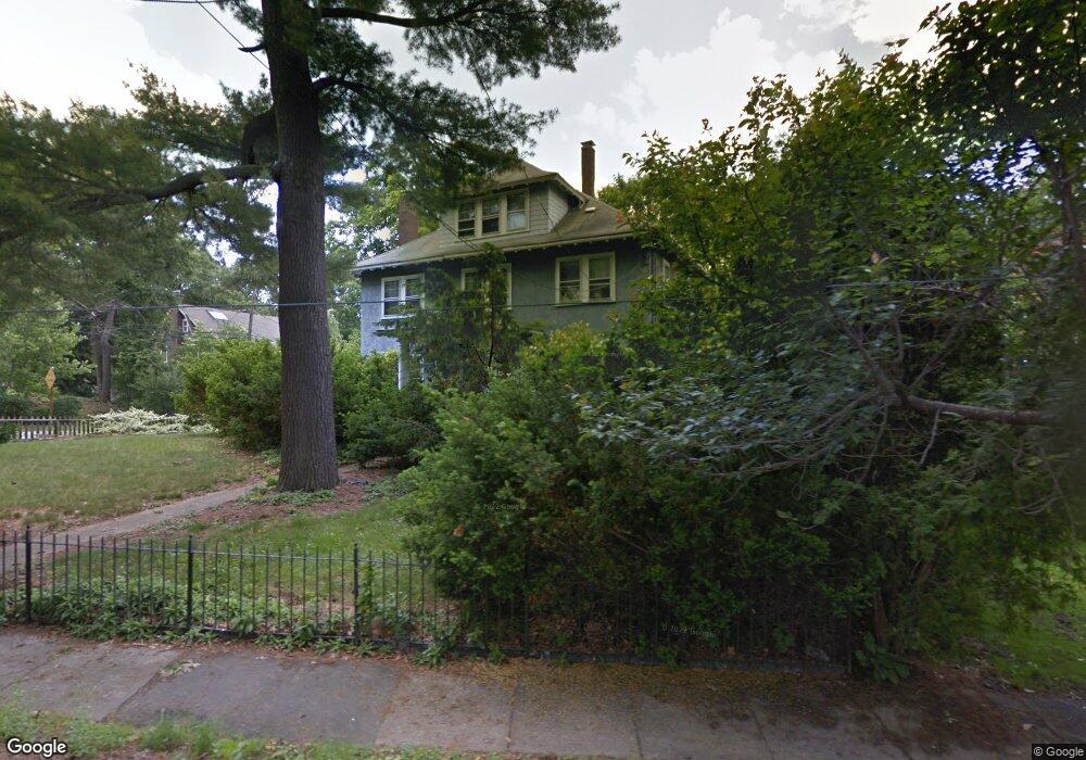
21 Hinckley Rd Milton, MA 02186
Columbine Cliffs NeighborhoodEstimated Value: $1,326,000 - $1,779,000
5
Beds
4
Baths
2,466
Sq Ft
$649/Sq Ft
Est. Value
About This Home
This home is located at 21 Hinckley Rd, Milton, MA 02186 and is currently estimated at $1,600,300, approximately $648 per square foot. 21 Hinckley Rd is a home located in Norfolk County with nearby schools including Milton High School, KIPP Academy Boston Charter School, and St. Mary of the Hills School.
Ownership History
Date
Name
Owned For
Owner Type
Purchase Details
Closed on
Aug 10, 1998
Sold by
Walker Bruce D
Bought by
Manzer Edna L
Current Estimated Value
Purchase Details
Closed on
Feb 26, 1993
Sold by
Farrington Michael F and Farrington Janet A
Bought by
Scheupp Paul W and Scheupp Linda
Purchase Details
Closed on
May 22, 1990
Sold by
Sullivan Helen T
Bought by
Cort Alice M
Create a Home Valuation Report for This Property
The Home Valuation Report is an in-depth analysis detailing your home's value as well as a comparison with similar homes in the area
Home Values in the Area
Average Home Value in this Area
Purchase History
| Date | Buyer | Sale Price | Title Company |
|---|---|---|---|
| Manzer Edna L | $378,000 | -- | |
| Scheupp Paul W | $277,000 | -- | |
| Cort Alice M | $310,000 | -- |
Source: Public Records
Mortgage History
| Date | Status | Borrower | Loan Amount |
|---|---|---|---|
| Open | Cort Alice M | $100,000 | |
| Closed | Cort Alice M | $30,000 | |
| Previous Owner | Cort Alice M | $272,000 |
Source: Public Records
Tax History Compared to Growth
Tax History
| Year | Tax Paid | Tax Assessment Tax Assessment Total Assessment is a certain percentage of the fair market value that is determined by local assessors to be the total taxable value of land and additions on the property. | Land | Improvement |
|---|---|---|---|---|
| 2025 | $15,709 | $1,416,500 | $647,300 | $769,200 |
| 2024 | $15,133 | $1,385,800 | $616,600 | $769,200 |
| 2023 | $14,396 | $1,262,800 | $587,100 | $675,700 |
| 2022 | $13,874 | $1,112,600 | $587,100 | $525,500 |
| 2021 | $13,448 | $1,024,200 | $523,700 | $500,500 |
| 2020 | $13,305 | $1,014,100 | $523,600 | $490,500 |
| 2019 | $12,977 | $984,600 | $508,400 | $476,200 |
| 2018 | $11,582 | $838,700 | $370,100 | $468,600 |
| 2017 | $10,832 | $798,800 | $352,400 | $446,400 |
| 2016 | $10,060 | $745,200 | $308,400 | $436,800 |
| 2015 | $9,633 | $691,000 | $264,300 | $426,700 |
Source: Public Records
Map
Nearby Homes
- 15 Fairfax Rd
- 214 Brook Rd
- 27 Hawthorn Rd
- 32 Columbine Rd
- 128 Blue Hills Pkwy
- 84 Blue Hills Pkwy
- 16 Blue Hill Ave
- 137 Thacher St Unit 137
- 333 Eliot St
- 15 Cantwell Rd
- 96 Houston Ave
- 96 Brook Rd
- 70 Warren Ave
- 290 Central Ave
- 1 Chilton Park
- 10 Briarcliff Terrace
- 112 Brush Hill Rd
- 48-50 Rockdale St
- 390 Central Ave
- 24 Constitution Rd
- 15 Hinckley Rd
- 46 Brandon Rd
- 41 Hinckley Rd
- 53 Brandon Rd
- 47 Brandon Rd
- 24 Hinckley Rd
- 29 Fairfax Rd
- 40-42 Brandon Rd
- 40 Brandon Rd Unit 42
- 40 Brandon Rd Unit 2
- 42 Brandon Rd
- 42 Brandon Rd Unit 2
- 30 Hinckley Rd
- 43 Hinckley Rd
- 41 Brandon Rd Unit 43
- 23 Fairfax Rd
- 36 Hinckley Rd
- 36 Brandon Rd
- 2 Hinckley Rd
- 52 Ridge Rd