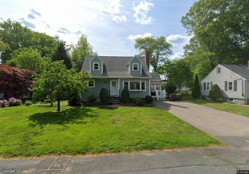
21 Intervale Rd Dedham, MA 02026
Greenlodge NeighborhoodEstimated Value: $730,000 - $788,000
4
Beds
2
Baths
1,433
Sq Ft
$530/Sq Ft
Est. Value
About This Home
This home is located at 21 Intervale Rd, Dedham, MA 02026 and is currently estimated at $760,030, approximately $530 per square foot. 21 Intervale Rd is a home located in Norfolk County with nearby schools including Greenlodge Elementary School, Dedham Middle School, and Dedham High School.
Ownership History
Date
Name
Owned For
Owner Type
Purchase Details
Closed on
Apr 30, 2010
Sold by
Swendsboe Eric D and Swendsboe Catherine E
Bought by
Sicard Maurice and Sicard Sandra
Current Estimated Value
Home Financials for this Owner
Home Financials are based on the most recent Mortgage that was taken out on this home.
Original Mortgage
$324,000
Outstanding Balance
$216,525
Interest Rate
4.99%
Mortgage Type
Purchase Money Mortgage
Estimated Equity
$543,505
Create a Home Valuation Report for This Property
The Home Valuation Report is an in-depth analysis detailing your home's value as well as a comparison with similar homes in the area
Home Values in the Area
Average Home Value in this Area
Purchase History
| Date | Buyer | Sale Price | Title Company |
|---|---|---|---|
| Sicard Maurice | $405,000 | -- |
Source: Public Records
Mortgage History
| Date | Status | Borrower | Loan Amount |
|---|---|---|---|
| Open | Sicard Maurice | $324,000 |
Source: Public Records
Tax History
| Year | Tax Paid | Tax Assessment Tax Assessment Total Assessment is a certain percentage of the fair market value that is determined by local assessors to be the total taxable value of land and additions on the property. | Land | Improvement |
|---|---|---|---|---|
| 2025 | $8,519 | $675,000 | $367,400 | $307,600 |
| 2024 | $8,385 | $670,800 | $338,100 | $332,700 |
| 2023 | $7,999 | $623,000 | $313,900 | $309,100 |
| 2022 | $7,432 | $556,700 | $287,100 | $269,600 |
| 2021 | $7,081 | $518,000 | $287,100 | $230,900 |
| 2020 | $6,912 | $503,800 | $275,000 | $228,800 |
| 2019 | $6,547 | $462,700 | $249,700 | $213,000 |
| 2018 | $6,297 | $432,800 | $225,900 | $206,900 |
| 2017 | $6,252 | $423,600 | $216,700 | $206,900 |
| 2016 | $5,951 | $384,200 | $192,500 | $191,700 |
| 2015 | $5,842 | $368,100 | $188,300 | $179,800 |
| 2014 | $5,724 | $356,000 | $188,300 | $167,700 |
Source: Public Records
Map
Nearby Homes
- 27 Intervale Rd
- 53 Winstead Ave
- 24 Intervale Rd
- 57 Winstead Ave
- 18 Intervale Rd
- 79 Ledgewood Rd
- 33 Intervale Rd
- 45 Winstead Ave
- 14 Malone St
- 1 Intervale Rd
- 73 Ledgewood Rd
- 12 Intervale Rd
- 101 Ledgewood Rd
- 67 Ledgewood Rd
- 6 Intervale Rd
- 15 Malone St
- 31 Winstead Ave
- 2 Malone St
- 46 Winstead Ave
- 54 Winstead Ave
Your Personal Tour Guide
Ask me questions while you tour the home.