21 Isaac Frye Hwy Wilton, NH 03086
Estimated Value: $535,000 - $626,000
4
Beds
2
Baths
2,256
Sq Ft
$262/Sq Ft
Est. Value
About This Home
This home is located at 21 Isaac Frye Hwy, Wilton, NH 03086 and is currently estimated at $590,333, approximately $261 per square foot. 21 Isaac Frye Hwy is a home located in Hillsborough County with nearby schools including Florence Rideout Elementary School, Wilton-Lyndeborough Cooperative Middle School, and Wilton-Lyndeborough Cooperative High School.
Ownership History
Date
Name
Owned For
Owner Type
Purchase Details
Closed on
May 23, 2014
Sold by
Vanderheyden Scott
Bought by
Viens Denis R
Current Estimated Value
Purchase Details
Closed on
Oct 9, 2001
Sold by
Shoemaker Land Assoc L
Bought by
Vander-Heyden Scott
Home Financials for this Owner
Home Financials are based on the most recent Mortgage that was taken out on this home.
Original Mortgage
$270,000
Interest Rate
6.89%
Create a Home Valuation Report for This Property
The Home Valuation Report is an in-depth analysis detailing your home's value as well as a comparison with similar homes in the area
Home Values in the Area
Average Home Value in this Area
Purchase History
| Date | Buyer | Sale Price | Title Company |
|---|---|---|---|
| Viens Denis R | $191,500 | -- | |
| Vander-Heyden Scott | $50,000 | -- |
Source: Public Records
Mortgage History
| Date | Status | Borrower | Loan Amount |
|---|---|---|---|
| Previous Owner | Vander-Heyden Scott | $85,000 | |
| Previous Owner | Vander-Heyden Scott | $270,000 |
Source: Public Records
Tax History Compared to Growth
Tax History
| Year | Tax Paid | Tax Assessment Tax Assessment Total Assessment is a certain percentage of the fair market value that is determined by local assessors to be the total taxable value of land and additions on the property. | Land | Improvement |
|---|---|---|---|---|
| 2024 | $10,610 | $426,600 | $138,900 | $287,700 |
| 2023 | $9,471 | $426,600 | $138,900 | $287,700 |
| 2022 | $8,814 | $426,600 | $138,900 | $287,700 |
| 2021 | $8,138 | $423,400 | $138,900 | $284,500 |
| 2020 | $8,441 | $287,200 | $109,000 | $178,200 |
| 2019 | $8,340 | $287,200 | $109,000 | $178,200 |
| 2018 | $8,260 | $287,200 | $109,000 | $178,200 |
| 2017 | $7,798 | $287,000 | $109,000 | $178,000 |
| 2016 | $7,560 | $287,000 | $109,000 | $178,000 |
| 2015 | $7,726 | $293,300 | $113,100 | $180,200 |
| 2014 | $7,567 | $293,300 | $113,100 | $180,200 |
| 2013 | $7,616 | $292,700 | $113,100 | $179,600 |
Source: Public Records
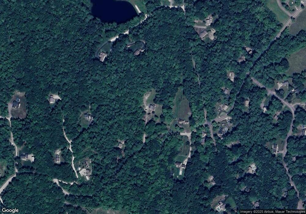
Map
Nearby Homes
- 415 Savage Rd
- Lot F-88-9 Aria Hill Dr
- F-88-10 Aria Hill Dr
- F-88-11 Aria Hill Dr
- F-88-12 Aria Hill Dr
- F-88-7 Aria Hill Dr
- 18 Richfield Way
- 30 Robbins Rd
- 294 Mason Rd
- 134 Falcon Ridge Rd Unit 23
- 8 Maple St
- 44 Burns Hill Rd
- 25 Burns Hill Rd
- 21 Ledgewood Rd
- 361 Captain Clark Hwy
- F/88-5 McGettigan Rd
- F/88-4 McGettigan Rd
- 131 Badger Hill Dr
- 43 Boxwood Cir
- 32 Larch Rd
- 10 Isaac Frye Hwy
- 5 Isaac Frye Hwy
- 5 Isaac Frye Hwy
- 8 Isaac Frye Hwy
- 3 Isaac Frye Hwy
- 26 Penny Loafer Ln
- 54 McGettigan Rd
- H 56-6 Isaac Frye Hwy
- 6 Isaac Frye Hwy
- 31 Blueberry Ln
- 34 Penny Loafer Ln
- 441 Savage Rd
- 55 McGettigan Rd
- 435 Savage Rd
- 429 Savage Rd
- 13 Blueberry Ln
- 95 McGettigan Rd
- 49 McGettigan Rd
- 430 Savage Rd
- 421 Savage Rd