21 Johnson Cartway Brewster, MA 02631
Estimated Value: $903,000 - $1,120,000
3
Beds
4
Baths
2,458
Sq Ft
$428/Sq Ft
Est. Value
About This Home
This home is located at 21 Johnson Cartway, Brewster, MA 02631 and is currently estimated at $1,052,234, approximately $428 per square foot. 21 Johnson Cartway is a home located in Barnstable County with nearby schools including Nauset Regional Middle School, Nauset Regional High School, and The Laurel School.
Ownership History
Date
Name
Owned For
Owner Type
Purchase Details
Closed on
Jul 31, 2018
Sold by
Johnson Bruce R and Johnson Nancy A
Bought by
Stevens Mathew and Stevens Jennifer L
Current Estimated Value
Home Financials for this Owner
Home Financials are based on the most recent Mortgage that was taken out on this home.
Original Mortgage
$432,390
Outstanding Balance
$376,333
Interest Rate
4.6%
Mortgage Type
VA
Estimated Equity
$675,901
Purchase Details
Closed on
Nov 5, 1984
Bought by
Johnson Bruce R and Johnson Nancy A
Create a Home Valuation Report for This Property
The Home Valuation Report is an in-depth analysis detailing your home's value as well as a comparison with similar homes in the area
Home Values in the Area
Average Home Value in this Area
Purchase History
| Date | Buyer | Sale Price | Title Company |
|---|---|---|---|
| Stevens Mathew | $456,000 | -- | |
| Johnson Bruce R | -- | -- |
Source: Public Records
Mortgage History
| Date | Status | Borrower | Loan Amount |
|---|---|---|---|
| Open | Stevens Mathew | $432,390 | |
| Previous Owner | Johnson Bruce R | $179,400 | |
| Previous Owner | Johnson Bruce R | $280,600 |
Source: Public Records
Tax History Compared to Growth
Tax History
| Year | Tax Paid | Tax Assessment Tax Assessment Total Assessment is a certain percentage of the fair market value that is determined by local assessors to be the total taxable value of land and additions on the property. | Land | Improvement |
|---|---|---|---|---|
| 2025 | $6,531 | $949,300 | $216,800 | $732,500 |
| 2024 | $6,104 | $896,400 | $204,500 | $691,900 |
| 2023 | $5,657 | $809,300 | $182,600 | $626,700 |
| 2022 | $5,314 | $676,900 | $152,100 | $524,800 |
| 2021 | $4,920 | $573,400 | $132,200 | $441,200 |
| 2020 | $4,766 | $552,900 | $132,200 | $420,700 |
| 2019 | $4,030 | $537,800 | $127,200 | $410,600 |
| 2018 | $3,874 | $522,800 | $127,200 | $395,600 |
| 2017 | $4,213 | $502,200 | $127,200 | $375,000 |
| 2016 | $4,019 | $476,700 | $124,700 | $352,000 |
| 2015 | $3,883 | $470,100 | $122,300 | $347,800 |
Source: Public Records
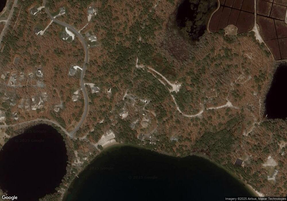
Map
Nearby Homes
- 52 Bettys Ln
- 728 Great Fields Rd
- 14 2nd St
- 16 Long Pond Dr
- 597 Great Fields Rd
- 30 Fox Crossing Rd
- 272 Sheep Pond Dr
- 13 Harwich Pines
- 120 Red Maple Rd
- 3 Stephen Hopkins Rd
- 33 Captain William Arthur Rd
- 3 Bentley Rd
- 309 Great Fields Rd
- 958 Long Pond Rd
- 26 Walkerwoods Dr
- 6 Cora Nickerson Rd
- 3 Bittersweet Ln
- 0 Johnson Cartway
- 18 Johnson Cartway
- 170 Crowells Bog Rd
- 30 Johnson Cartway
- 161 Crowell's Bog Rd
- 161 Crowells Bog Rd
- 160 Crowells Bog Rd
- 160 Crowell's Bog
- 20 Johnson Cartway
- 169 Crowells Bog Rd
- 154 Crowells Bog Rd
- 72 Johnson Cartway
- 75 Johnson Cartway
- 200 Crowells Bog Rd
- 14 Winstead Rd
- 72 Winstead Rd
- 9 Winstead Rd
- 11 Winstead Rd
- 4 Winstead Rd
- 5 Winstead Rd