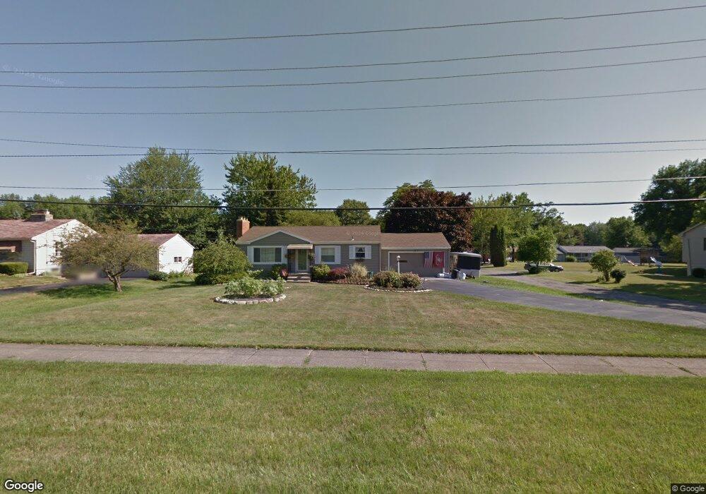
21 Johnston Place Youngstown, OH 44514
Estimated Value: $154,532 - $214,000
3
Beds
2
Baths
1,120
Sq Ft
$168/Sq Ft
Est. Value
About This Home
This home is located at 21 Johnston Place, Youngstown, OH 44514 and is currently estimated at $188,133, approximately $167 per square foot. 21 Johnston Place is a home located in Mahoning County with nearby schools including Poland Union Elementary School, Poland Middle School, and Poland Seminary High School.
Ownership History
Date
Name
Owned For
Owner Type
Purchase Details
Closed on
Aug 18, 2020
Sold by
Clark Thomas R
Bought by
Prokop Emily and Prokop Alex J
Current Estimated Value
Home Financials for this Owner
Home Financials are based on the most recent Mortgage that was taken out on this home.
Original Mortgage
$74,704
Interest Rate
2.71%
Mortgage Type
FHA
Purchase Details
Closed on
Sep 8, 1989
Bought by
Cannatti Louis J and J J
Create a Home Valuation Report for This Property
The Home Valuation Report is an in-depth analysis detailing your home's value as well as a comparison with similar homes in the area
Home Values in the Area
Average Home Value in this Area
Purchase History
| Date | Buyer | Sale Price | Title Company |
|---|---|---|---|
| Prokop Emily | $80,000 | None Available | |
| Cannatti Louis J | $60,000 | -- |
Source: Public Records
Mortgage History
| Date | Status | Borrower | Loan Amount |
|---|---|---|---|
| Previous Owner | Prokop Emily | $74,704 |
Source: Public Records
Tax History Compared to Growth
Tax History
| Year | Tax Paid | Tax Assessment Tax Assessment Total Assessment is a certain percentage of the fair market value that is determined by local assessors to be the total taxable value of land and additions on the property. | Land | Improvement |
|---|---|---|---|---|
| 2024 | $2,662 | $49,490 | $10,490 | $39,000 |
| 2023 | $2,560 | $48,140 | $10,490 | $37,650 |
| 2022 | $2,285 | $37,680 | $7,480 | $30,200 |
| 2021 | $2,185 | $37,680 | $7,480 | $30,200 |
| 2020 | $2,195 | $37,680 | $7,480 | $30,200 |
| 2019 | $2,050 | $32,650 | $7,480 | $25,170 |
| 2018 | $1,987 | $32,650 | $7,480 | $25,170 |
| 2017 | $1,970 | $32,650 | $7,480 | $25,170 |
| 2016 | $1,957 | $30,640 | $6,780 | $23,860 |
| 2015 | $1,857 | $30,640 | $6,780 | $23,860 |
| 2014 | $1,863 | $30,640 | $6,780 | $23,860 |
| 2013 | $1,841 | $30,640 | $6,780 | $23,860 |
Source: Public Records
Map
Nearby Homes
- 43 Venloe Dr
- 2035 Woodward Ave
- 34 Venloe Dr
- 1827 Alverne Dr
- 42 Edgewater Dr
- 1804 Alverne Dr
- 2061 Mathews Rd
- 2295 Bel Aire Ln
- 2153 Lyon Blvd
- 2128 Lyon Blvd
- 1890 Mathews Rd
- 1859 Mathews Rd
- 2307 Hamilton Ave
- 1738 Island Dr
- 5710 Youngstown Poland Rd
- 2379 Clyde St
- 0 Oles Ave
- 2411 Lyon Blvd
- 0 Mathews Rd Unit 5149232
- 0 Mathews Rd Unit 5143059
- 19 Johnston Place
- 354 Johnston Place
- 15 Johnston Place
- 360 Johnston Place
- 59 Alverne Dr
- 11 Johnston Place
- 362 Johnston Place
- 61 Alverne Dr
- 364 Johnston Place
- 9 Johnston Place
- 63 Alverne Dr
- 50 Alverne Dr
- 58 Alverne Dr
- 67 Alverne Dr
- 62 Alverne Dr
- 5 Johnston Place
- 366 Johnston Place
- 64 Alverne Dr
- 71 Alverne Dr
- 367 Johnston Place