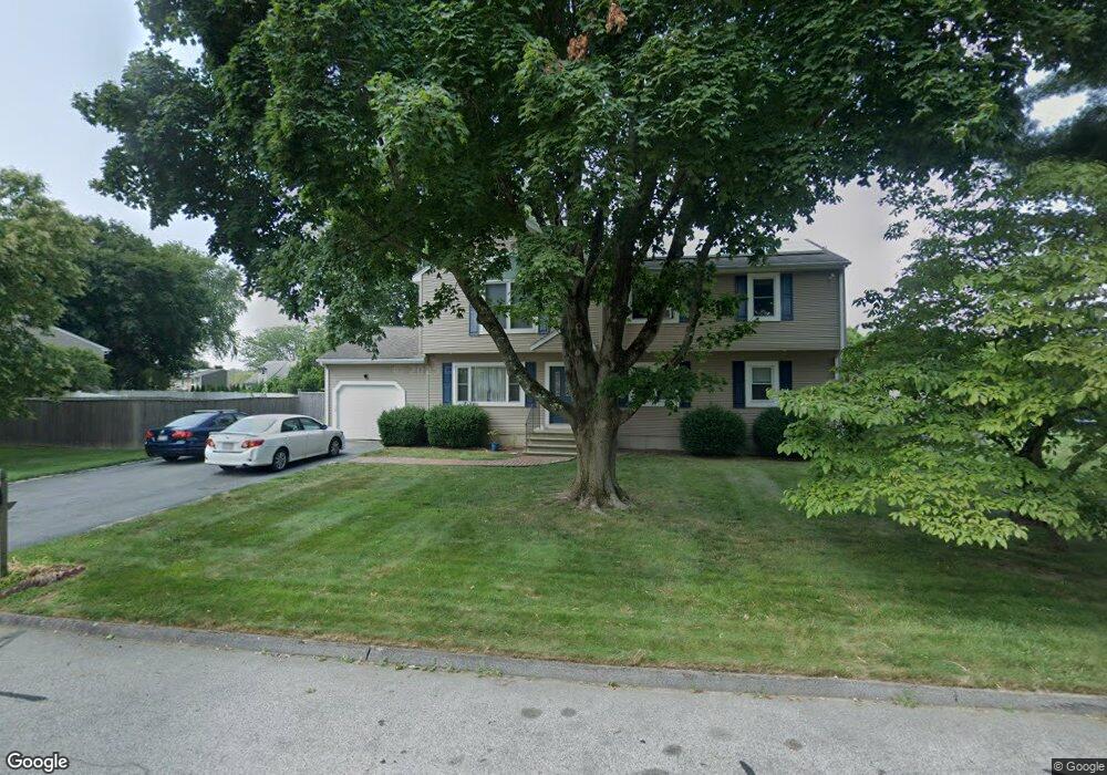
21 King Philip Rd Seekonk, MA 02771
Estimated Value: $654,000 - $945,000
3
Beds
3
Baths
3,108
Sq Ft
$259/Sq Ft
Est. Value
About This Home
This home is located at 21 King Philip Rd, Seekonk, MA 02771 and is currently estimated at $804,536, approximately $258 per square foot. 21 King Philip Rd is a home located in Bristol County with nearby schools including Seekonk High School, Ocean State Montessori School, and St Mary Academy-Bay View.
Ownership History
Date
Name
Owned For
Owner Type
Purchase Details
Closed on
Feb 19, 2009
Sold by
Moakler Jacqueline A
Bought by
Moakler-Wendel Jacqueline and Wendel Wayne J
Current Estimated Value
Purchase Details
Closed on
Feb 26, 1990
Sold by
Haining Michael
Bought by
Ernst Richard F
Home Financials for this Owner
Home Financials are based on the most recent Mortgage that was taken out on this home.
Original Mortgage
$142,400
Interest Rate
9.7%
Mortgage Type
Purchase Money Mortgage
Create a Home Valuation Report for This Property
The Home Valuation Report is an in-depth analysis detailing your home's value as well as a comparison with similar homes in the area
Home Values in the Area
Average Home Value in this Area
Purchase History
| Date | Buyer | Sale Price | Title Company |
|---|---|---|---|
| Moakler-Wendel Jacqueline | -- | -- | |
| Ernst Richard F | $178,000 | -- |
Source: Public Records
Mortgage History
| Date | Status | Borrower | Loan Amount |
|---|---|---|---|
| Previous Owner | Ernst Richard F | $142,400 | |
| Previous Owner | Ernst Richard F | $55,500 | |
| Previous Owner | Ernst Richard F | $22,000 |
Source: Public Records
Tax History Compared to Growth
Tax History
| Year | Tax Paid | Tax Assessment Tax Assessment Total Assessment is a certain percentage of the fair market value that is determined by local assessors to be the total taxable value of land and additions on the property. | Land | Improvement |
|---|---|---|---|---|
| 2025 | $8,041 | $651,100 | $161,500 | $489,600 |
| 2024 | $7,589 | $614,500 | $161,500 | $453,000 |
| 2023 | $7,364 | $561,700 | $144,900 | $416,800 |
| 2022 | $6,678 | $500,600 | $144,900 | $355,700 |
| 2021 | $6,413 | $472,600 | $124,000 | $348,600 |
| 2020 | $6,125 | $465,100 | $124,000 | $341,100 |
| 2019 | $5,859 | $448,600 | $124,000 | $324,600 |
| 2018 | $5,757 | $431,200 | $124,000 | $307,200 |
| 2017 | $5,621 | $417,600 | $125,400 | $292,200 |
| 2016 | $5,550 | $413,900 | $125,400 | $288,500 |
| 2015 | $5,226 | $395,000 | $113,800 | $281,200 |
Source: Public Records
Map
Nearby Homes
- 147 Olney St
- 358 Olney St
- 30 Rosemarie Dr
- 199 Cole St
- 349 County St
- 42 Tee Jay Dr
- 524 County St
- 454 Fall River Ave
- 759 Fall River Ave
- 698 Fall River Ave
- 420 Chestnut St
- 72 School St
- 44 Raymond Dr
- 39 John Alden Rd
- 296 Fall River Ave
- 62 Chestnut St
- 0 Milton St Unit 72633661
- 442 Taunton Ave
- 206 Wheeler St
- 0 Pleasant St
- 11 King Philip Rd
- 31 King Philip Rd
- 18 Mohawk Dr
- 22 King Philip Rd
- 12 Mohawk Dr
- 12 King Philip Rd
- 32 King Philip Rd
- 30 Mohawk Dr
- 41 King Philip Rd
- 5 King Philip Rd
- 2 King Philip Rd
- 32 Pocahontas Dr
- 42 King Philip Rd
- 21 Mohawk Dr
- 247 Olney St
- 259 Olney St
- 31 Mohawk Dr
- 223 Olney St
- 11 Mohawk Dr
- 42 Mohawk Dr