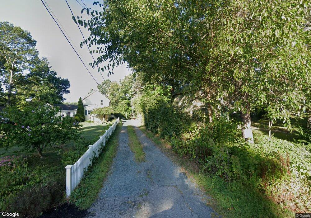
21 Lake St Wrentham, MA 02093
Estimated Value: $959,773 - $1,487,000
2
Beds
3
Baths
2,962
Sq Ft
$381/Sq Ft
Est. Value
About This Home
This home is located at 21 Lake St, Wrentham, MA 02093 and is currently estimated at $1,129,693, approximately $381 per square foot. 21 Lake St is a home located in Norfolk County with nearby schools including Delaney Elementary School and Charles E Roderick.
Ownership History
Date
Name
Owned For
Owner Type
Purchase Details
Closed on
Dec 7, 2017
Sold by
Stuart Darry W
Bought by
Darry W Stuart T
Current Estimated Value
Purchase Details
Closed on
Mar 27, 2017
Sold by
Stuart Darry W and Stuart Nancy L
Bought by
Stuart Darry W
Purchase Details
Closed on
Aug 31, 1994
Sold by
Friedman Joel and Freidman Marla
Bought by
Stuart Darry W and Stuart Nancy L
Home Financials for this Owner
Home Financials are based on the most recent Mortgage that was taken out on this home.
Original Mortgage
$100,000
Interest Rate
8.54%
Create a Home Valuation Report for This Property
The Home Valuation Report is an in-depth analysis detailing your home's value as well as a comparison with similar homes in the area
Home Values in the Area
Average Home Value in this Area
Purchase History
| Date | Buyer | Sale Price | Title Company |
|---|---|---|---|
| Darry W Stuart T | -- | -- | |
| Stuart Darry W | -- | -- | |
| Stuart Darry W | $289,000 | -- |
Source: Public Records
Mortgage History
| Date | Status | Borrower | Loan Amount |
|---|---|---|---|
| Previous Owner | Stuart Darry W | $100,000 | |
| Previous Owner | Stuart Darry W | $100,000 |
Source: Public Records
Tax History Compared to Growth
Tax History
| Year | Tax Paid | Tax Assessment Tax Assessment Total Assessment is a certain percentage of the fair market value that is determined by local assessors to be the total taxable value of land and additions on the property. | Land | Improvement |
|---|---|---|---|---|
| 2025 | $10,990 | $948,200 | $469,800 | $478,400 |
| 2024 | $11,226 | $935,500 | $469,800 | $465,700 |
| 2023 | $11,172 | $885,300 | $427,100 | $458,200 |
| 2022 | $9,693 | $709,100 | $379,100 | $330,000 |
| 2021 | $10,035 | $713,200 | $336,500 | $376,700 |
| 2020 | $10,257 | $719,800 | $367,000 | $352,800 |
| 2019 | $10,751 | $761,400 | $395,200 | $366,200 |
| 2018 | $10,765 | $756,000 | $395,900 | $360,100 |
| 2017 | $10,393 | $729,300 | $388,300 | $341,000 |
| 2016 | $10,173 | $712,400 | $377,100 | $335,300 |
| 2015 | $10,243 | $683,800 | $362,500 | $321,300 |
| 2014 | $10,083 | $658,600 | $348,600 | $310,000 |
Source: Public Records
Map
Nearby Homes
- 10 Nature View Dr
- 15 Nature View Dr
- 131 Creek St Unit 7
- 570 Franklin St
- 11 Earle Stewart Ln
- Lot 3 - 14 Earle Stewart Ln
- 270 Dedham St
- Lot 1 - Blueberry 2 Car Plan at King Philip Estates
- Lot 8 - Blueberry 2 Car Plan at King Philip Estates
- Lot 5 - Hughes 2 car Plan at King Philip Estates
- Lot 6 - Blueberry 3 Car Plan at King Philip Estates
- Lot 2 - Camden 2 Car Plan at King Philip Estates
- Lot 7 - Cedar Plan at King Philip Estates
- Lot 4 - Hemingway 2 Car Plan at King Philip Estates
- Lot 3 - Blueberry 2 Car Plan at King Philip Estates
- 1 Lorraine Metcalf Dr
- 319 Taunton St
- 50 Reed Fulton Ave Unit Lot 61
- 362 East St
- 246 Forest Grove Ave