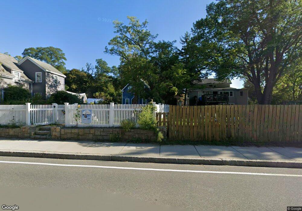
21 Langsford St Gloucester, MA 01930
Estimated Value: $648,000 - $857,000
2
Beds
1
Bath
1,093
Sq Ft
$678/Sq Ft
Est. Value
About This Home
This home is located at 21 Langsford St, Gloucester, MA 01930 and is currently estimated at $740,953, approximately $677 per square foot. 21 Langsford St is a home located in Essex County with nearby schools including Plum Cove School, Ralph B O'maley Middle School, and Gloucester High School.
Ownership History
Date
Name
Owned For
Owner Type
Purchase Details
Closed on
Sep 25, 2013
Sold by
Maza Susan C
Bought by
Maza Susan C and Maza Abdelhakim
Current Estimated Value
Home Financials for this Owner
Home Financials are based on the most recent Mortgage that was taken out on this home.
Original Mortgage
$216,000
Outstanding Balance
$141,553
Interest Rate
4.56%
Mortgage Type
Stand Alone Refi Refinance Of Original Loan
Estimated Equity
$599,400
Purchase Details
Closed on
Nov 15, 1991
Sold by
Grella Joseph M and Grella Joanne
Bought by
Frederick Andrew N and Frederick Susan C
Create a Home Valuation Report for This Property
The Home Valuation Report is an in-depth analysis detailing your home's value as well as a comparison with similar homes in the area
Purchase History
| Date | Buyer | Sale Price | Title Company |
|---|---|---|---|
| Maza Susan C | -- | -- | |
| Frederick Andrew N | $132,300 | -- |
Source: Public Records
Mortgage History
| Date | Status | Borrower | Loan Amount |
|---|---|---|---|
| Open | Frederick Andrew N | $216,000 | |
| Previous Owner | Frederick Andrew N | $85,500 | |
| Previous Owner | Frederick Andrew N | $87,000 |
Source: Public Records
Tax History
| Year | Tax Paid | Tax Assessment Tax Assessment Total Assessment is a certain percentage of the fair market value that is determined by local assessors to be the total taxable value of land and additions on the property. | Land | Improvement |
|---|---|---|---|---|
| 2025 | $5,286 | $543,800 | $242,500 | $301,300 |
| 2024 | $5,178 | $532,200 | $230,900 | $301,300 |
| 2023 | $5,183 | $489,400 | $206,200 | $283,200 |
| 2022 | $4,976 | $424,200 | $175,300 | $248,900 |
| 2021 | $4,809 | $386,600 | $159,400 | $227,200 |
| 2020 | $4,704 | $381,500 | $159,400 | $222,100 |
| 2019 | $4,496 | $354,300 | $159,400 | $194,900 |
| 2018 | $4,332 | $335,000 | $159,400 | $175,600 |
| 2017 | $4,204 | $318,700 | $151,800 | $166,900 |
| 2016 | $4,075 | $299,400 | $152,300 | $147,100 |
| 2015 | $3,941 | $288,700 | $152,300 | $136,400 |
Source: Public Records
Map
Nearby Homes
- 10 Emerald St
- 43 High St Unit B
- 9 Hickory St
- 1030 Washington St
- 4 Ciaramitaro Ct
- 136 Leonard St
- 94 Phillips Ave
- 13 Phillips Ave
- 32 Haven Ave
- 5 Boulder Top
- 33 Quarry Ridge Ln Unit 33
- 13 Rowe Point
- 5 Smith St Unit R
- 672 Washington St
- 1 Charte Ct
- 1 Main St Unit R
- 1 Main St Unit C
- 1 Jewett St Unit 2
- 177 Main St
- 1 High St
- 19 Langsford St
- 23 Langsford St
- 25 Langsford St
- 8 Munsey Ln
- 15 Langsford St
- 6 Munsey Ln
- 1110 Washington St
- 24 Langsford St
- 1106 Washington St
- 1108 Washington St
- 27 Langsford St
- 1104 Washington St
- 20 Langsford St
- 1102 Washington St
- 13 Langsford St
- 1112 Washington St
- 9 Langsford St
- 1114 Washington St
- 1100 Washington St
- 16 Langsford St
Your Personal Tour Guide
Ask me questions while you tour the home.